Directions to start
There is a limited bus service through Bigton, which can be viewed on the South Mainland bus timetable, but we'd recommend taking your car to reach this walk.
There is a limited bus service through Bigton, which can be viewed on the South Mainland bus timetable, but we'd recommend taking your car to reach this walk.
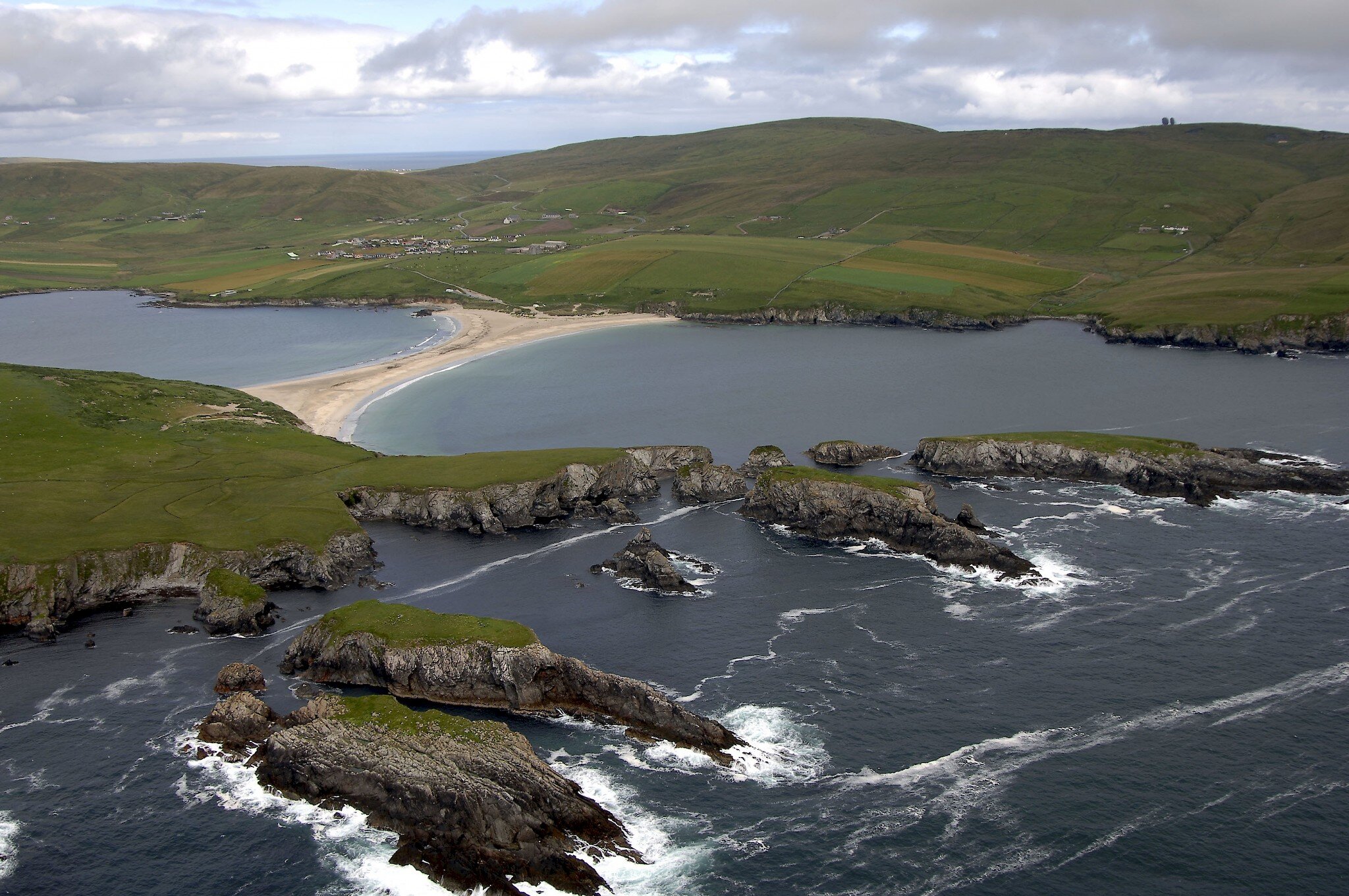
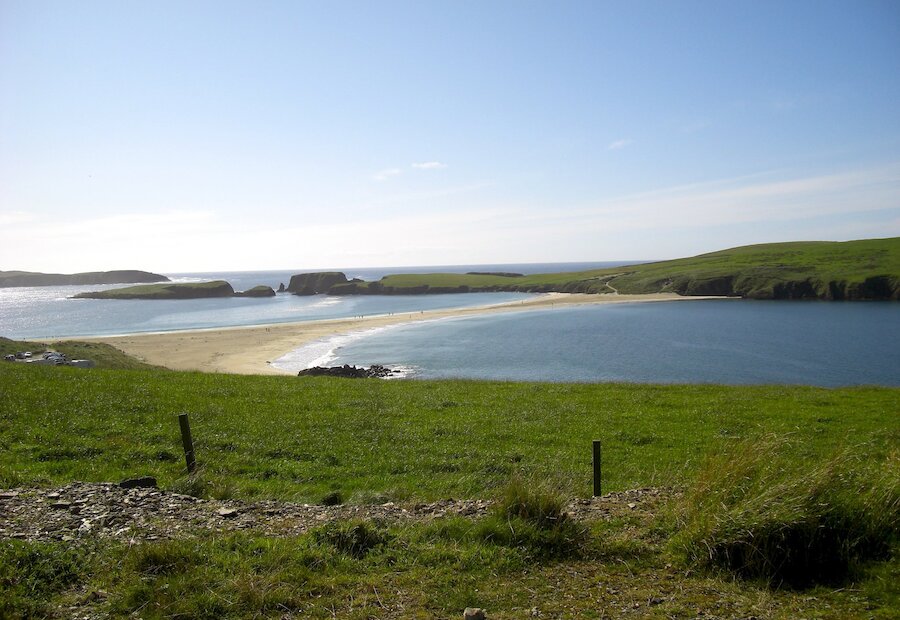
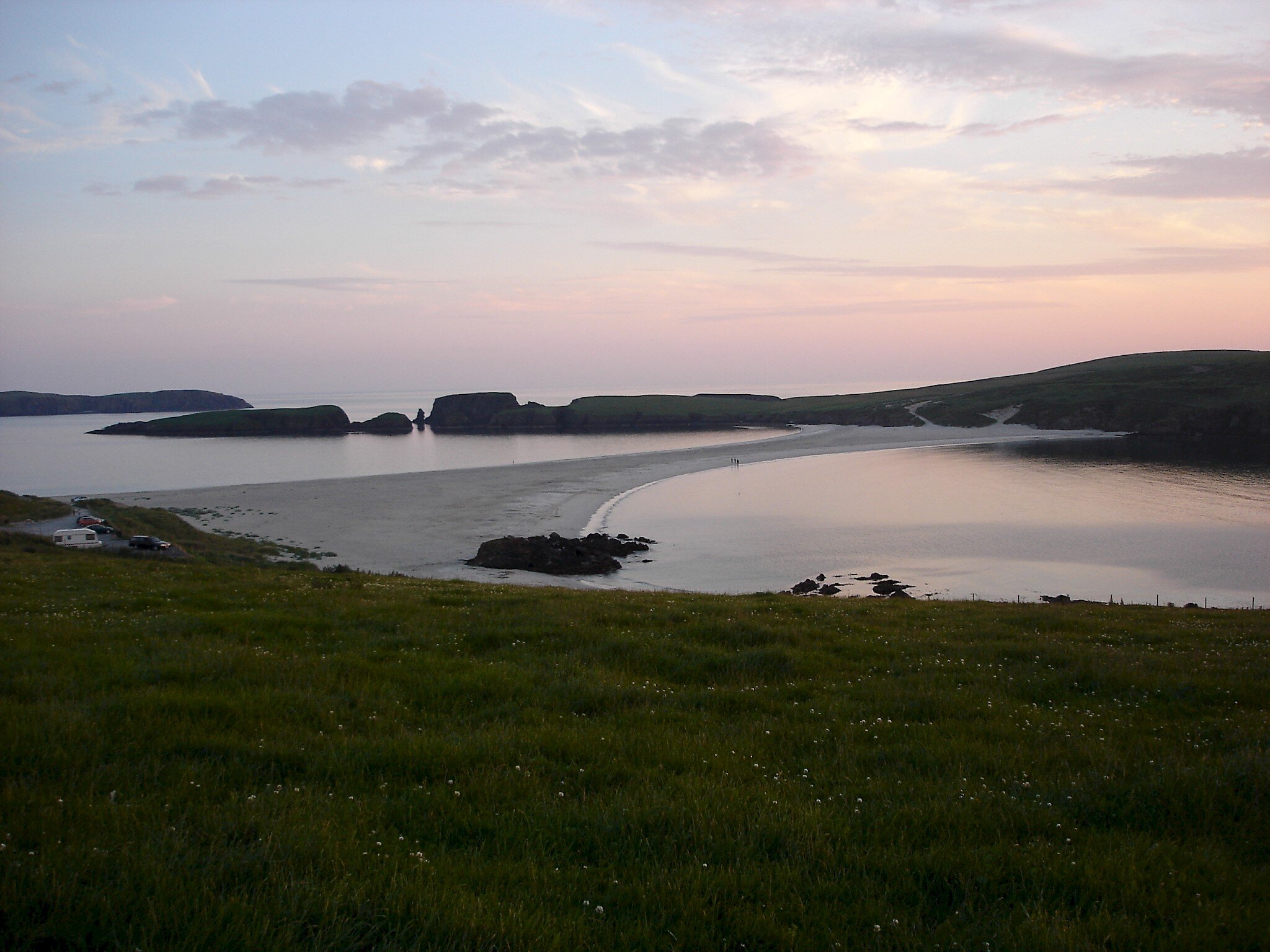
This walk begins at the car park next to one of Shetland's crowning jewels, the sand tombolo that connects Mainland to St Ninian's Isle. A rich Pictish treasure hoard was found in the ancient Chapel site on the island. The cliff scenery on the island is spectacular, but it is advisable to keep well away from the edges.
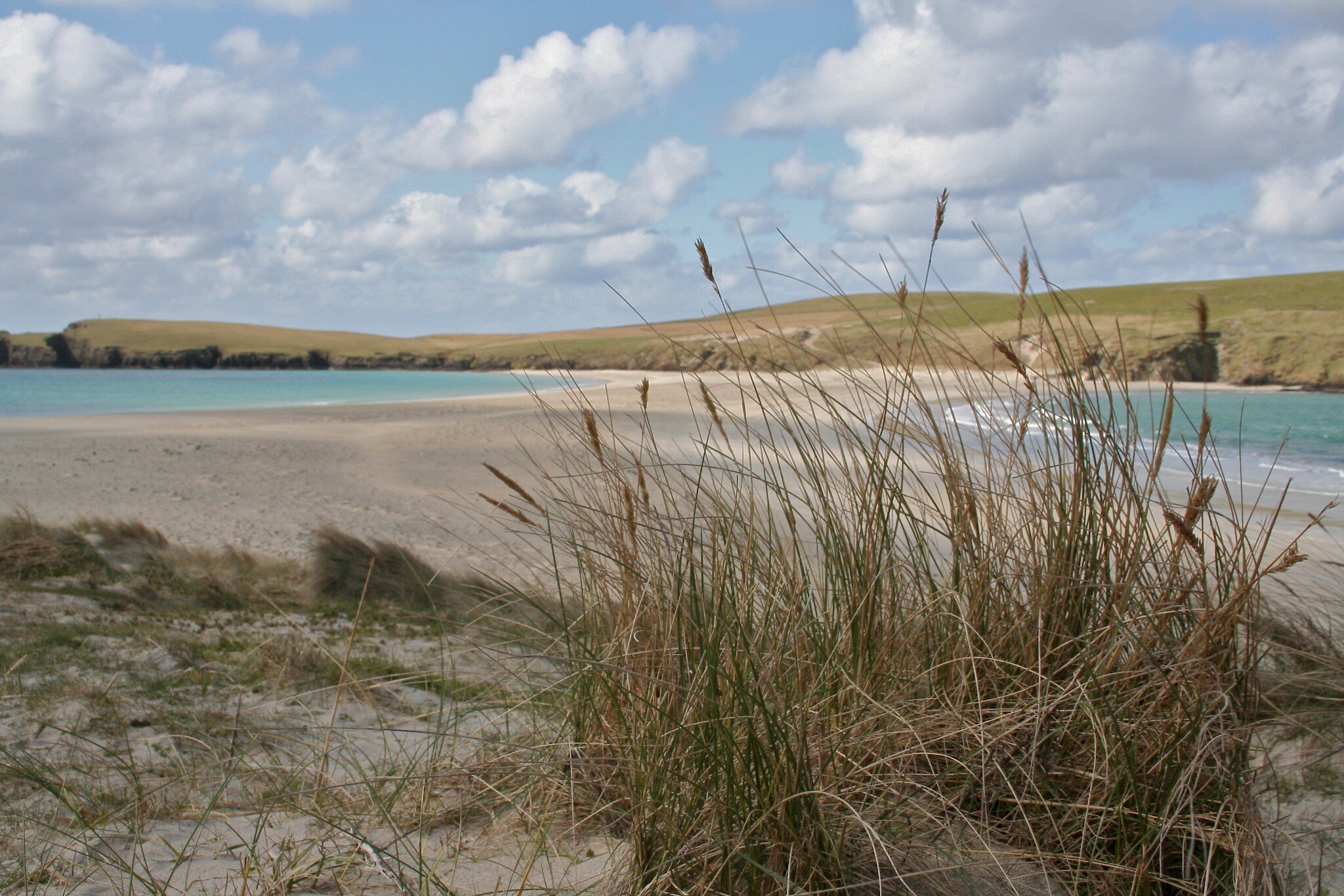
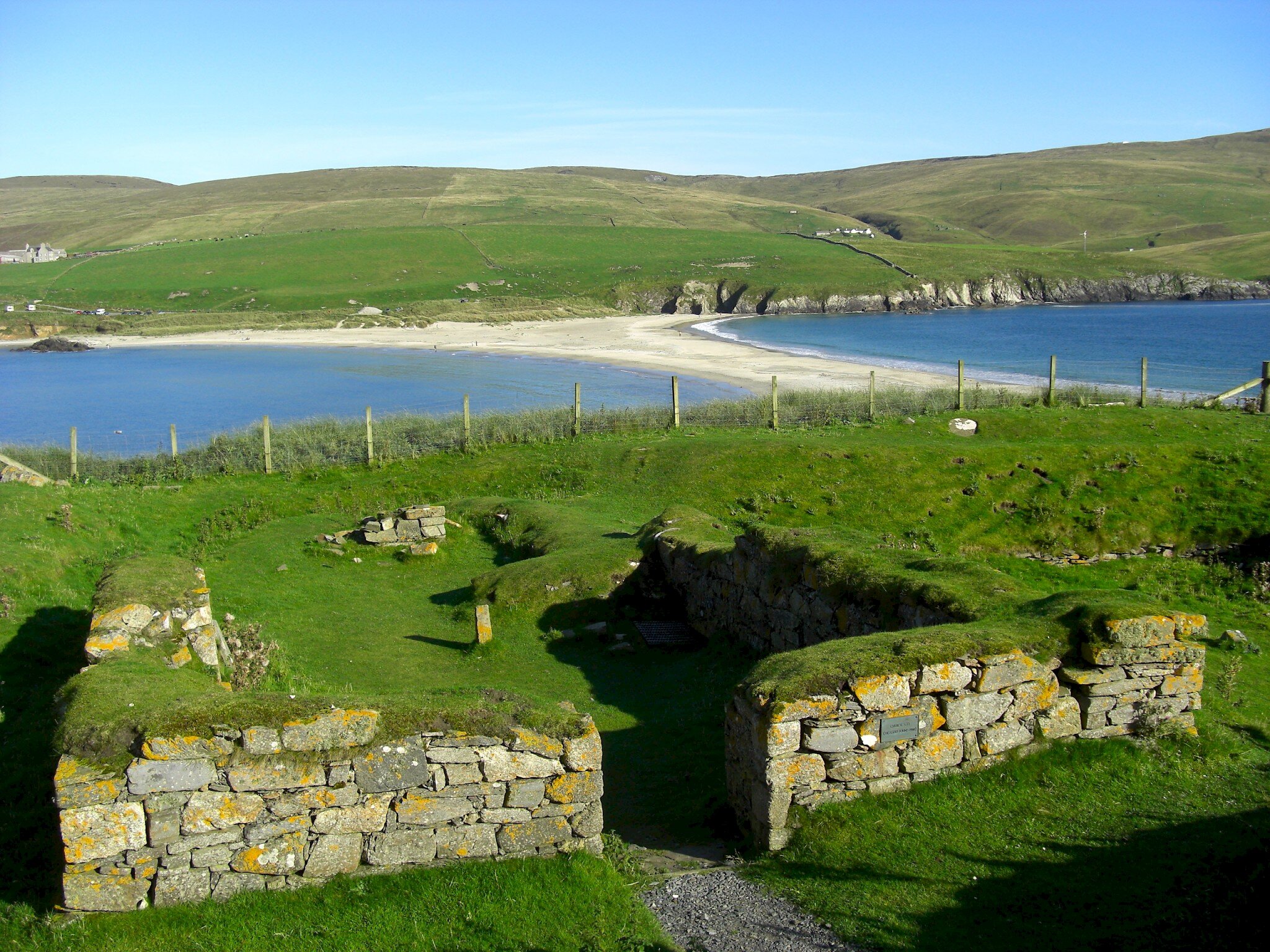
The tombolo, or ayre, is a lovely walk in its own right, with the two beaches surprisingly different when you explore them. Bear in mind that a high wall divides the island in two and there is easier access at the ends, rather than in the middle.
There is a track up the steep sandy slope up from the beach; this is unstable in places, but manageable. The ancient Chapel site is well worth a visit, turn right at the top of the slope, but watch out for deep rabbit holes at your feet. There are illustrated interpretative boards here to explain the area.
From the Chapel head south across the even greensward and take a clockwise route round the island. A crofting township once thrived here, but every single house and wall was demolished after the people left and not a trace of the buildings remains. Every stone went into the great wall. Great expanses of fine, even grassland now cover the places where the rigs (fields) were cultivated. In some low light, traces of the old rig lines can occasionally be seen.
The south end of the isle is hard to match for scenery, with scores of skerries and larger islands of Coar Holm, Inns Holm and High Herbi Clett. Further to the west, Sweyn Holm is a great rock mass, separated by a narrow channel from the main isle. Here the coastal grassland is littered with rocks and stones cast up by angry winter seas. Hich Holm stands a short distance out to the west. There are great views of the West Side of Shetland from this side of St Ninian's Isle.
Keep well back from the tops of the deep inlets, or geos, which cut sharply into the land along the west side here. There is often excellent bird watching, but never walk along with your eyes to the binoculars, in case a chasm opens up at your feet.
The ground gets uneven in places, but the northern stretch up to Loose Head is very easy. The cliffs here are very high, but as you round the head and begin to return over Coll Field, the ground gradually drops away. Stop to take in the views of Bigton and Ireland with their clusters of cottages and the old rigs reaching down the slope towards the shoreline. Somewhere above the Ireland rigs, an ancient round towered church once stood. Its exact location is not known.
Make your way back above Scarfi Taing and down the sand slope onto the ayre again. Look out for fine phyllite schist pebbles in the sand as you cross.