


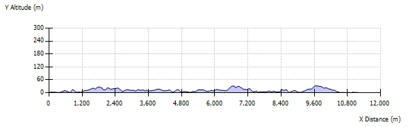
Walk Information
From the pier, you can walk round both Housay and Bruray in a few hours, depending on your pace. The single track road leads round the harbour, past the shop and uphill past the school. It descends to the bridge and divides, the left hand reaching the shop and some cottages, the right fork carries on. The road divides again at the Skerries Hall; the left fork reaching the church, the right fork dipping down to the shore and passing the splendid erratic locally called "Wilfastik", then rises and curves over a hill, dropping down to the salmon shed and the cemetery.
If you would rather head for the hills, they are all accessible and for the most part, the going is easy. A rough clockwise circuit is among the most satisfying routes. Head from the ferry to Housay or "West Isle" and take the steep left fork, past the Post Office and cut up towards the famous historic "Battle Pund" site, marked by a rough circle of well embedded, large boulders.
The coastline is deeply indented all round Skerries, so a route too close to the cliffs, will easily double the length of the walk. There are fine views from the coastguard hut above and it is worth the climb to get your bearings. Skerries may be small, but it is surprisingly easy to get lost. The narrow headland of Mio Ness stretches out to the south west and makes an excellent detour. You can no longer safely access the final part, as the sea has eroded the gully, which follows a fault line across the tip.
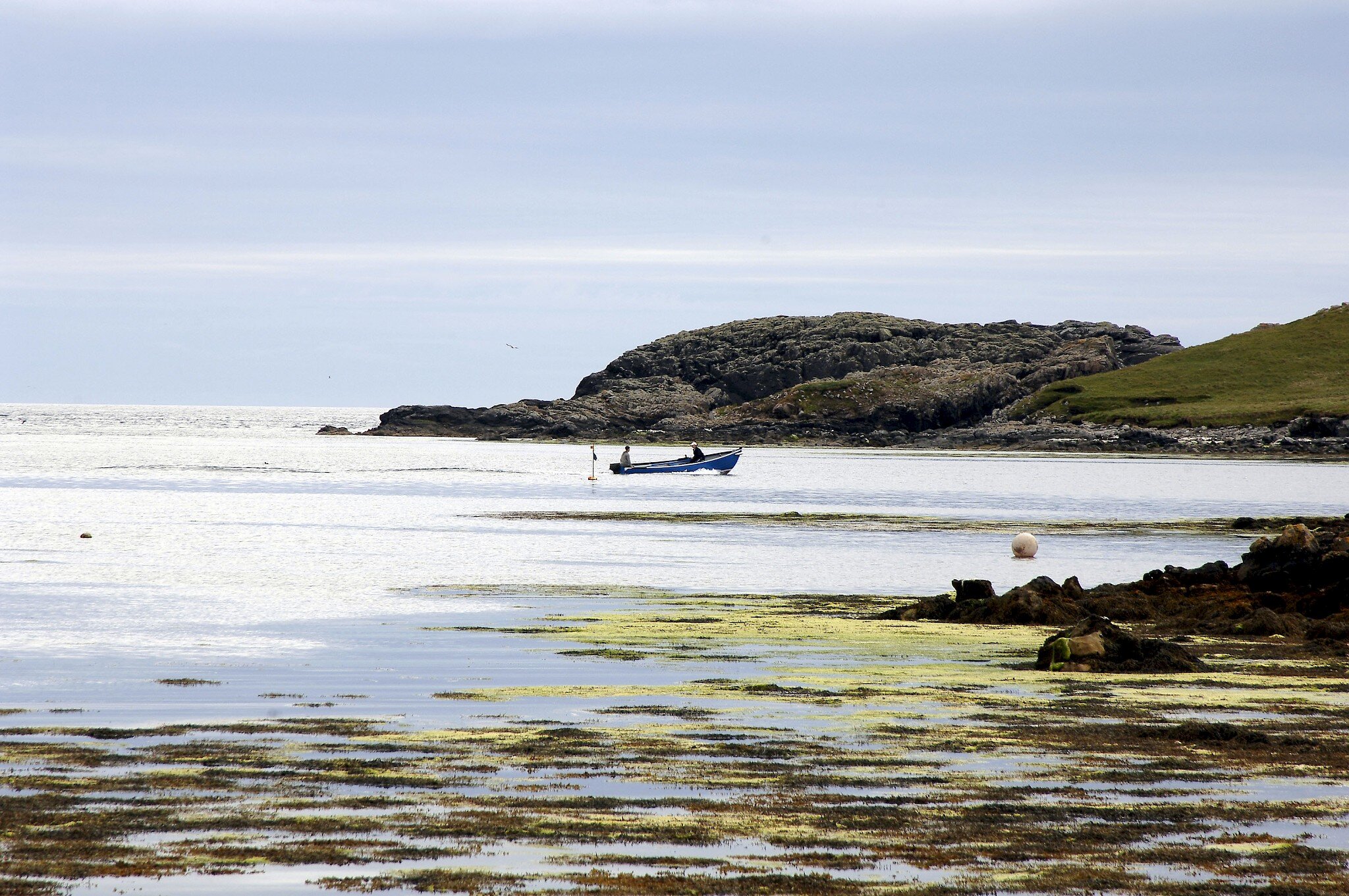
Returning from Mio Ness, skirt the shore of West Voe and passing the salmon shed, make for the burn that enters West Voe from the northeast. It can be marshy here. You can reach the top of the North Hill easily within twenty minutes and here again you can enjoy vast panoramas of sea-girt Shetland from Noss right up to Unst. Circle the north banks and look across at the jagged sea stacks, Wether Holm and the Hevda Skerries, then descend to Brothers' Beach, once a fishing station.
The west shore of North Mouth is crossed by bands of pale pink calcite. You can find attractive pebbles of this rather soft rock, in the small shingle beaches along here. Half way along this stretch of coast there is a remarkable area of sheltered, fertile land, crossed by many stone dykes and littered with planticrubs and giant boulders. Called the "Old Village" by some islanders, this is the only place in Skerries out of sight of the sea.
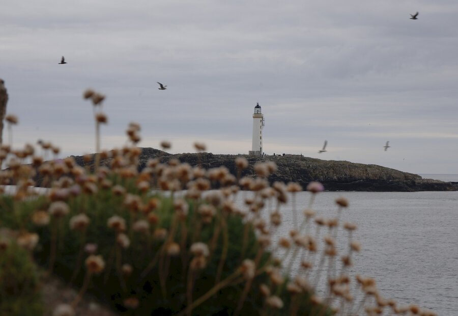
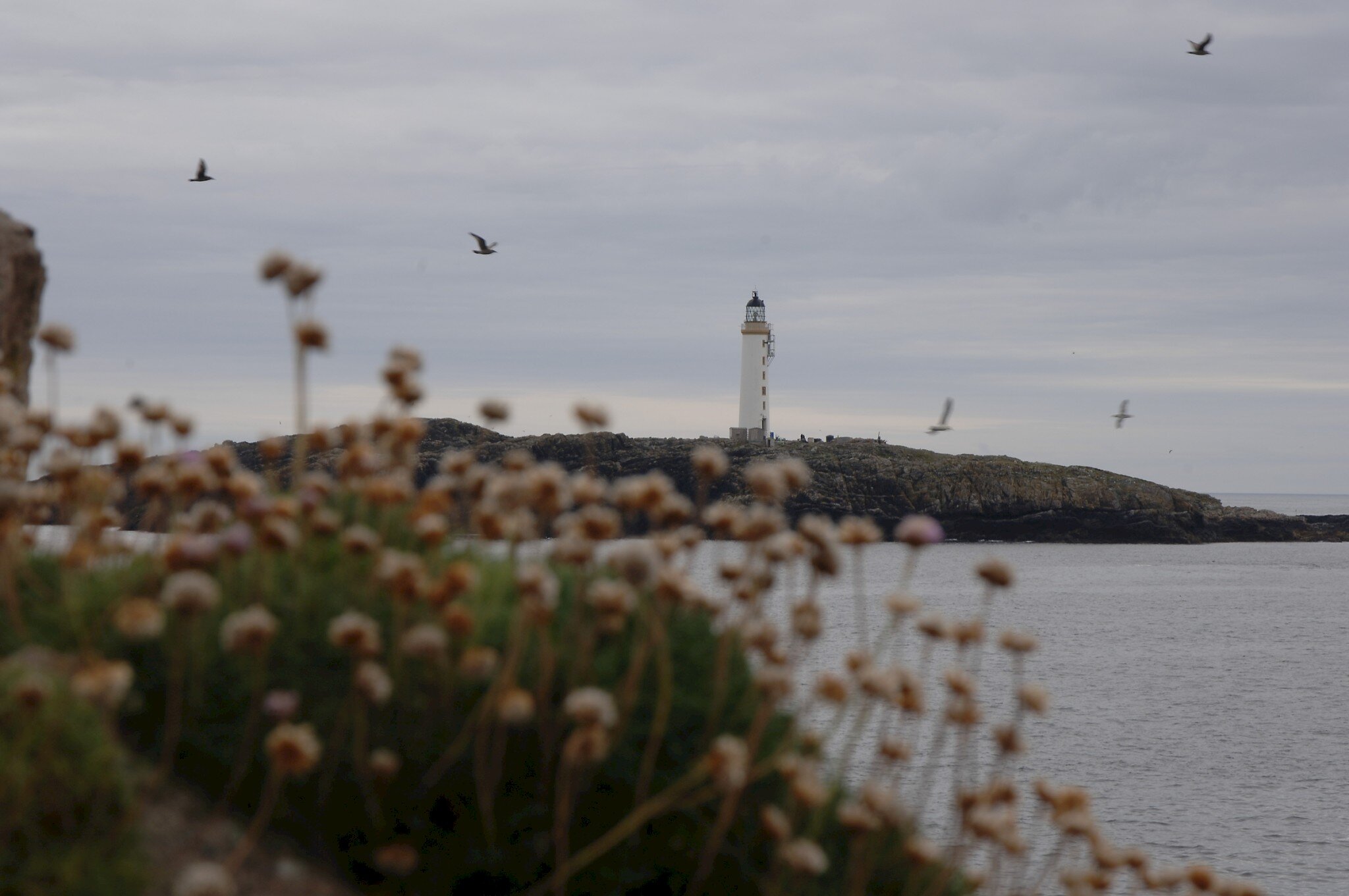
Carry on back to the bridge and make a shorter circuit of Bruray, or "East Isle", which overlooks the lighthouse on Bound Skerry. The new water scheme here, brings ground water through a series of channels to the reservoir and down into the filter shed, replacing the thirty wells which supplied the island before. Take care round the cliffs here as they overhang in places.