Directions to start
There is no direct bus service to the start point of this walk, so we'd recommend travelling there by car.
There is no direct bus service to the start point of this walk, so we'd recommend travelling there by car.
This walk takes in a hidden corner of Shetland by following the coast around one of Shetland's nicest headlands, Ling Ness. From the road side follow the track north east enjoying views across the bay and taking care to leave any gates as you find them.
There can be cattle in the fields so be aware of them if you have a dog and be prepared to slip its lead if they become overly inquisitive.
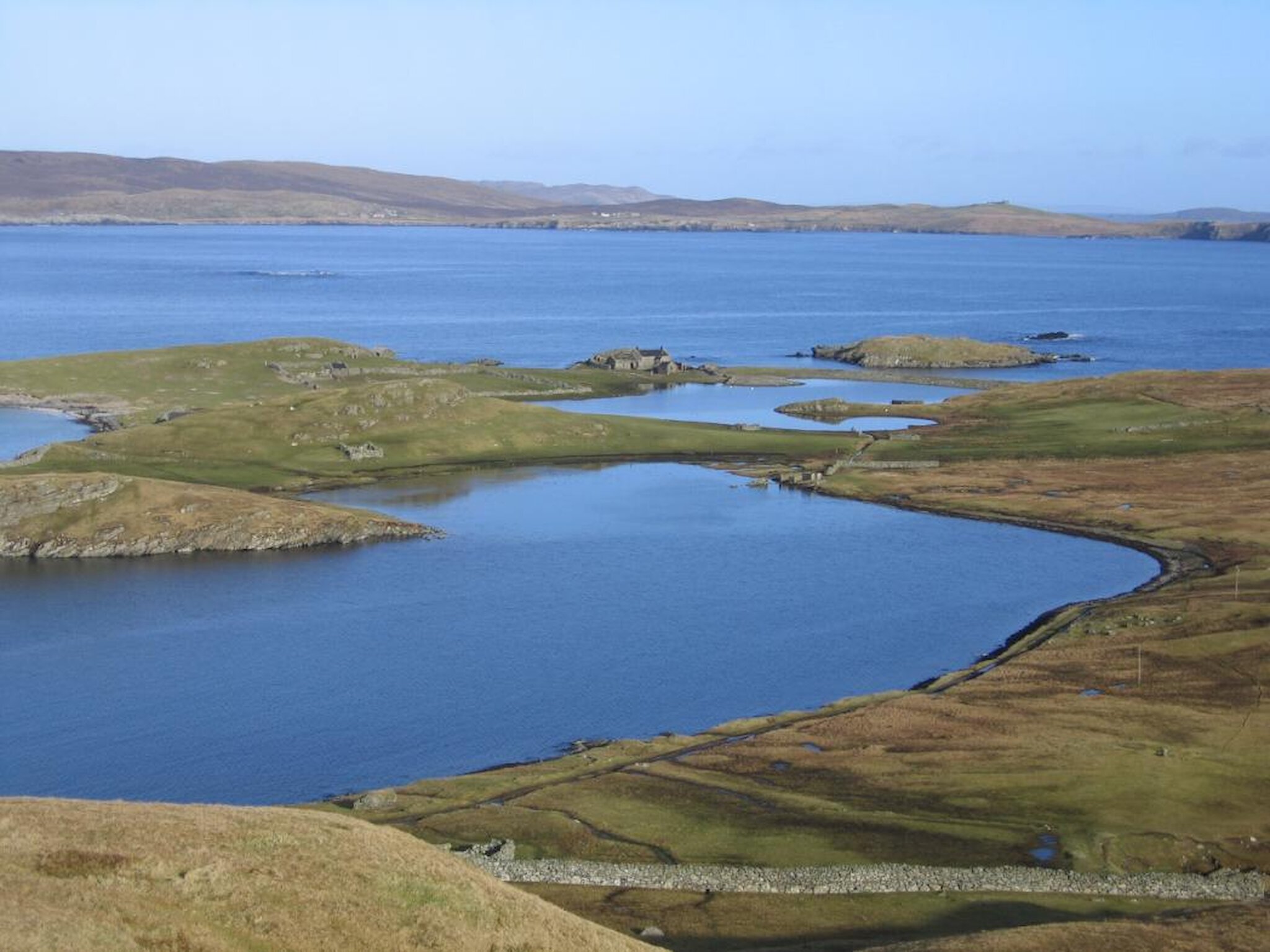
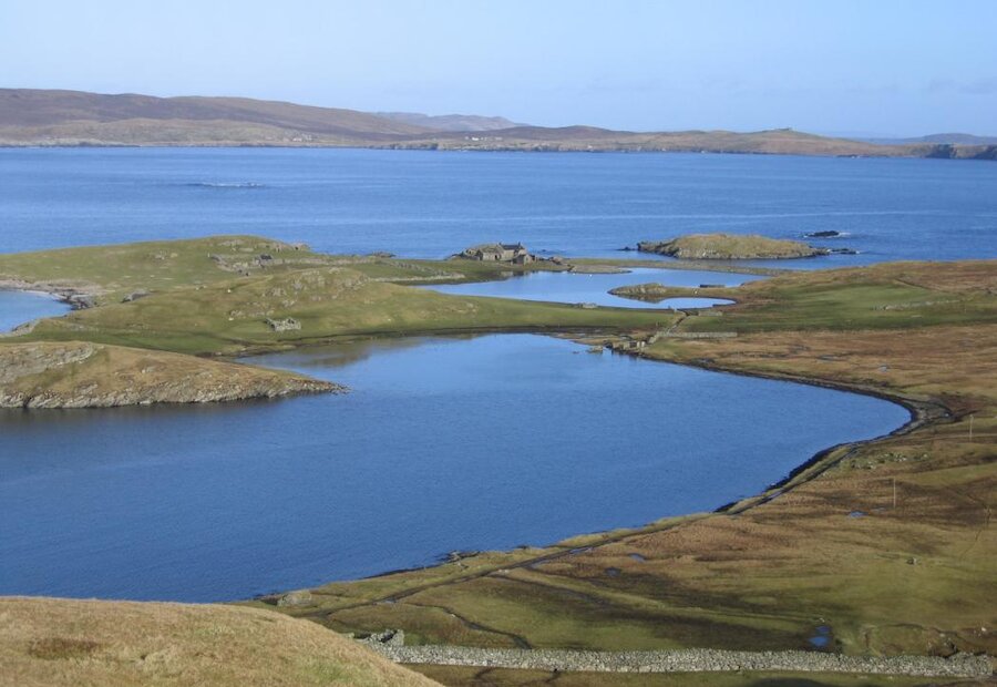
There is a great view of the headland of Ling Ness and the bay behind it known as the Dock of Lingness. This area is a favourite haunt of otters as well as wading birds. During exceptionally severe winter storms from the south-east, the sea has come across the neck of land and around the house, forcing the inhabitants to leave.
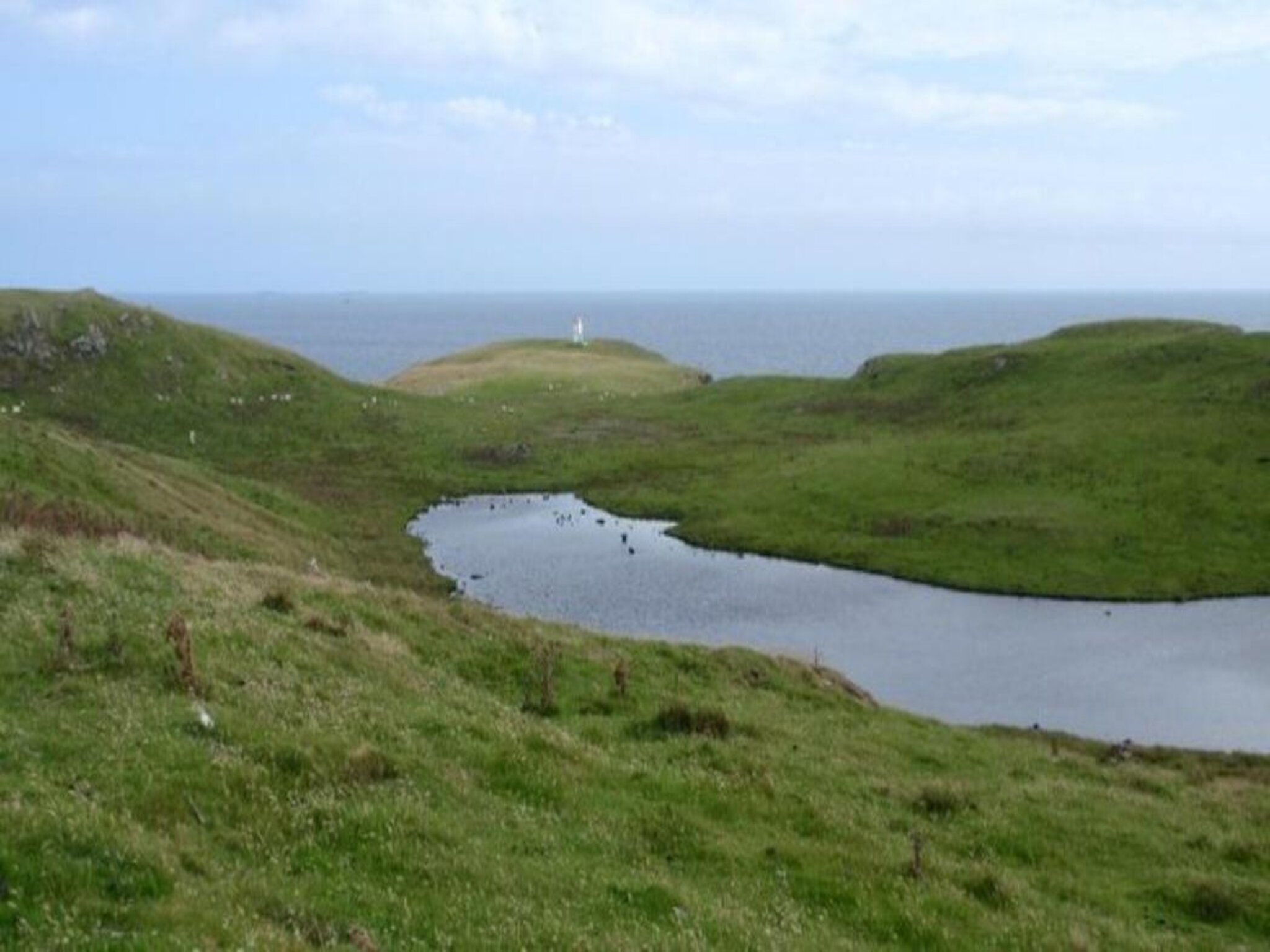
Take care while walking around the coast of Ling Ness, but take time to investigate the cliffs and geos which can be full of birdlife and enjoy the panoramic view from Whalsay and Out Skerries to Bressay and Noss. To the north is the Hoo Stack light that warns sailors of the Voder and Climnie reefs in South Nesting Bay.
Follow the coast south until a fence leads you south west and back to the road.