


Directions to start
Limited public transport is available to Hillswick, and the timetable can be found on the Shetland Travel Information website. We'd recommend getting there by car.
Limited public transport is available to Hillswick, and the timetable can be found on the Shetland Travel Information website. We'd recommend getting there by car.
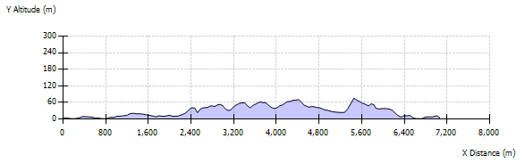
This is one of the most spectacular walks in Shetland, but it's not advisable in windy or foggy conditions. A roughly diamond shaped headland, reaching south from Hillswick, rich in geology and archaeology, a large cattle farm and some fabulous cliff scenery.
Start at the car park by The Booth, one of Shetland's oldest buildings and walk left, along the shingle beach past the Manse and on to Tur Ness, where there are remains of a very old possibly Norse or medieval building. At intervals along the low shore here, exposed rocks reveal some amazingly colourful strata and folding. At the bight of Niddister there are even more varieties of minerals among the pebbles where all kinds of rock types are exposed.
Inland from here, overlooking the Loch of Niddister, are the ruins of the one time thriving crofting township, with all manner of buildings, wells, pond and stone walls. It is a bleak place now, slowly returning to the wild, under the looming bulk of Hu Field, sheltered from the worst of the southwesterly winds. Niddister stands witness to an industrious, self-sufficient culture, now all but vanished from Shetland.
There are Neolithic remains here too, evidence that people were making ends meet up to five thousand years before. Scores of different wild flowers bloom here in spring and summer and scores of brightly coloured fungi in autumn. Continue round the coast, keeping away from the cliff edges as the ground begins to rise. Views open out ahead and to the east; the Ness of Olnesfirth, Ness of Hamar, Hamar and Nibon with Mangaster behind.
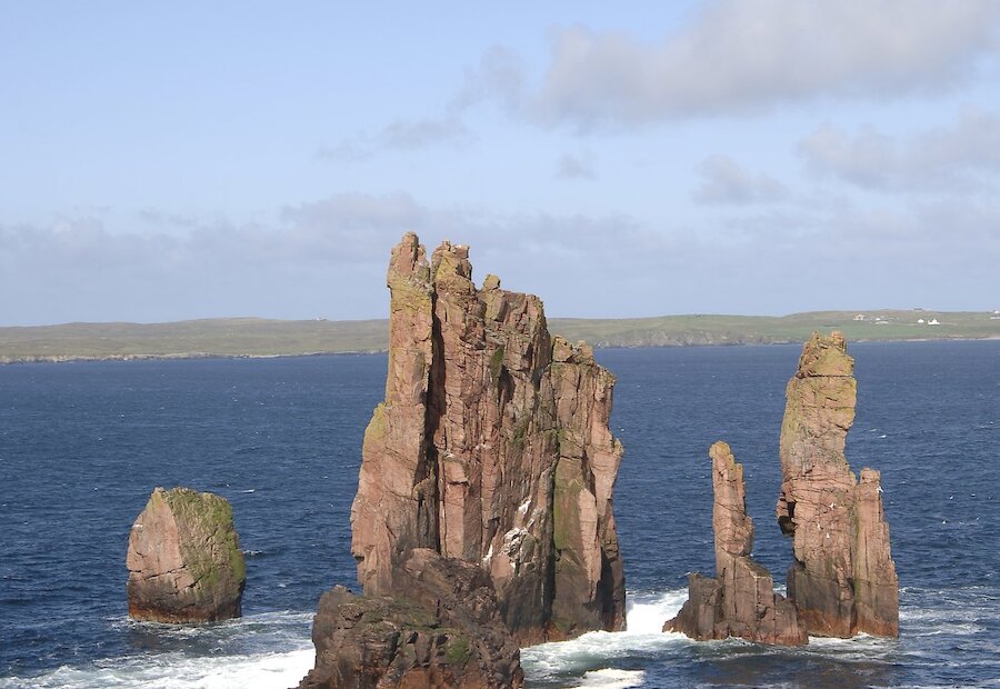
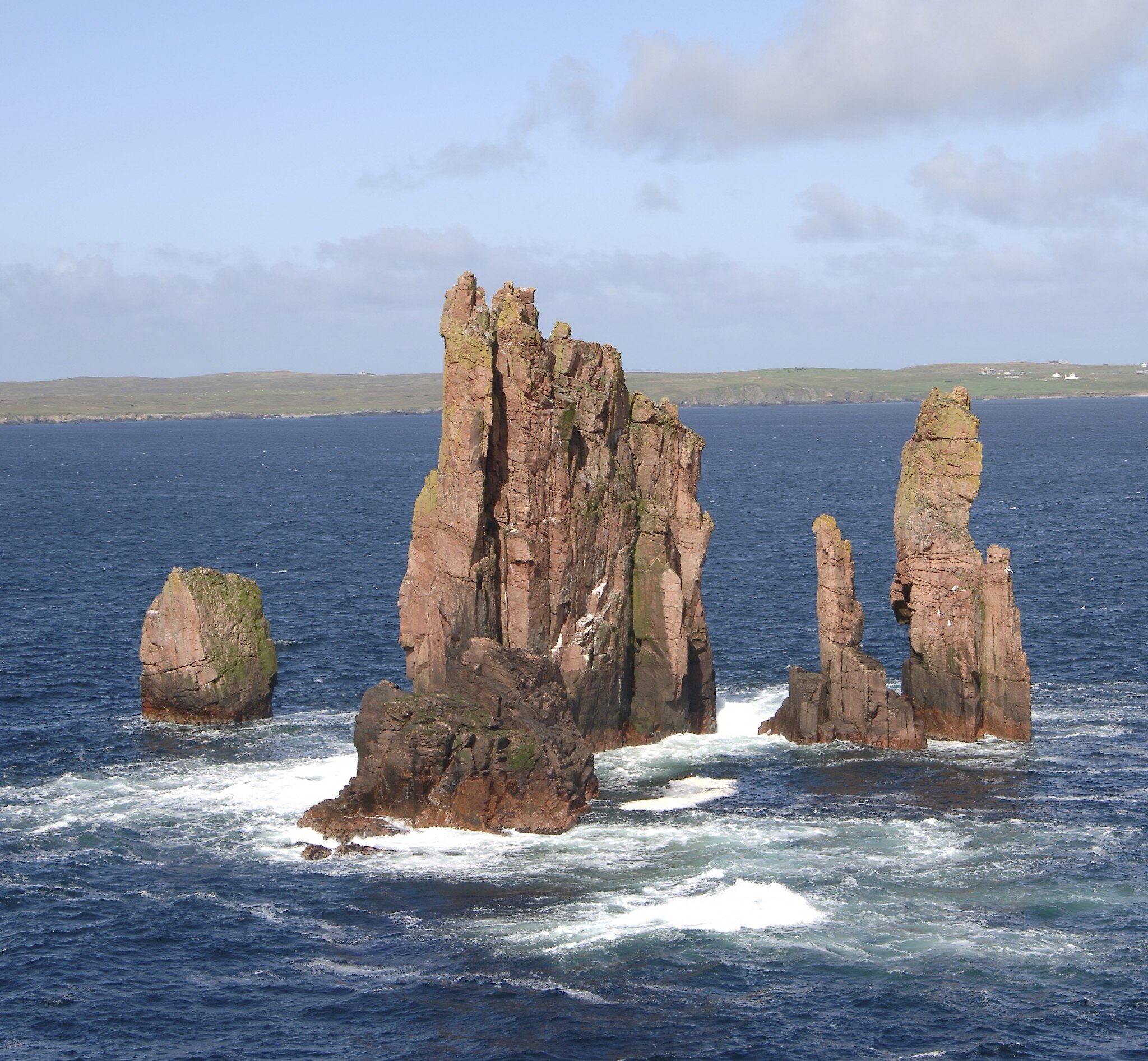
At Queen's Geo and the end of the ness, the cliffs are precipitous and at one place a line of posts has been hammered in to help the lighthouse men reach the building safely in foggy conditions. Once round the tip, the cliffs become yet more dramatic, and the views as well. Foula, Fitful Head and the Ve Skerries can be seen on the horizon, with the Drongs, Eshaness and the Heads of Grocken to the northeast. Ronas Hill rises away to the north and in the foreground, Hillswick clustered down by the shore.
The circuit continues as you climb up Oris Field and drop down into the valley. This can be rather wet at time. A splendid Neolithic house was built here thousands of years ago and the outline and the base of the walls can still be seen, as well as the sheltering "apron" bank in front of the house entrance. The climate would have significantly warmer at that time.
Carry on, up the last rise and down the far side. Boggy ground, full of the deep imprints of cows' hooves, some deep channels where folk are trying to drain the area and some sturdy walls have to be negotiated before you reach the beach at Sandwick, then walk via the cemetery back to the Booth.