Directions to start
Fetlar is accessible by ferry via Unst and Yell.
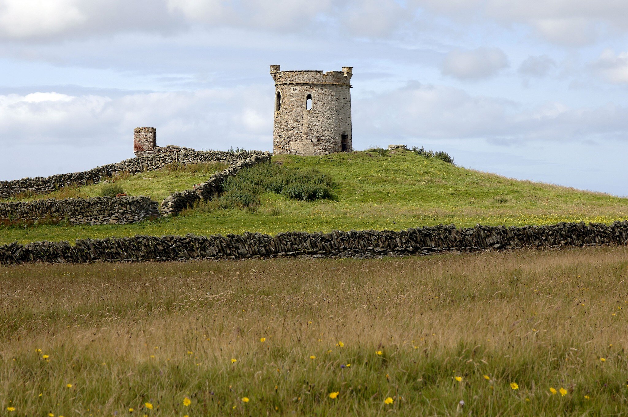
A very special island, traditionally known as the "Garden of Shetland", Fetlar has a wealth of historical, archaeological, geological and wildlife interest.
Fetlar is accessible by ferry via Unst and Yell.
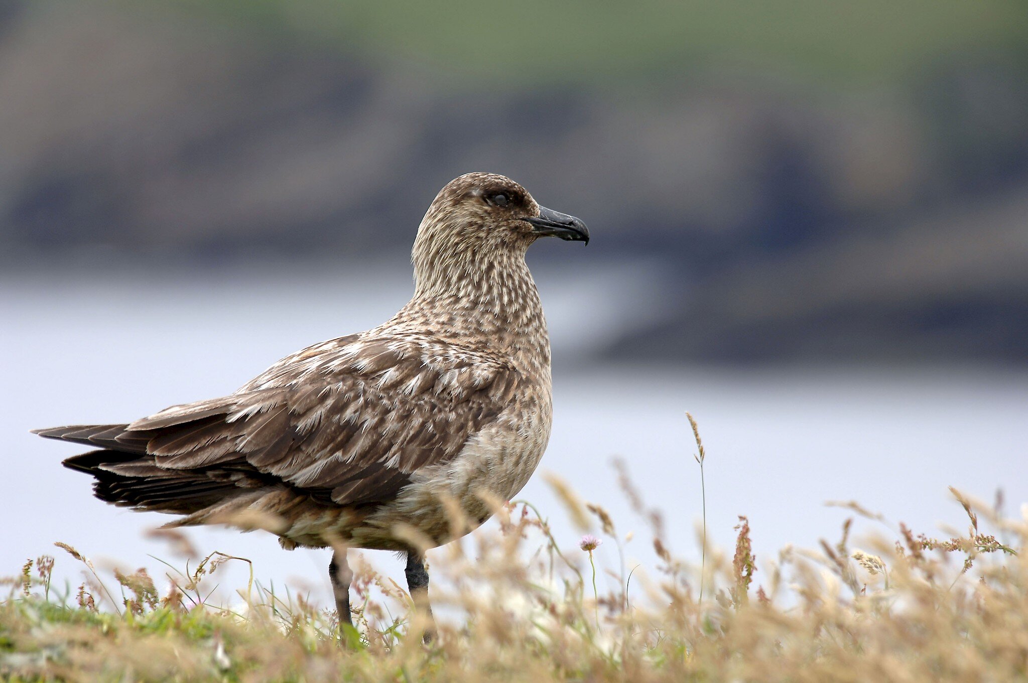
It became world famous for its breeding snowy owls, sadly no longer a feature. There are large RSPB reserves and a hide for watching the rare red necked phaleropes. This walk takes in the south East corner of the island, but if you can, allow time to explore more of Fetlar, including its museum, church, old hall, follies and bird hide. There is a beautiful beach at Tresta with graphite pebbles with which you can draw black lines onto paper.
A very special island, traditionally known as the "Garden of Shetland", Fetlar has a wealth of historical, archaeological, geological and wildlife interest. It became world famous for its breeding snowy owls, sadly no longer a feature. There are large RSPB reserves and a hide for watching the rare Red-necked Phalarope.
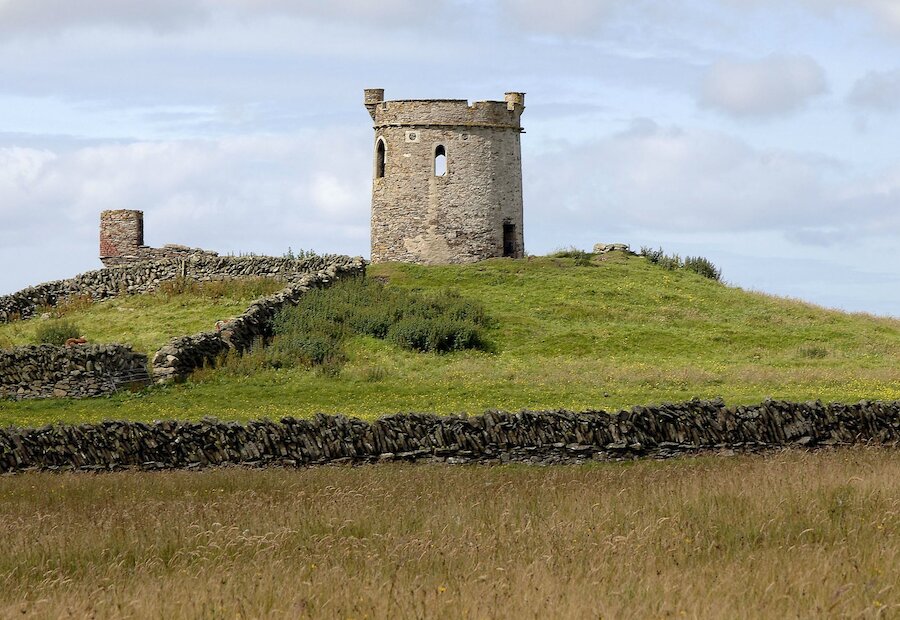
This walk takes in the south East corner of the island, but if you can, allow time to explore more of Fetlar, including its museum, church, old hall, follies and bird hide. There is a beautiful beach at Tresta with graphite pebbles with which you can draw black lines onto paper.
The walk begins at Funzie Beach which is one of Shetland's geological highlights. The pebbles here are millions of years old, having been buried and partially melted, deformed and then exposed as the Earth's crust shifted. Now they are eroding all over again, to lie once more among the flotsam of the sea. Climb up the steep banks to the south, following the line of the cliffs, but not too close to the edges.
As you gain height, there are fine views along the jagged cliffs here, with sea stacks and skerries. Look out for otters that often frequent the two small lochs and the burn that flows out of them, down into Muckle Birriers Geo. The conglomerate rock from which these cliffs are made, is said to be thousands of metres deep.
Continue round the coast past Hawks Geo, Butsa and The Snap, curving round to the north and past Croo Water. There are several prehistoric house sites around the loch, with evidence of ancient boundary dykes under the heather. At Staves Geo there are striking veins of pure white quartz along hydrothermal veins in the cliff face. If you have time, you can detour up to the top of The Crooans, where there remains of a Neolithic chambered cairn and nearby, a coastguard lookout hut.
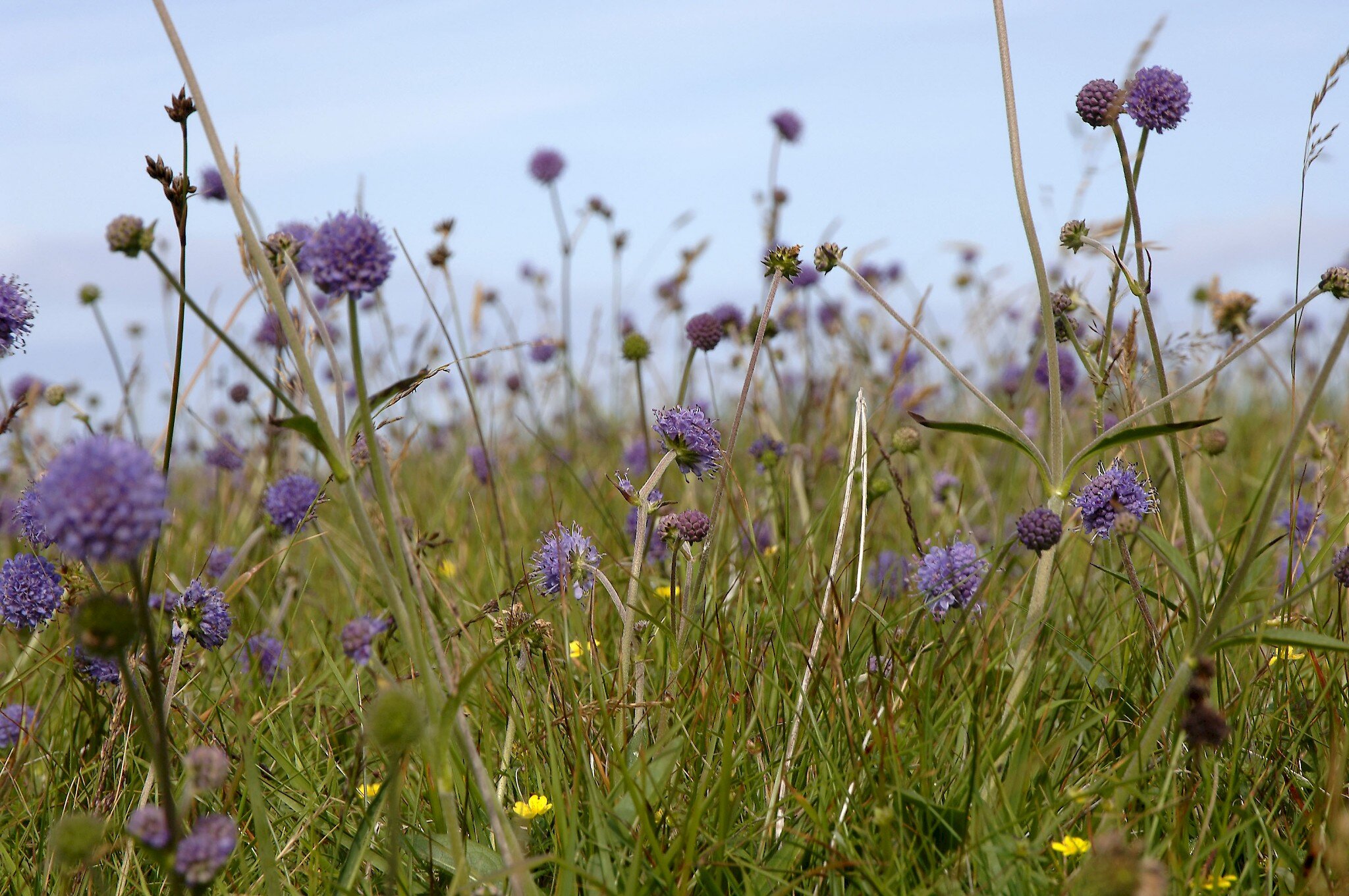
Fetlar is only partially constructed from ancient conglomerate, much of the underlying rock being serpentine. Heather tends to avoid growing on the serpentine, as can be seen near the Geo of Litlaland where it prefers a strip of more acid gabbro rock. This part of the walk route crosses deserted crofting lands, with many empty ruins standing among tumbled walls.
For those with a keen eye to antiquities, there are a number of prehistoric features close to these buildings, from which many of them must have taken stone for building. These buildings are well worth exploring and the determination and resilience of their builders and the relentless graft of those who dwelled here command great admiration. Like many parts of Shetland, there were the effects of bad seasons with poor crops, of a fishing disaster in the 1830s and the clearances of 1860 added to the poverty, leading to emigration.
You can cut back to the main road and return to Funzie from here, or continue round the coast to Aithbank. The beach here has wonderful coloured serpentine pebbles.