


Directions to start
Fair Isle is accessible by both ferry and inter-island flights. Planning and booking your travel in advance is essential.
A circular walk around the south of Fair Isle, the remotest of the UK’s permanently inhabited islands.
Fair Isle is accessible by both ferry and inter-island flights. Planning and booking your travel in advance is essential.
Fair Isle, the remotest of the UK’s permanently inhabited islands, lies 40km southwest of Sumburgh.
The walk is circular so can be started and ended anywhere.
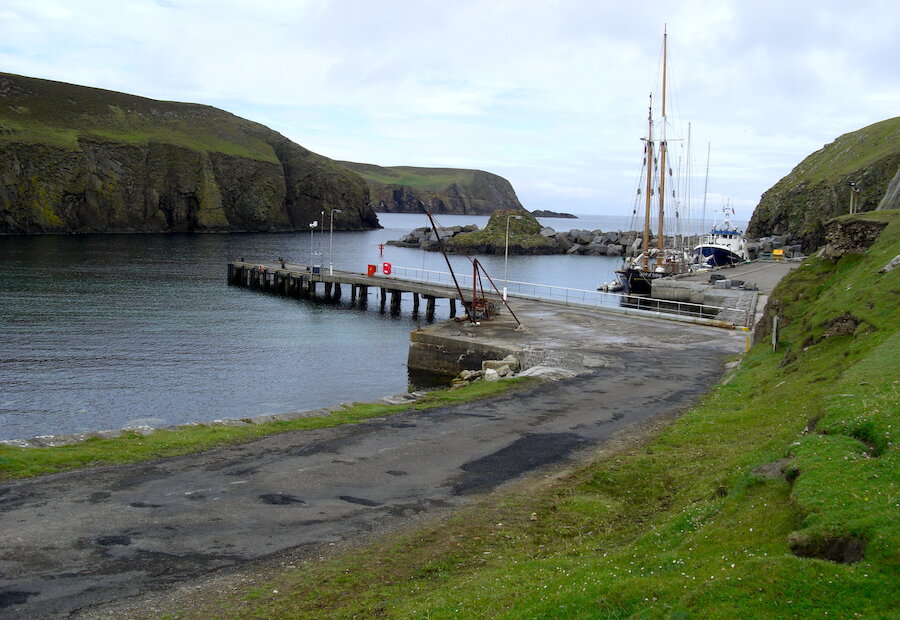
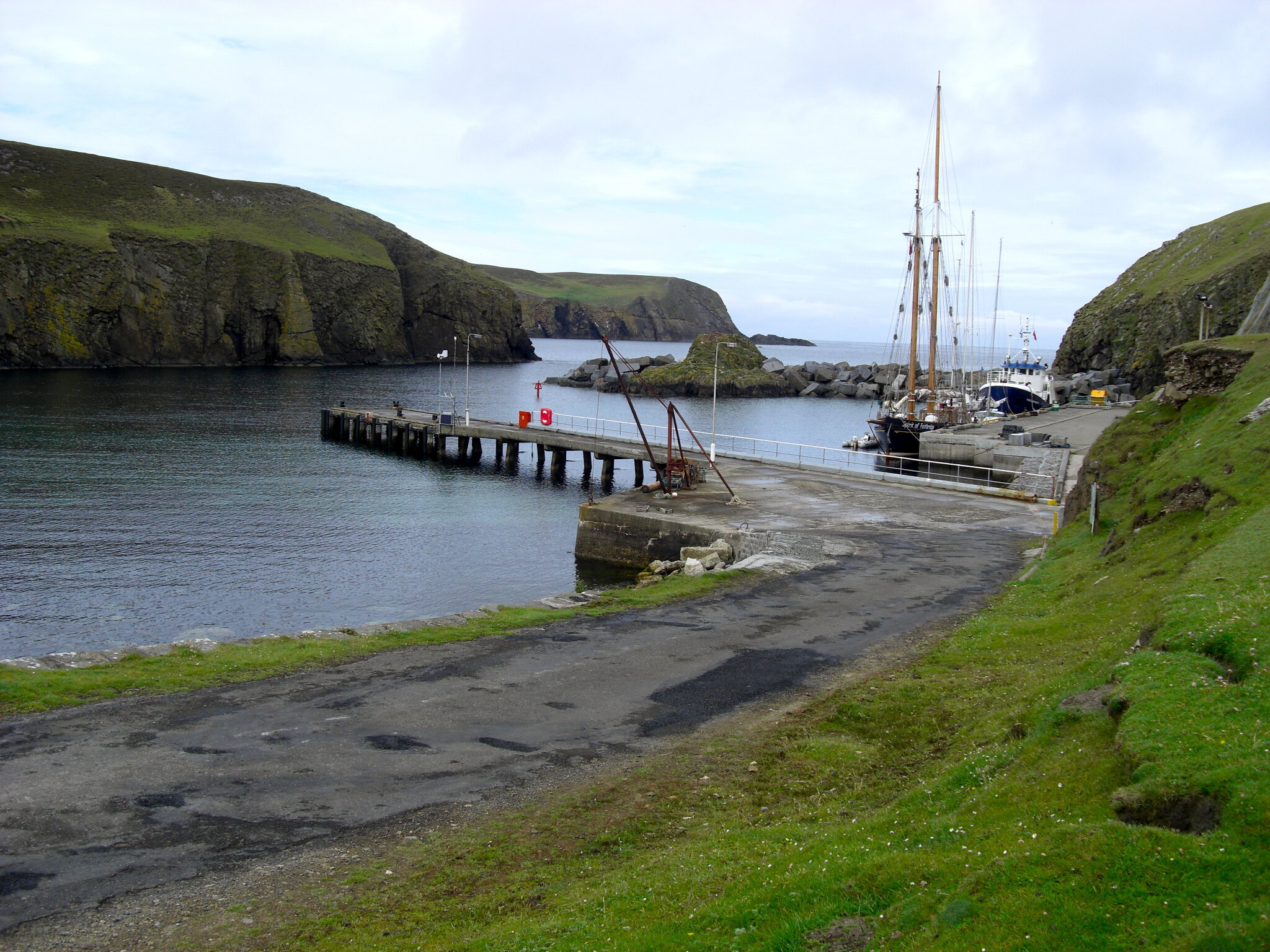
Leaving the North Haven - the harbour for the Fair Isle ferry Good Shepherd IV - follow the road past the Bird Observatory where, on the headland of Landberg opposite, are the remains of an Iron Age promontory fort.
Passing the wire safety barrier at the top of the hill, strike down towards a stone wall. Follow the wall by a large Heligoland Trap used by Observatory staff to trap birds to the small ravine of Finniquoy. Perched on the edge of a waterfall are the ruins of an old click-mill, once used to grind the grain from the bere.
Follow the cliff to the summit of Vaasetter for views of Sheep Rock, where the steeply sloping pasture was once home to a few hardy sheep. Do not be tempted to descend the deceptively easy-looking grassy slope to get a better view - it gets progressively steeper and ends in a vertical drop!
Along the coast from Vaaseter is Clavers Geo. In 1868 the German emigrant ship Lessing was wrecked here. In an amazing feat, yoals were lowered down the grassy slopes opposite, rowed through an arch and all 445 passengers and crew were rescued. For this daring act the community was given £100.
The next landmark is the rabbit-eroded end of the old ‘Feely Dike’, marking the division between crofting area and the larger moorland part of Fair Isle.
South round the Wick o’ Hesswalls, to the Tail o’ da Rippack for an excellent view across to Sheep Rock, and its sea caves. Then Swartz Geo and adjoining Stroms Heelor where in 1588 El Gran Grifon, a supply ship of the Spanish Armada, was wrecked.
The wind turbine is the larger of the two operated by the Fair Isle Electricity Company. When erected in 1982 the smaller one was first commercially-operated wind turbine in Europe.
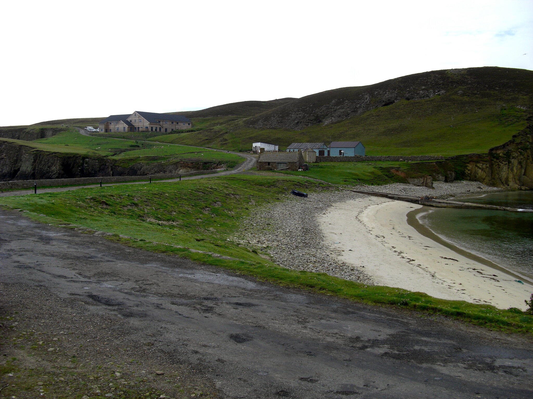
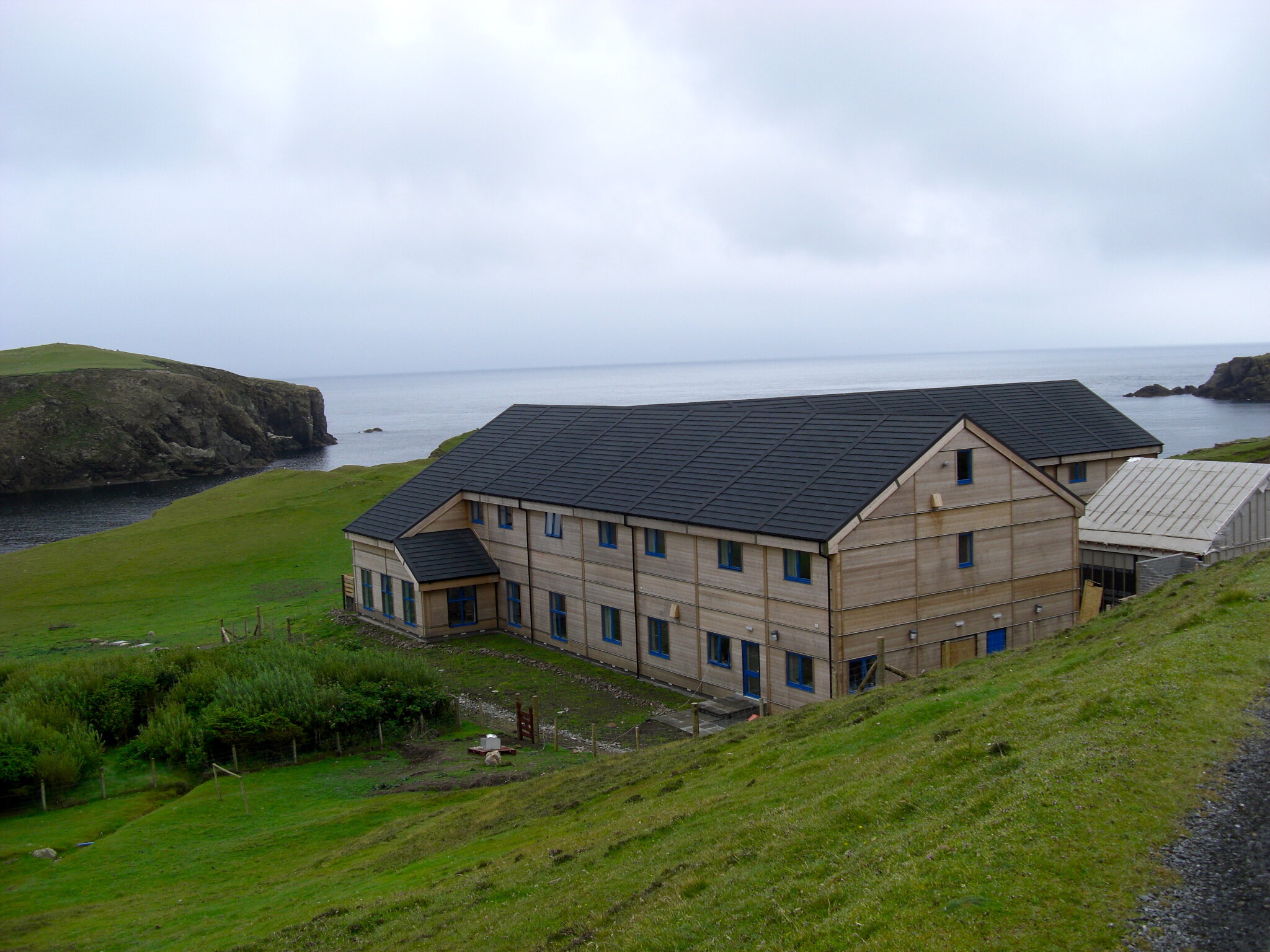
A walk around South Harbour reveals a small beach and the ‘noosts’ into which the yoals used to be placed during winter. Close by is the Puffin where in summer visiting National Trust for Scotland work parties stay.
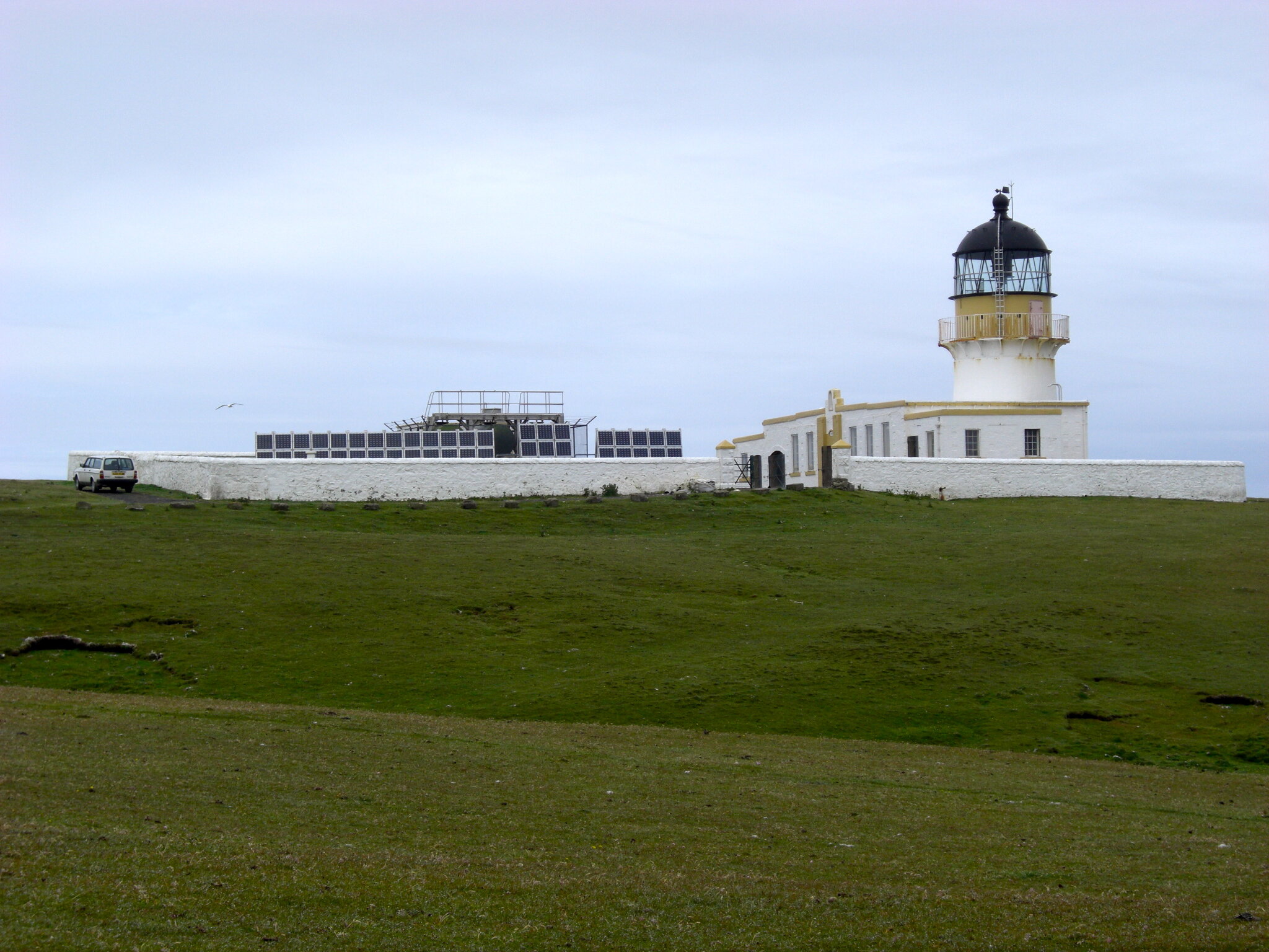
Along the road is the South Lighthouse, the last manned lighthouse in Scotland, before automation in 1998. There is a memorial plaque to those killed when the lighthouse was attacked in WW2.
Here the route turns north, crossing a wall by a stile, then aiming for the headland of Malcolm’s Head. Before the climb a short diversion to the west should offer a sight of one of the Isle’s puffin colonies.
Malcolm’s Head is an excellent vantage-point. Little wonder there was once a Napoleonic Watch-tower here, and in a less distant past, a Coastguard lookout.
A steep descent and then a relatively level walk along the base of the Reevas, one with the sea visible through the roof of a collapsed cave. From here it’s back to the road near Stackhoull Stores - a worthy port of call.
The walk back along the road is not without interest, notably a Burnt Mound near Setter, the largest such feature in Shetland. Shortly after crossing the cattle-grid, don’t miss the Information Board at the ‘Plantation’.