The nature of the National Cycle Network in Shetland means that there are often several different options (an east route and a west route) for cycling between two points, and this is very much the case between Lerwick and Brae.

Lerwick - Brae

Cycle Information

flagArea
Lerwick, Nesting, Lunnasting and Delting
info-circleRoute Type
Linear
cycle-distanceRoute Distance
54.5km / 33.9 miles
downloadGPX File
downloadKML File

The route presented here crosses from east to west through Tingwall and so largely takes the western route, however it is also possible to take the fast and often busy A970 direct to Brae through Voe or take the longer east route towards Vidlin and turn left at Laxo for Voe and on to Brae.

At 30 miles (48km), the direct east route is a little shorter and has less climbing, but does follow the fast and at times busy stretches of the A970; the main arterial route north from Lerwick towards Brae and Sullom Voe. To take the longer east route you can follow Lerwick-Vidlin to Laxo and then Vidlin-Brae from Laxo.

It is possible to do a hybrid of both routes by ‘The Third Way’ connecting the two via the B9075 at Weisdale and then a short section (heading south to the Nesting junction) on the A970. This is the longest of all the options, but combines the best of both east and west.

Leaving Lerwick from the north, passing the Northlink Ferry terminal, this route will take the busy A970 north to join the A971 just beyond the Veensgarth junction. (An alternative option would be to go south from Lerwick and over to Scalloway then taking the route through Tingwall).

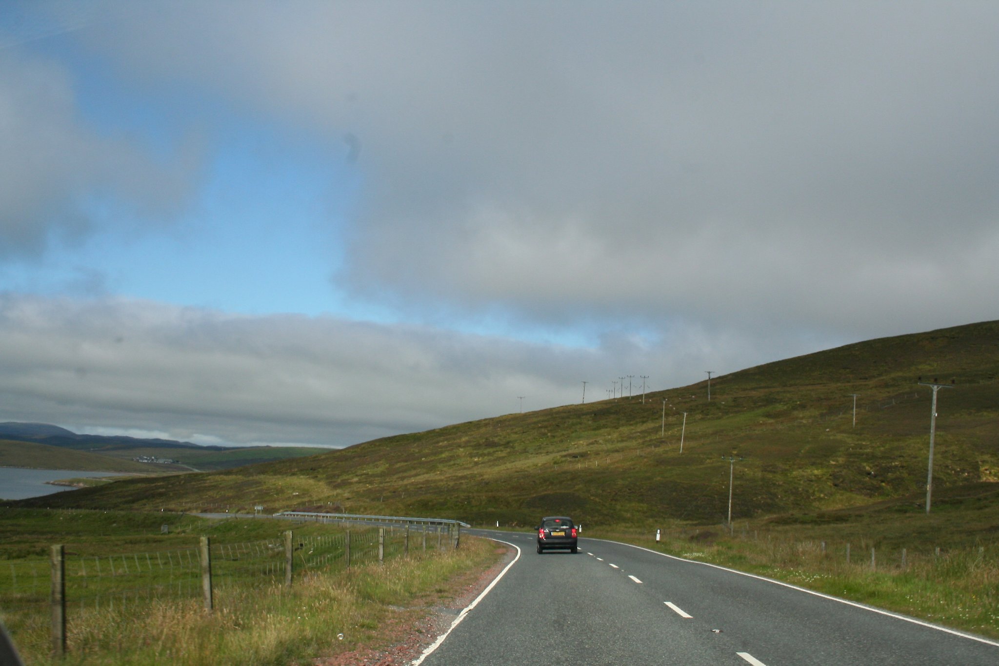
A970 north road out of Lerwick can be extemely busy in the morning and evening rush hour periods with commuter trafic mixed with HGVs and service busses. There is a long steep hill from the outskirts of Lerwick with a third crawler lane for slow traffic. From the top of the hill there is a steep descent to the sharp bend and a busy road junction followed by a long steep climb up the past a golf course. From the hill above the golf course the A970 descends past the Veensgarth junction.

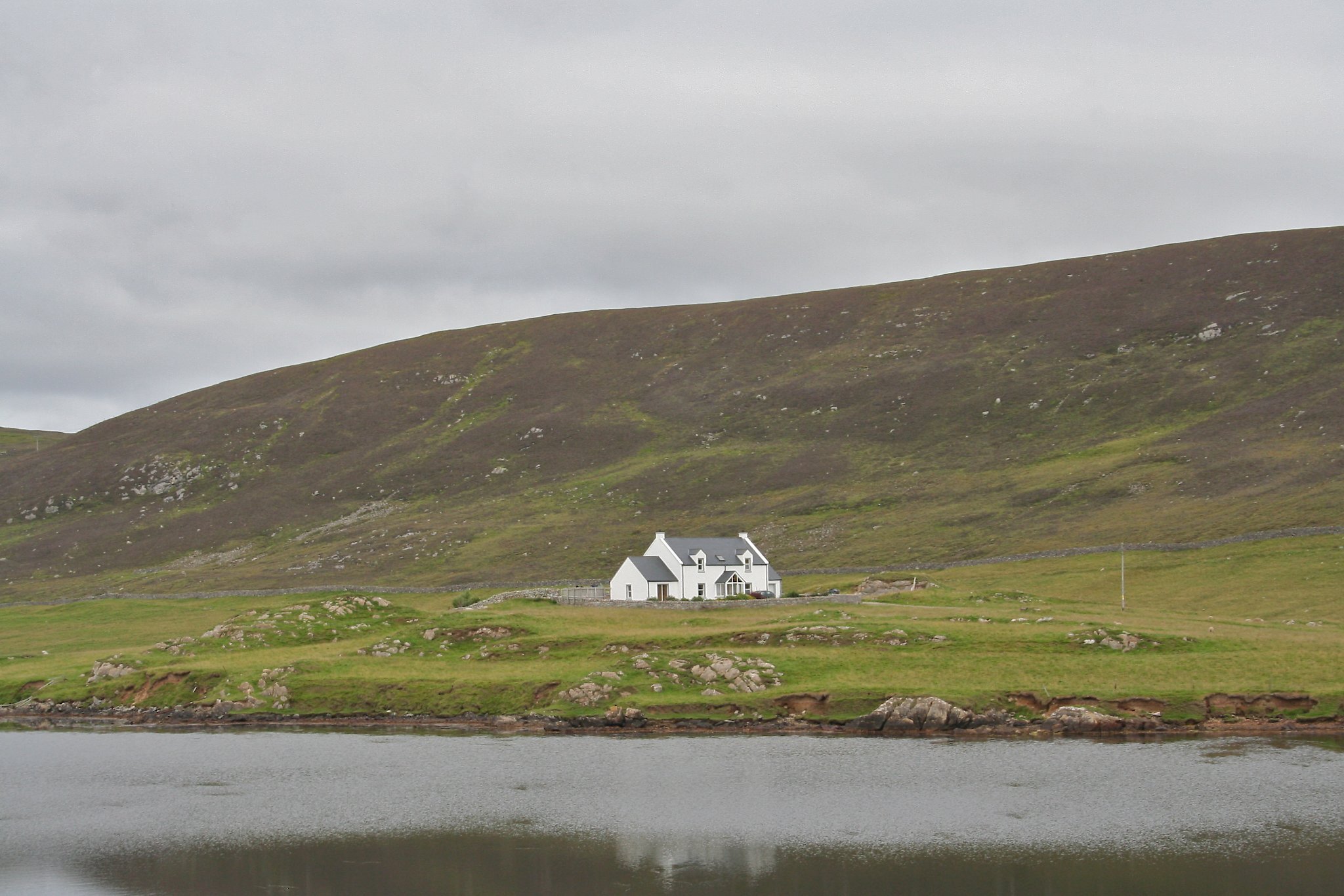
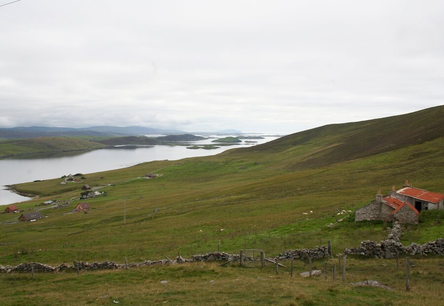
From where the route joins the A971 near Tingwall airstrip there is a long climb to the top of Wormadale, where the reward is some of the most magnificent views in Shetland. From the viewpoint the panaroma takes in the drowned valley of Whiteness Voe and the islands to the south then contrasts the green headland of Whiteness with the heather covered Strom Ness beyond. On a clear day the three peaks of Foula can be see some 25 miles (40km) to the west. Immediately below the viewpoint is the settlement of Nesbister and the destinctive building on the headland is Nesbister Böd, part of Shetland Amenity Trust’s network of camping böds (camping barns).

After a steep descent from Wormadale the road is never far from water; crossing the bridge at the Loch of Strom it passes through the settlements of Haggersta and Kalliness then loops around Weisdale Voe. The second significant long climb of the route ascends the Scord of Sound with stunning views over Kalliness and Weisdale Voe to the rolling green hills topped with heather beyond. From the viewpoint near the top there is another stunning view south across the ‘small isles’ that lie off Scalloway to the high peak of Fitful Head in the far distance.

The steep ride down towards Tresta opens up views of the rolling hills of the West Mainland that lies across The Firth. Tresta boasts tall trees, an uncommon sight in Shetland, and the fantastic Lea Gardens, regarded as Shetland’s Kew, is open to the public in the afternoons and is well worth a visit.

At Bixter there is a shop and toilets. From Bixter the route on the B9071 climbs again to give views to the west over Clousta and Aith Voe and the unspoilt wild moorland and hills to the east. The road becomes single-track beyond the settlement of Aith. About 1.5 miles (2.5km) further on the road crosses the Burn of Lunket where a singposted path follows the burn to the waterfall and is a gateway to some exhilarating hill-walking across the wonderful views beyond.

The climb from the Burn of Lunklet over West Hill of Burrafirth is a little bigger than those already passed and then the final climb from Gonfirth over Fielnadringa is bigger still. At 439 feet (134m) this is the highest point on the Cycle Shetland touring network. This long climb is compnsated for by some of the best wild upland scenery in Shetland.

It is a beautiful descent from the Loch of Gonfirth to the village of Lower Voe, nestled in its sheltered location at the head of Olna Firth where there is a bar and restaurant for the weary traveller. This is also the location of the Sail Loft which is one of Shetland Amenity Trust’s Camping Böds (camping barns).

From just above Lower Voe the A970 leading west to Brae is joined at the Loch of Voe. This road connects Brae and Sullom Voe Oil terminal with Lerwick so can often be busy with oil industry traffic, especially in the early morning or late afternoon when shifts change.

The activity of the oil industry, which has contributed to the shaping of modern Shetland, is well hidden so the district is still unspoiled with many amazing vistas. The scene from the main road viewpoint looking down on Lower Voe is one of Shetland’s ‘classic’ views and the interpretation panel tells local history and the village connection with Mount Everest.

The road from Voe to the larger and more modern village of Brae follows the shore of Olna Firth and Busta Voe for almost 6 miles (10km) passing Shetland’s newer industries of mussel and salmon farms. As well as public toilets, a garage and shop, a supermarket and a post office, cafes and fish and chip-shop, Brae also has a leisure centre and swimming pool.

Search our cycle routes