This route connects the north west of Mainland with Yell to the north, a journey split by the ferry jouney across Yell Sound.

Brae - Mid Yell

Cycle Information

flagArea
Nesting, Lunnasting and Delting, Yell
info-circleRoute Type
Linear
cycle-distanceRoute Distance
36km / 22.4 miles
downloadGPX File
downloadKML File

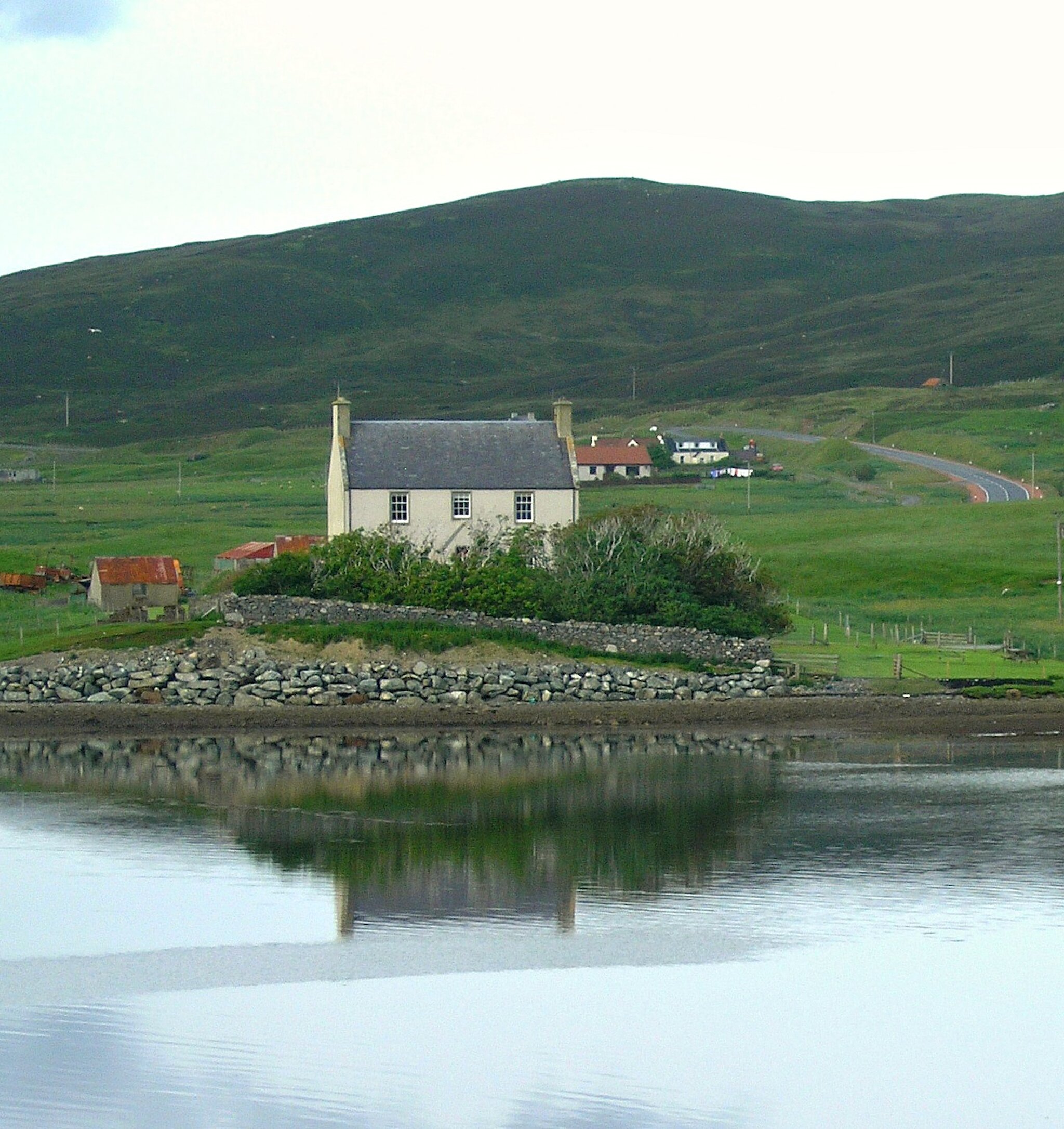
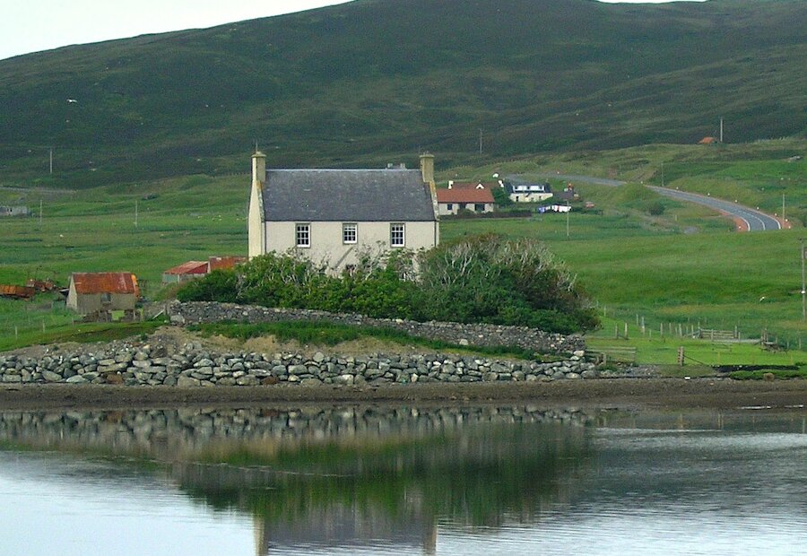
Taking the sometimes busy B8076 north-east from Brae you will soon come to the pretty inlet of Voxter Voe where Burn of Valayre follows a steep sided glacial gorge down to the sea. Nestled in the valley near its own woodland is the Voxter Outdoor Centre that offers accommodation for groups interested in exploring the environment or engaging in outdoor activities.

Beyond Voxter the 2 mile (3.5km) straight to Graven takes you past the renowned wartime airfield of Scatsta, now used by the oil industry. At the Houb of Scasta there is a viewpoint and interpretation panel for Sullom Voe Oil Terminal at the other side of the voe. In bank of the small burn just below the viewpoint there is a sand layer in the peat deposited by a tsunami that swept across the area about 7500 years ago.

Follow the B8076 east to to the road junction at the head of Firths Voe where it meets the eastern section of route 1. Fiths Voe is the landfall of two North Sea oil pipelines and the exit point for a gas pipeline to the Scottish Mainland. From here there is a shorter uphill climb around a steep and sharp bend then a slow descent to the ferry terminal at Toft.

Arriving in Ulsta on Yell the road splits just beyond the shop giving you a choice between east and west coast routes. The west coast route on the A968 is on the main road and more direct. We recommend the single-track B9081 to the east, following the signs to Burravoe then onward to Mid Yell. This route is approximately 3 miles (5km) longer but is a more leisurely ride, as the twists and turns of the narrow roads make for more interesyting cycling than than the wider and straighter A968. You might want to chose the the alternative west coast route on the return journey. The day ride around South Yell includes more details of the west coast route.

The local Museum and Exhibition Centre at Burravoe is housed in the Old Haa which dates from 1672 and includes a tearoom, gallery and craft shop. It houses a permanent display of material depicting the history of Yell and you can relax in its garden and admire a series of stone figures built in the style of Inuit 'inuksuit’ inspired by Geopark Shetland.

To the north of Burravoe the road climbs to give great all-round views from Lunna Ness in the south to the high cliffs of Fetlar in the north and west across the wild moorland and small lochs that covers much of Yell. The opportunity to explore the side roads is another good reason to take this route. The beautiful sandy beach at Gossabrough is almost a 1mile (1.5km) diversion off the road north and offers views over to Fetlar. A similar distance off-route will take you to a path leading to the shore at Otterswick. Here you can see the figurehead known as the White Wife (or Widden Wife) which came from the Bohus, a German training ship which was wrecked on the Ness of Queyon in 1924.

From Otterswick take the loop that passes North and South Aywick to Mid Yell. This final section is possibly the highlight of the day. The climb on the Hill of Vatsie offers truly spectacular views over the nearby Loch of Vatsetter and the more distant Fetlar, Hascosay and Unst.

Search our cycle routes