Baltasound - Fetlar

Cycle Information

flagArea
Unst, Fetlar
info-circleRoute Type
Circular
cycle-distanceRoute Distance
48km / 29.8 miles
downloadGPX File
downloadKML File

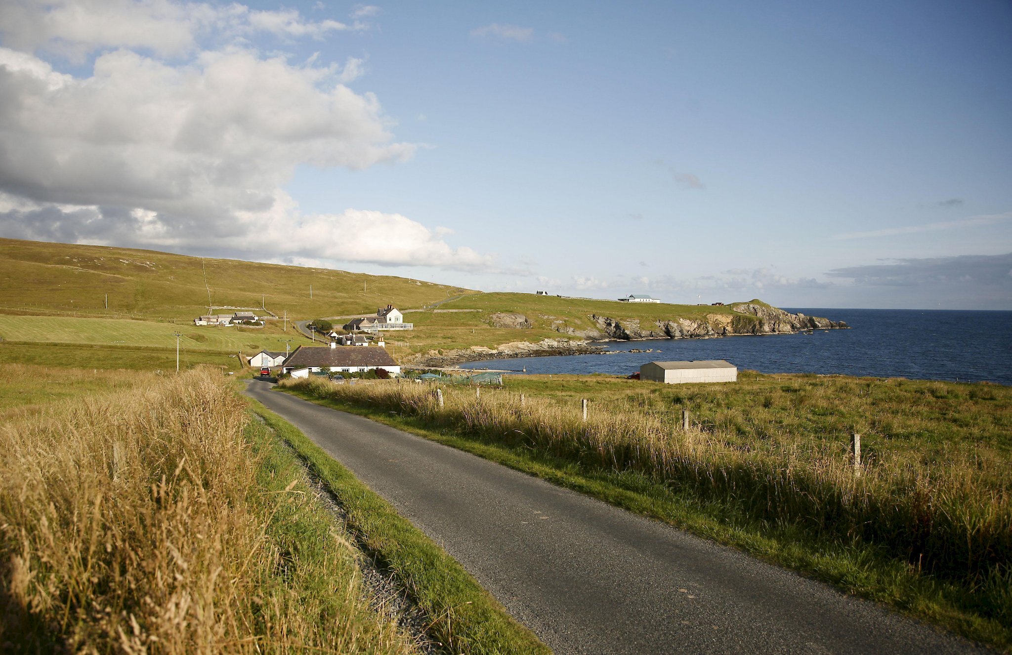
This route links Baltasound and the island of Fetlar. The route presented here runs from Baltasound and requires a round trip of some 15 miles (24km) to and from ferry at Belmont. If you have a vehicle you have the option of parking at Belmont, in which case this route just requires 15 miles (24km) of cycling on Fetlar itself. You should consult the ferry timetable for departure and return times before setting out and give yourself plenty of time to catch the ferry in both directions.

Take the A968 to the ferry terminal at Belmont. At Belmont, join the ferry for Hamars Ness in Fetlar. There are two ferries operating on the crossings, so please check with the ferry crew that you are boarding the correct service. The crossing takes 25 minutes.

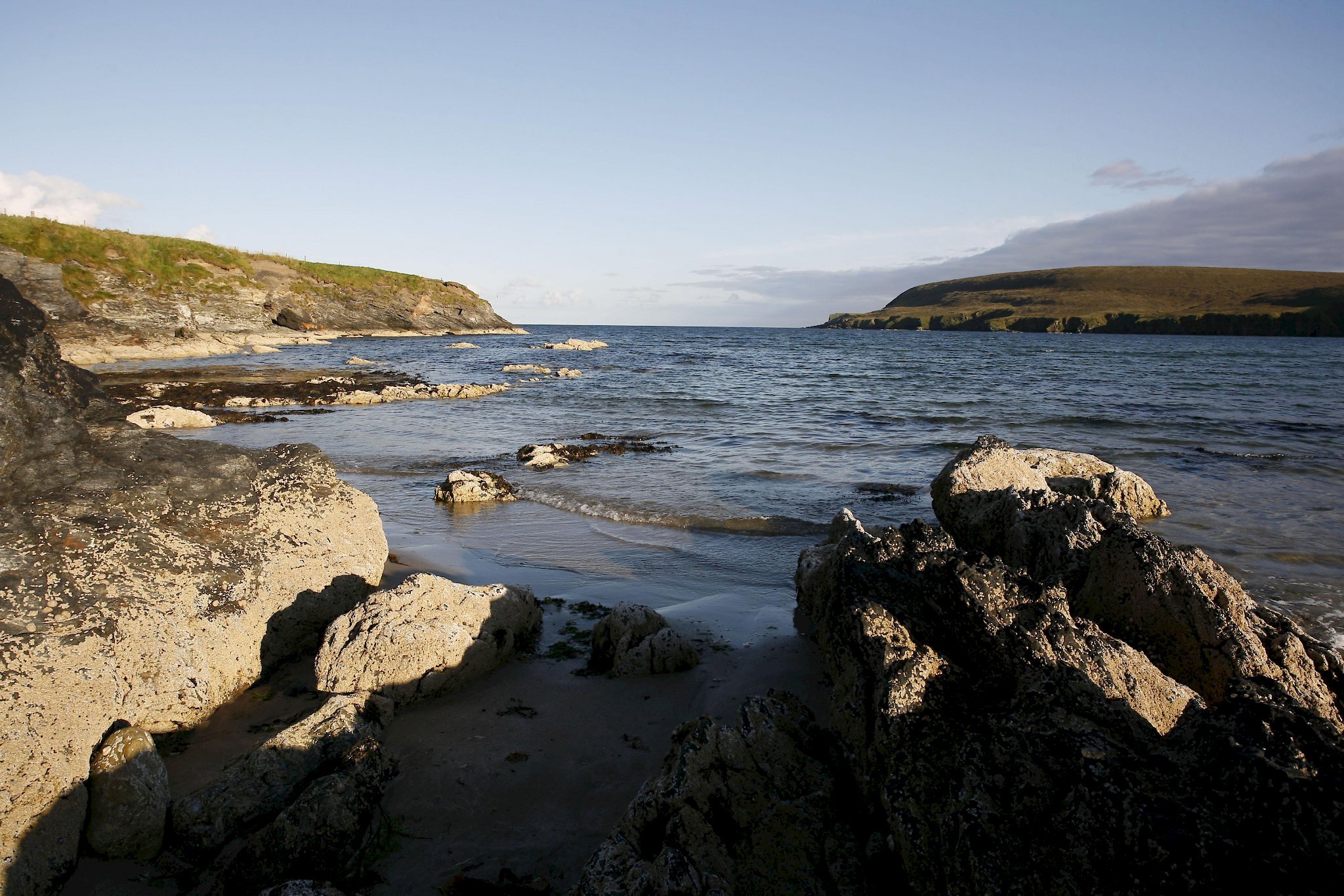
Throughout the summer months the moorland, hills and fertile soils of Fetlar are brought to life with the beautiful sights and sounds of the highest densities of breeding wading birds in Shetland. Good numbers of golden plover, dunlin, redshank, lapwing, curlew, snipe, oystercatcher, ringed plover and more notably whimbrel, can be seen.

From the ferry terminal take the single-track road south to join the B9088 at Brough Lodge. Brough Lodge was built around 1820 for the Nicolson family. The house is not currently accessible to the public; however a restoration project seeks to bring the building back to life. Close to the house, sitting prominently on the site of an Iron Age broch, is a rare Shetland example of a Georgian folly. This tower, built for Sir Arthur Nicolson, was used at one time as an astronomical observatory.

The route through Fetlar is reasonably straight with little in the way of steep climbs. About 1.5 miles (2.5km) from Brough Lodge take the loop road to the right to Tresta. Tresta has an easily accessible long white sand beach with stunning cliffs at its south end and the large freshwater loch of Papil Water behind.

From Tresta continue along the loop to rejoin the B9088 at Houbie. There is a shop and cafe at Houbie. The Fetlar Interpretive Centre and Museum offers displays and interactive multimedia on the island’s cultural history, folklore, archaeology, wildlife and geology. Visitors can listen to recordings of Fetlar stories and see film of the island dating back to the 1930s.

There is a short climb from Houbie and descent to the Wick of Aith which is the location of Aithbank Böd; one of Shetland Amenity Trust’s network of camping böds (camping barns). About 0.5 miles (1km) further on is the view point for the RSPB reserve at the Loch of Funzie; the breeding loch for the rare red-necked phalarope as well as red-throated diver. This is also the location of Geopark Shetland’s Fetlar Geowall; a three-dimensional interpretation of the rocks and unique geological history of the island.

The turning point of the tour is 1 mile (1.5km) further on at the road end at Funzie Bay. The beach and the low cliffs by the bay display rocks with an exceedingly unusual geological history. Here you can see in three dimensions once round boulders that have been stretched to several times their length by tectonic forces. This is also a starting point for a walk around Funzie Ness.

From Funzie the ride back to the ferry is 7.5 miles (12km).

Search our cycle routes