Directions to start
Bressay is accessible by inter-island ferry. Noss is accessible in summer months, by a small ferry across the Noss Sound.
Bressay is accessible by inter-island ferry. Noss is accessible in summer months, by a small ferry across the Noss Sound.
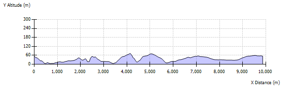
This is a circular walk from the car park for the Noss RSPB reserve to the remote abandoned settlement of Stobister and takes in magnificent cliff scenery as well as wild moorland. This walk gives ample opportunity to spot sea and moorland birds, wildfowl on the lochs, as well as seals and possibly passing whales.
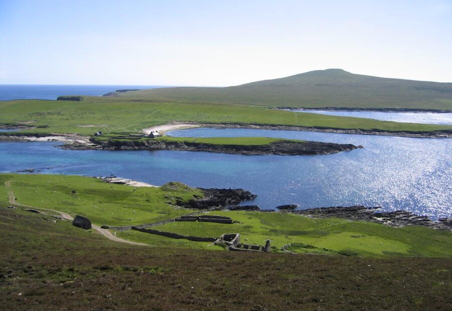
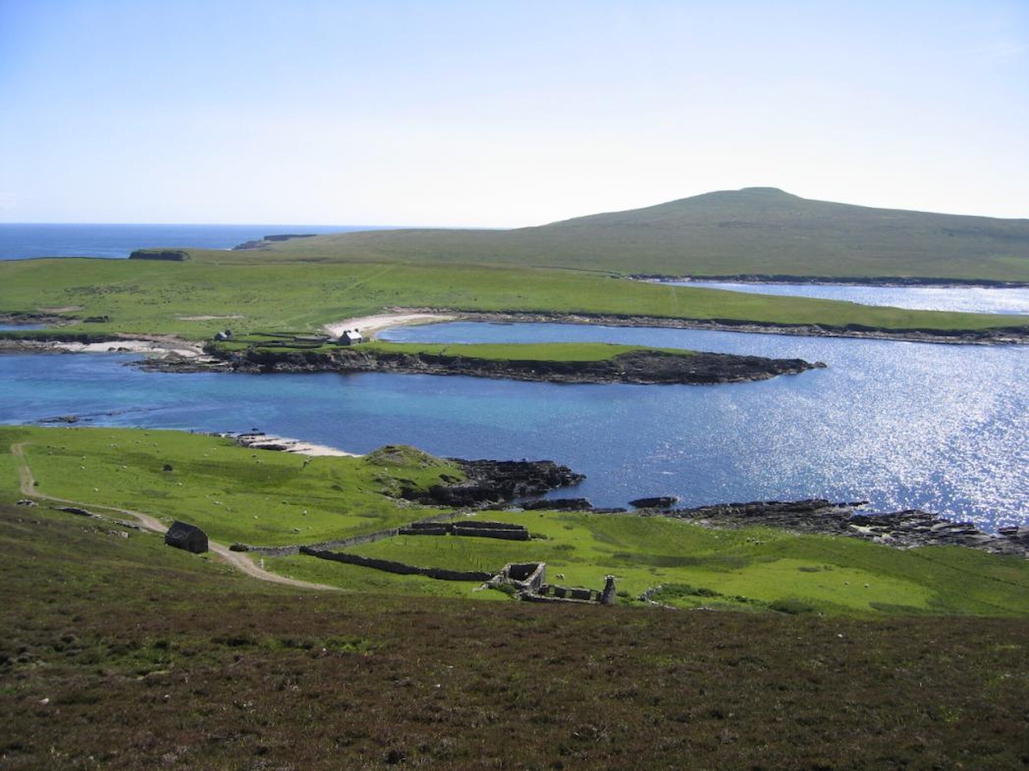
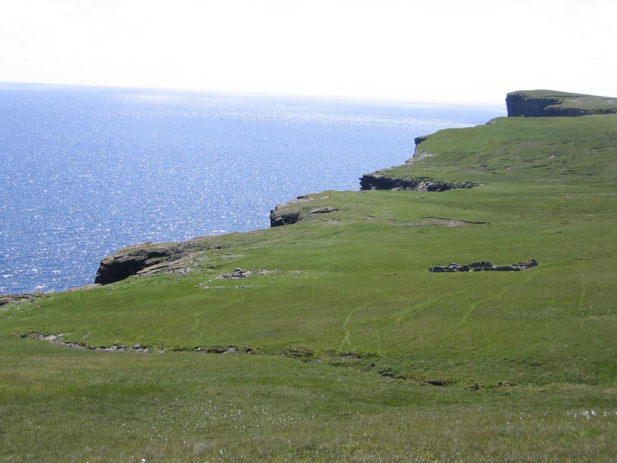
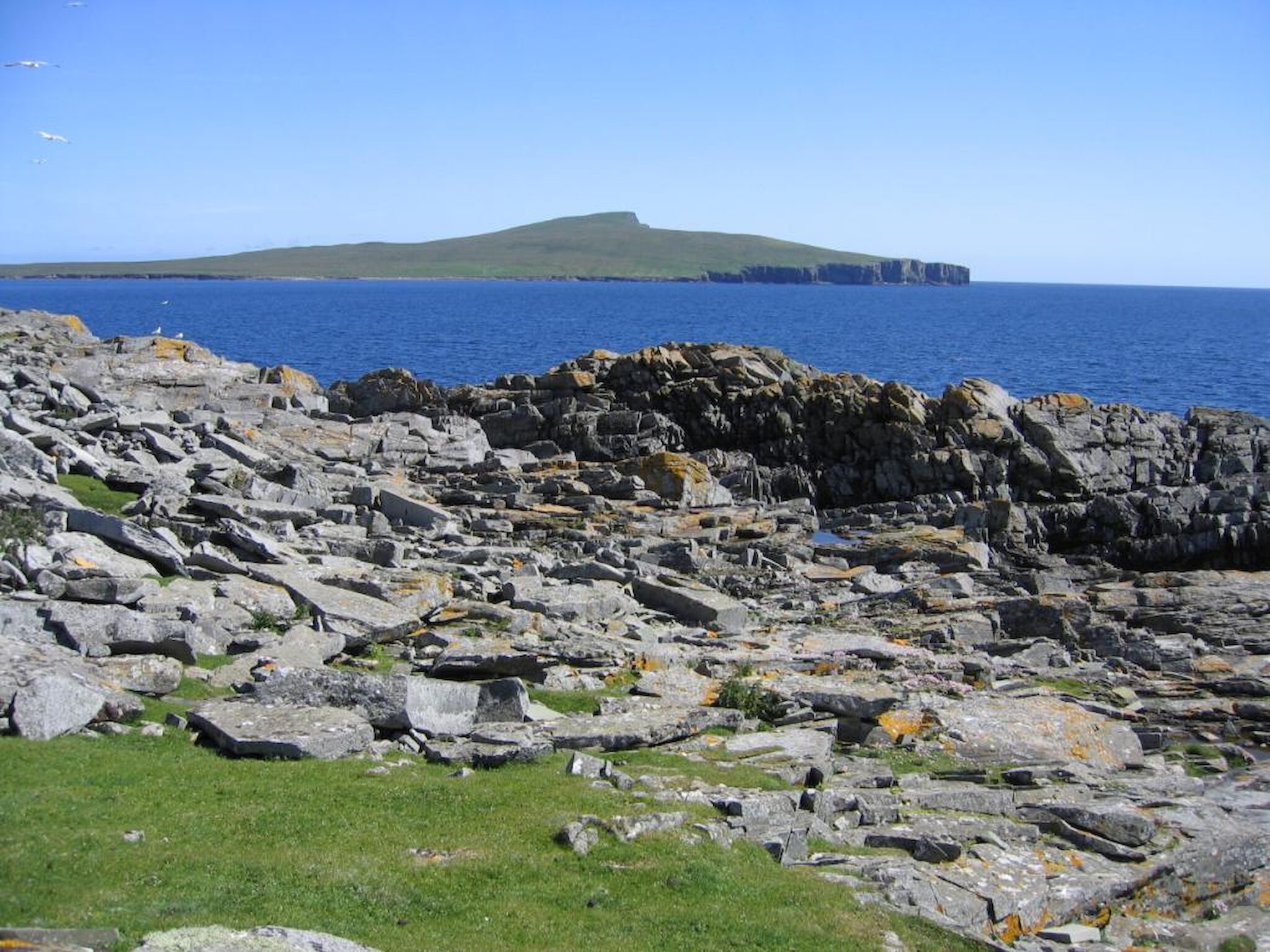
From the car park walk down past the remains of the abandoned crofts to the ruins of the Iron Age broch by the shore. From here follow the cliffs south to Muckle Hell.
The islands of Bressay and Noss are formed from river and lake sediments deposited during the Devonian (around 375 million years ago). Millions of years later, volcanic activity deep beneath the sediments forced gasses upward to fluidise and fracture some the sediments and this can be seen at Muckle Hell.
Also here is a high-level storm beach where large slabs of rock have been plied up far inland by giant waves.
Continue to follow the cliffs past the ruined ‘Norse’ water mill above Millburn Geo, carefully skirt the deep chasm of Seli Geo, then descend to the beach in the broad expanse of Grut Wick. Here there is a memorial cairn erected by the Bressay History Group in memory of Bill Deacon the Coastguard Rescue Helicopter winchman who lost his life in the rescue of the crew of the Green Lily wrecked here on 19th November 1997.
Leave Grut Wick to ascend Green Head for a view of the Stack o Stoura Clett with its three arches. Continue on up Mana Berg and down the other side to cross the burn to the abandoned settlement of North Stobister. This isolated settlement does not appear on any documents after 1500 AD and may not have been occupied since late medieval times, although there are local stories about the people who lived there.
One story is that the croft was permanently abandoned in haste after a SE’ly storm so violent that fish were thrown over the cliffs and fell down the chimney of the house.
From Stobister return to Green Head and Grut Wick and head north past the east side of the Loch of Sel Geo to the abandoned crofting toonship of Wadbister on south shore of the Loch of Grimsetter.
In summer Shetland’s annual ‘pirate’ visitor, the Bonxie (Great Skua), favours this area. The crofts of Grimsetter on the north shore and Gorie on the west shore were cleared in the 1870s to make a large sheep farm.
Leave Wadbister and cross the wall by the gate to meet the track that will take you past the croft of Gorie and onwards to the main road at the Loch of Brough. From here follow the road back to the start point.