Our route starts with the 5 minute crossing on the ferry from Lerwick to Maryfield on Bressay; the ferry generally runs at intervals of between 30-60 minutes.

Lerwick - Bressay and Noss

Cycle Information

flagArea
Lerwick, Bressay and Noss
info-circleRoute Type
Circular
cycle-distanceRoute Distance
24km / 14.9 miles
downloadGPX File
downloadKML File

Roads on Bressay don’t loop around the island and are mostly single-track; because there are no through roads the tour will often require returning to, or near to, the start point on the island.

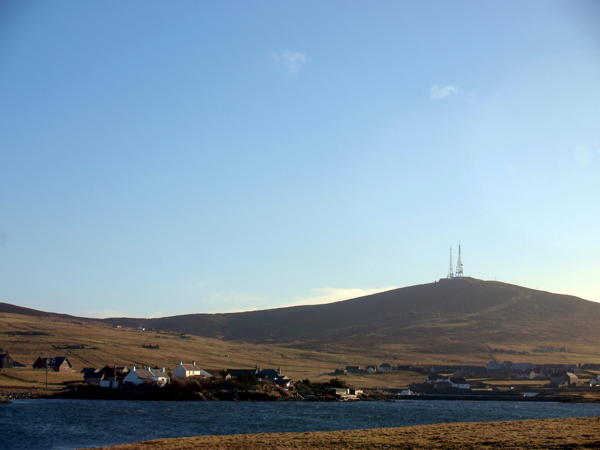
The excellent Bressay Heritage Centre close to the ferry terminal has exhibitions on aspects of the island’s history, archaeology and biodiversity and is a good start point for the day. From here the first route to the north coast of Bressay follows the upper road (the lower road is along the west coast to Heogan). The upper road passes through crofting township of Crueton on a 2.5 mile (4km) run to the small crofting communities of Beosetter and Gunnista. With moorland and grassland close by to the Lochs of Beosetter to the west, and Aiths Voe to the east, this is a prime bird watching area.

For the next route return south on the upper road to the road junction just past the school then turn left. From here head east for 0.75 miles (1.25km) to where the road forks. The fork to the left will take the route the same distance again to where the road ends at Cullingsburgh. From the tarmac turning-head just past Setter you can take a walk along the shore past the 19th Century fishing booth to the ruined township of Cullingsburgh. Next to the settlement lies the burial ground of Cullingsburgh; within the walled enclosure can be found the ruins of the 12th century pre-Reformation chapel of St Mary's; the only cruciform (cross shaped) chapel in Shetland.

Opting for the right hand fork will take you 1.5 miles (2.5km) to the car park over looking Noss Sound. Here you park the bike and walk down the track to the boat departure point for Noss. The island is managed by Nature Scot and staffed by seasonal wardens who provide a weather-dependant summer boat service. The island is open from 10am to 5pm (except Mondays and Thursdays) from late May to the end of August. A red flag is flown on the island if it is closed. Visitors should wait at the sign on the shore at Noss Sound for collection by the boat.

A walk around the perimeter of Noss will take at least three hours. The towering sandstone cliffs on the east side of the island provide ideal nest sites for over 8000 pairs of gannets, 45 000 pairs of guillemots and smaller numbers of kittiwake, shag, puffin and razorbill. The moorland interior supports about 400 pairs of great skuas and a few pairs of arctic skua.

An alternative option if the island is closed is to do the Brough to Stobister Circular walk that starts at the car park.

Back at the school junction the south route to Kirkabister Ness lighthouse is just over 2 miles (3.5km). The lighthouse was constructed in 1858 by the Stevenson brothers; the light was replaced in 2012 by a modern harbour light but with the same flashing pattern as the original. Some of the buildings have been converted into self-catering accommodation. There are fine views across the Sound of Bressay to the sheltered bays south of Lerwick. Just below the lighthouse there is a picturesque natural arch.

Search our cycle routes