• Home
  • Blog
  • A walk (or cycle) to Burland Broch
By Laurie GoodladJuly 29th 2020
Laurie Goodlad

There's no shortage of places to visit during the summer months in Shetland. Here Laurie Goodlad takes a trip to Burland Broch in Sandwick.

Distance: 3.5 miles (4.8 km)

Sometimes a quick after-dinner hike is just what’s needed to blow away the cobwebs after a dull and rainy day. Some of my favourite summer nights are the unexpected ones. The ones where, after a day of prolonged rain, the clouds part and the sun comes out to kiss the landscape goodnight – reminding us that she’s still here.

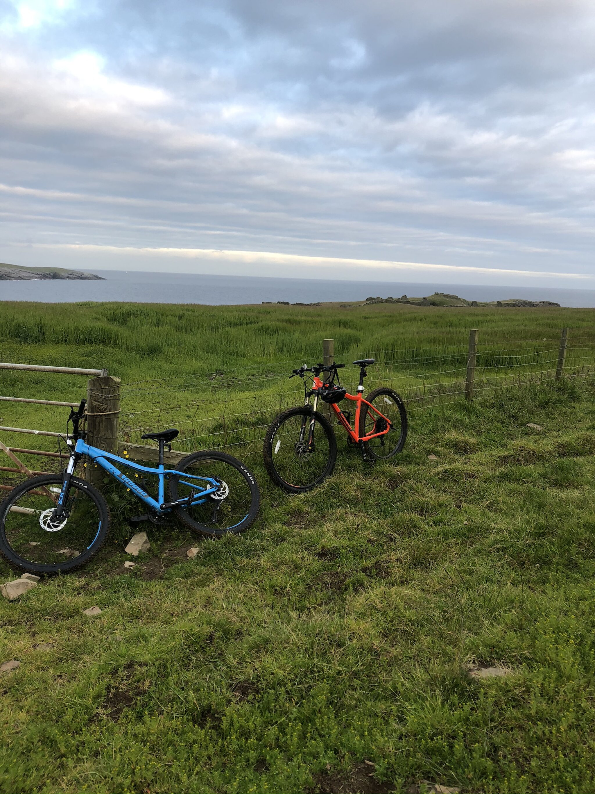
This happened recently, and we took full of advantage of the emerging sun, piled the bikes into the van, filled a thermos and headed to Shetland’s South Mainland for an evening dose of vitamin sea.

Parking at Sandsayre Pier where passengers wait for the Mousa Ferry, we followed the main road past Sandlodge towards Sandwick. Just behind Sandlodge, a rough track veers up the hill. Halfway up the track, there’s a modern house on the right, which the track runs behind.

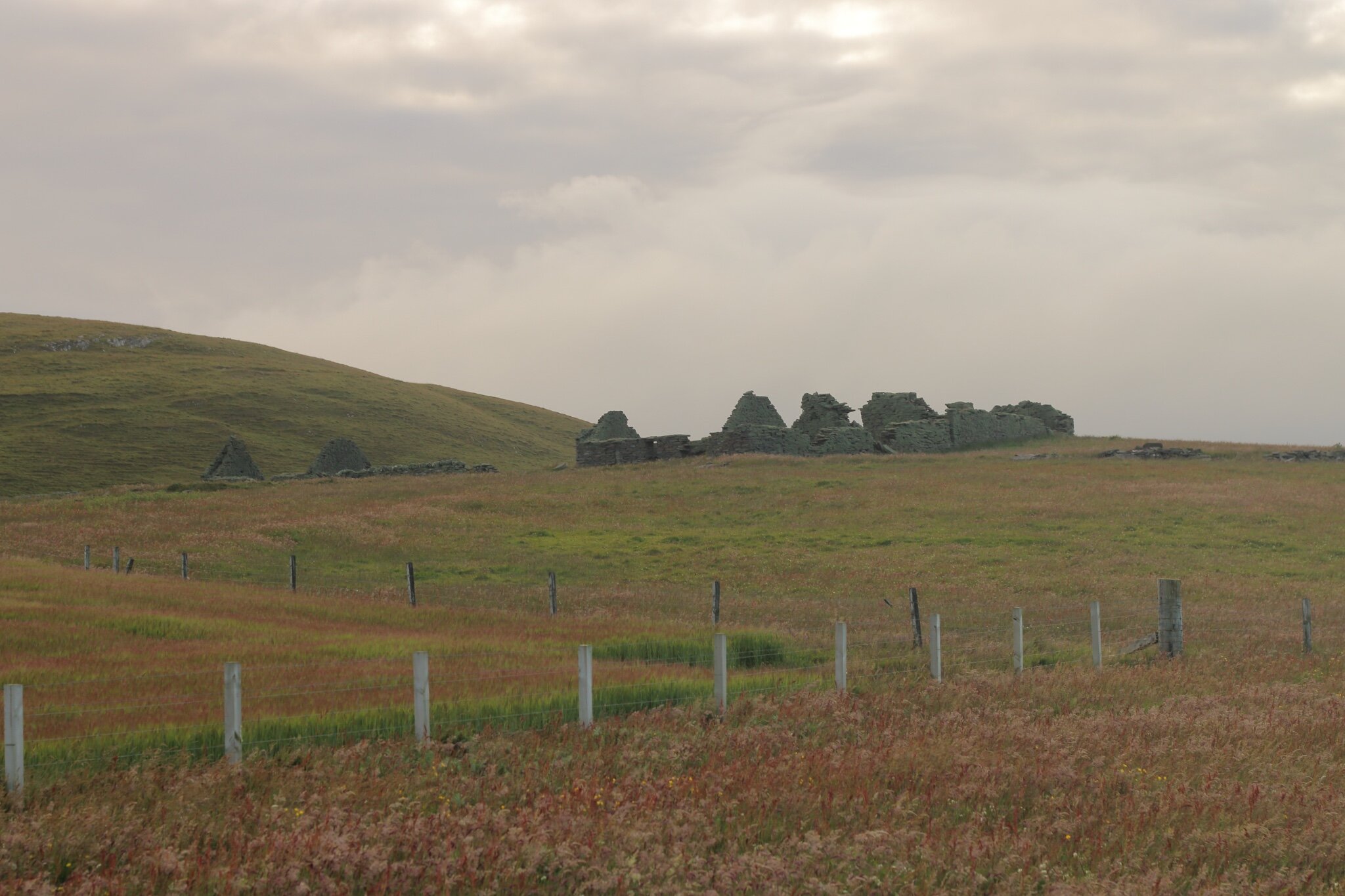
Sandlodge was built as the laird’s house (landlord) in the early 1600s by the Sinclairs of Quendale. It was later bought by the Bruce family who held the Sumburgh Estate – comprising a large proportion of the South Mainland – Sandlodge was added to their property and land portfolio in the 1750s. The house has had several extensions over the years and was also the site of an attempt at copper mining.

Once you reach the dirt track, it’s an easy cycle (or walk) to the end of the road. The trail runs south following the coast towards the headland where the broch sits. The route takes you almost to the broch, but the last ¼ mile or so is done on foot, avoiding cultivated fields. We walked east from the end of the path and followed the coast towards the broch, avoiding the barley crops that were shimmering in the low evening sun.

Please note that the fields approaching the broch are active farmland and more-often-than-not are used for grazing cattle. Caution should be taken, gates left as they’re found, and dogs are not allowed on the land.

Burland Settlement

Before reaching the broch, you’ll pass a cluster of ruined buildings, comprising a crofting settlement where, in 1851, 43 people lived. The crops of barley that are still grown here today are a testament to the quality of the soil. But, the onward stomp of modernity – and the effects of clearances – unfortunately, carried Burland with it and in 1893 only one woman remained in the once-thriving community. Kitty Smith was the last person to live here.

Burland Broch

Burland broch sits opposite Mousa Broch on the western side of the Mousa Sound channel which runs between the Mainland and the now uninhabited island of Mousa to the east. The broch itself is a shadow of its former self. At one time it is believed that it would have stood at the same height as the Mousa Broch, sharing the same footprint, the two brochs would have been an imposing sight to anyone approaching the channel from the south.

Over the years the broch has been stripped apart, although a partial collapse is thought to be partially responsible, the neighbouring houses of Burland are believed to have been built using stone from the broch. Why go to the trouble of quarrying stone when there’s a plentiful – and redundant – supply next door.

This is a typical story across the Northern Isles and West Coast of Scotland where brochs once stood proud. Subsequent settlement meant that older buildings were reused and repurposed into new ones using the available stone from these impressive round towers – and anything else that may have come before!

There are thought to have once been about 120 brochs in Shetland – most lie in ruin (and Mousa, across the sound, is the best example in the world).

But what is a broch? A broch, in simple terms, is a round, stone structure which is constructed using two drystone walls – an inner and outer – with a staircase built between the two to reach the top. They date to about 2,000 years ago, the mid-Iron Age, and are unique to the north and west of Scotland. There are thought to have once been about 120 brochs in Shetland – most lie in ruin (and Mousa, across the sound, is the best example in the world).

Archaeologists still dispute what they were used for – whether they were defensive or offensive; or were they storehouses, or high status’ manor houses’ for local chieftains? We don’t know. All that we can be sure of is that they are shrouded in mystery, and carry so much intrigue about past societies and how people lived and worked here in Shetland.

Whatever the use of the brochs, these are impressive structures that raise more questions than they answer. The walk itself is an enjoyable way to spend an evening. At the broch we sat and enjoyed a cup of tea, watching two small inshore fishing boats jigging for mackerel as the terns and oystercatchers chirped overhead, warning us that we were in their territory.

Have you Rediscovered Shetland this summer? If so, we'd love to hear all about it and see your photos. Tag us on social media using the hashtag #RediscoverShetland