Indeed, there are interesting walks in the town itself, for example on the waterfront. But around the fringes, there are several favourite routes and all of them offer great views. The peninsula known as the Knab, a fifteen-minute stroll south from the town centre, is one of them. Another is the climb up the old Staney Hill Road, often combined with the easy path around the Clickimin Loch and perhaps a visit to the Broch that sits on its southern shore.
Walkers in Shetland are spoilt for choice. Those of us who live in the country can easily set out on an inspiring trek from our garden gate, but it’s really no more difficult for folk living in Lerwick, Scalloway or Brae. The opportunities are never more than a few minutes away from homes or workplaces.
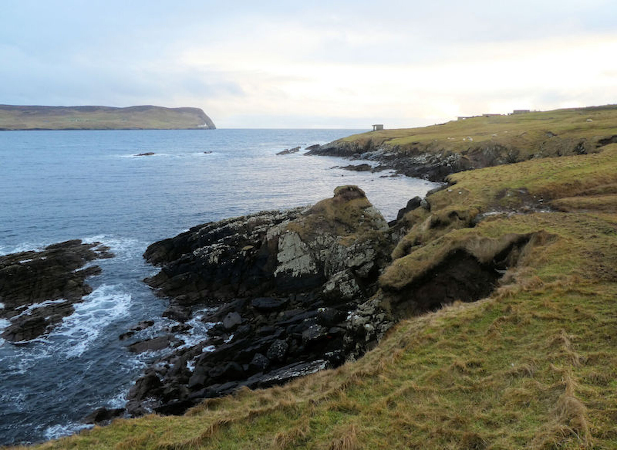
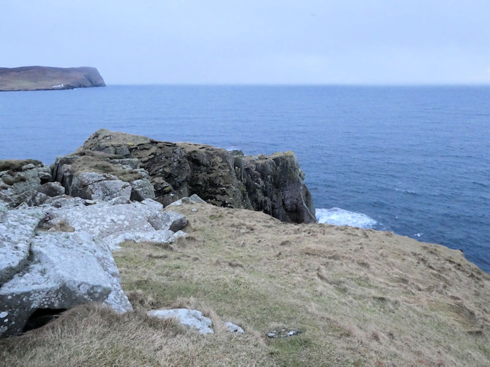
On one day recently, a friend and I decided to explore the Ness of Sound, another promontory south of the town. Unlike the Knab route, there are no constructed paths here, and some sections are steep, so you do need suitable footwear. Bear in mind, too, that any coastal walk demands care and that mixing grassy slopes above cliffs with wet weather is potentially disastrous.
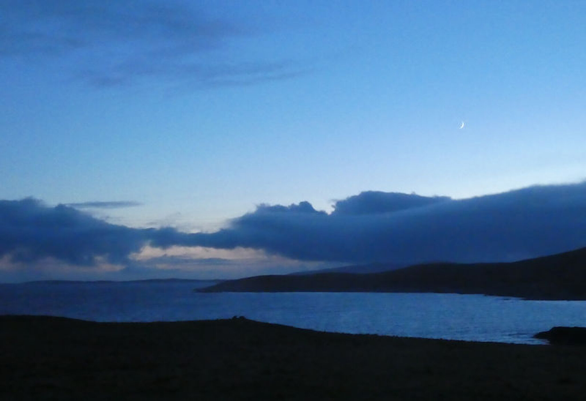
Conditions were fine for us: a low sun gradually sinking among afternoon clouds, a gentle southerly breeze and just one light shower, which passed through after we’d left the steeper sections of the route.
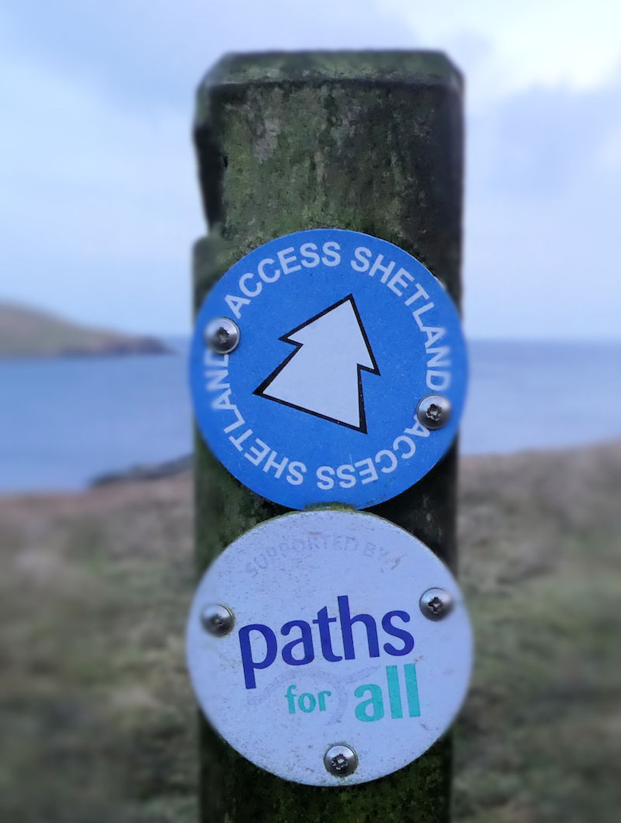
One of the joys of the outdoors in Shetland – and indeed in Scotland – is that you are free to wander on most land, provide that you accept the rules set out in the Scottish Outdoor Access Code. However, there are also long-established rights of way and, more recently, local authorities have created access routes and core paths catering for the more popular outings. These are waymarked and will often be provided with stiles, or perhaps short sections of boardwalk where the route crosses a stream or boggy ground.
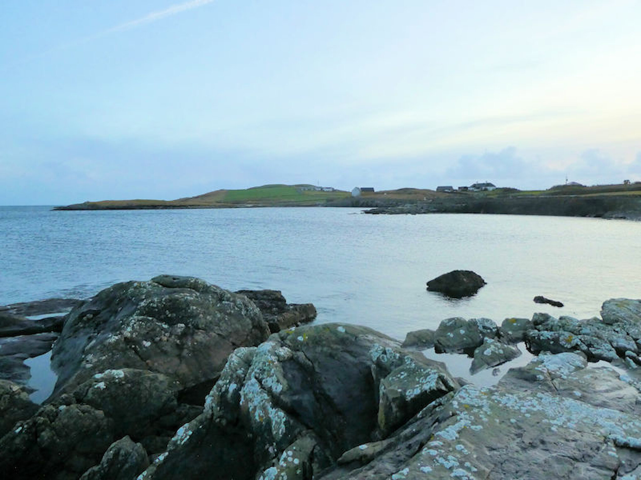
Around the Ness of Sound, we were following one of the access routes in the Shetland Islands Council’s Core Paths Plan. Arriving by car, there are several possible places to park, but we chose an area just south of a small loch on what’s known as the Sea Road. If we’d walked all the way from the town, we’d have had views of a rocky shoreline on which seals are often seen, just across the road from a supermarket.
Otters may also put in an appearance here, indeed I’ve seen one practically at my feet when having a meal at the waterside Fjara café.
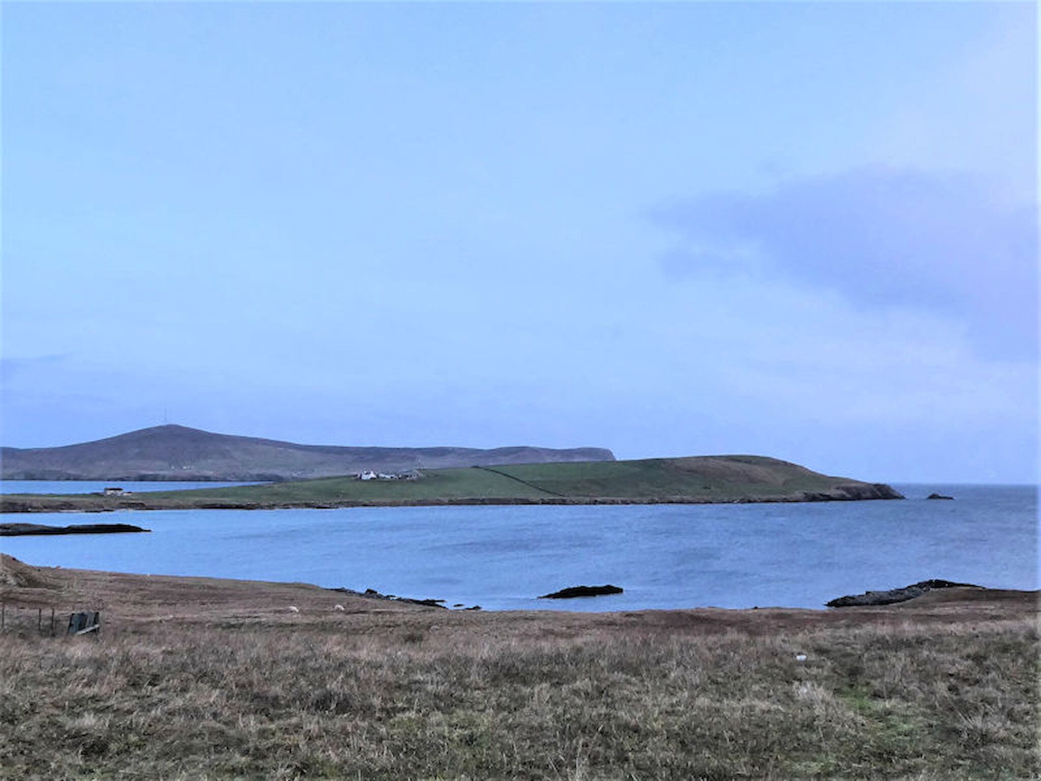
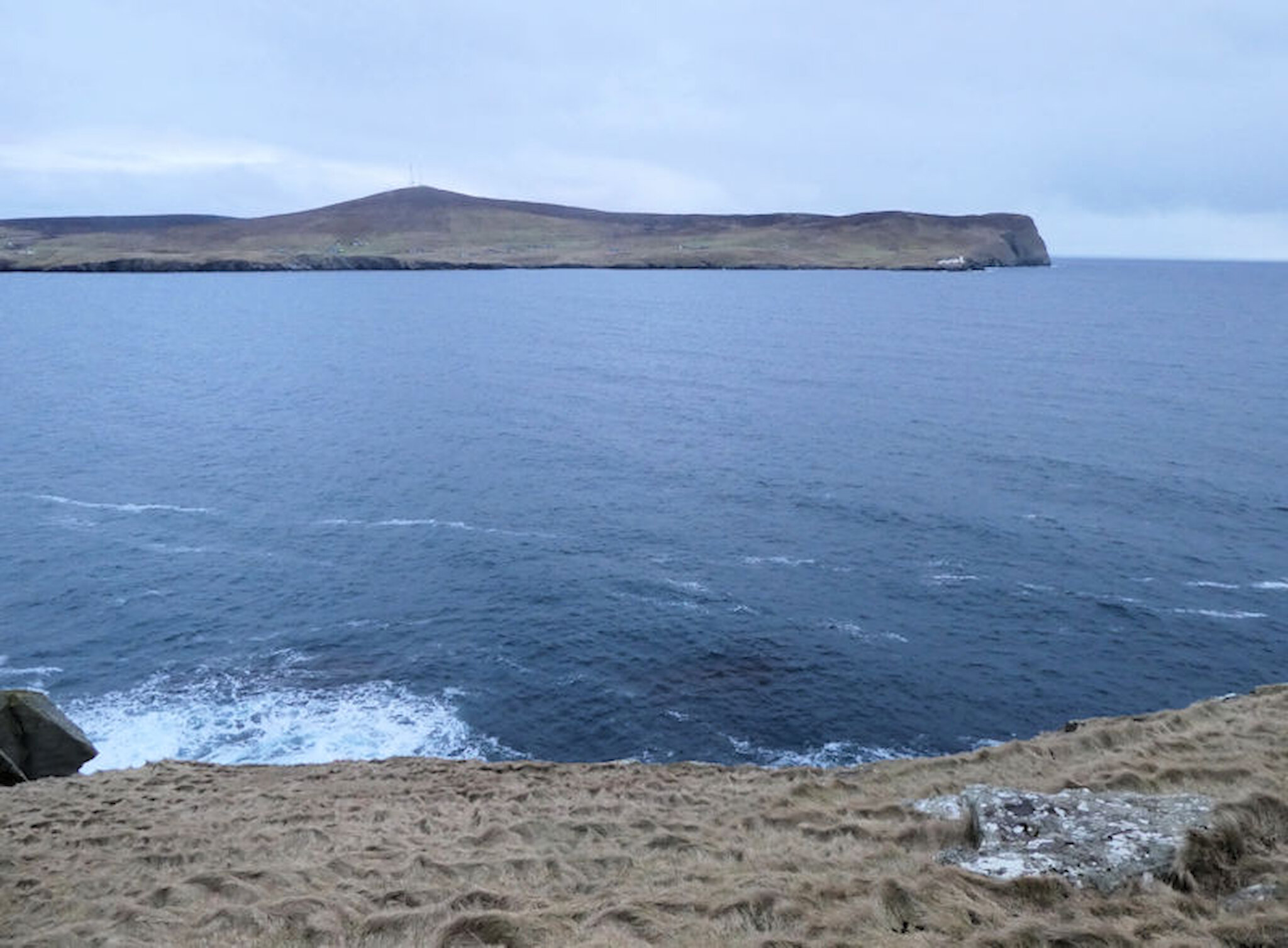
We took a clockwise route around the Ness of Sound, and that meant that we set out with a great view across to the island of Bressay – which shelters Lerwick’s harbour – and its lighthouse. We’d only covered a few hundred metres when we came to the most prominent landward feature of the entire route, the military remains dating from the Second World War.
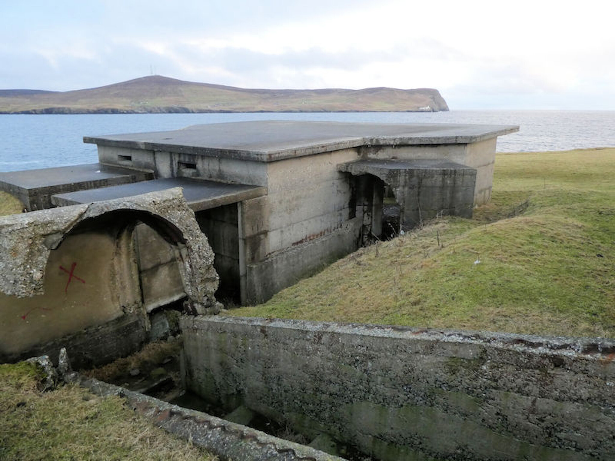
Shetland was of vital strategic importance during wartime and there were coastal defences at a number of locations. Lerwick was heavily fortified, and not only by sea: tank traps intended to disrupt any advance following an invasion elsewhere can still be seen, for example near the Old North Road.
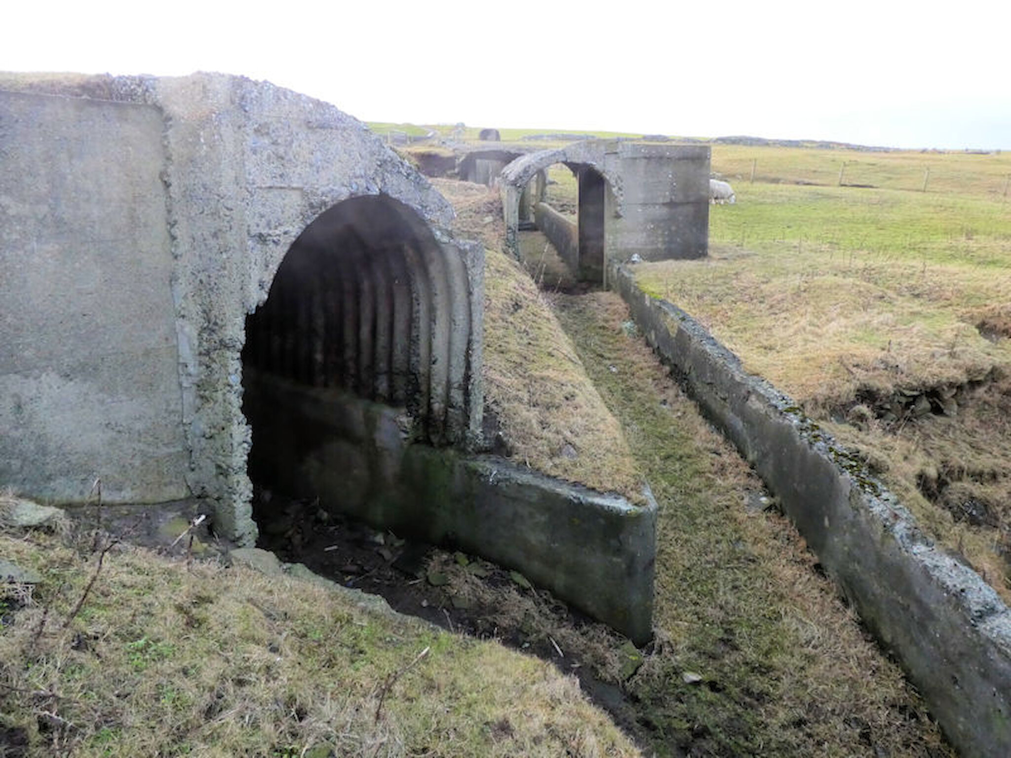
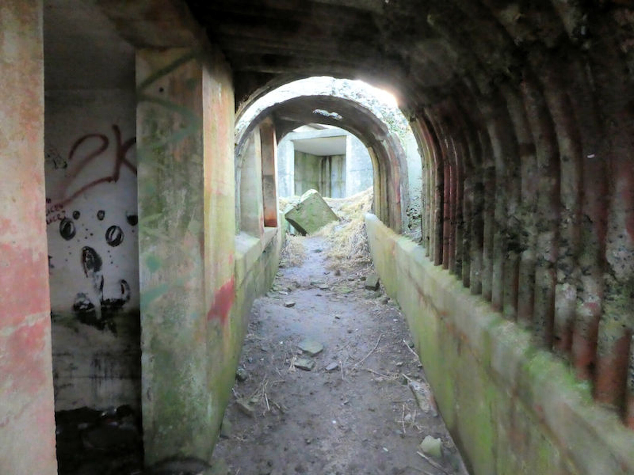
These corridors, their roofs moulded onto sheets of corrugated iron, linked the various parts of the battery. Alastair Hamilton
Here on the Ness of Sound, there is a substantial battery that included two gun emplacements, a magazine, an engine room, an observation post and three searchlight emplacements. Two guns, initially 4 inch but later 6 inch, were installed in 1940. Other equipment was added later.
These facilities were linked by camouflaged, roofed corridors dug into the hillside. There were also some accommodation huts, long since removed.
Today, of course, the buildings are derelict but – being mostly constructed of reinforced concrete – they will no doubt stand for a very long time. Only the corridors have deteriorated to any extent.
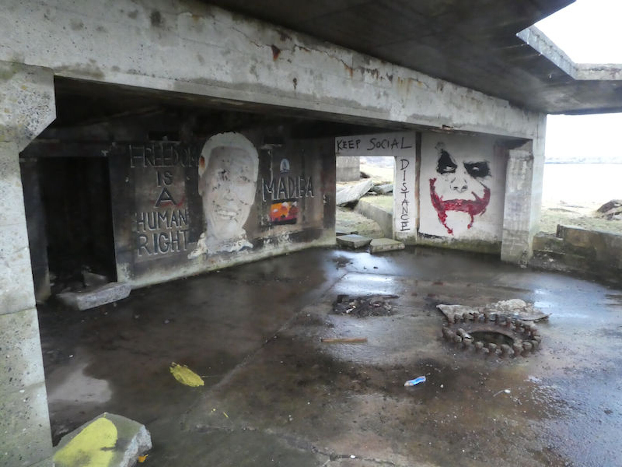
This is one of very few places in Shetland where graffiti artists have deployed their skills, but rather than the gangland symbolism that you might find in many towns and cities, our exponents have created a mural that includes a portrait of Nelson Mandela (‘Madiba’) and - at the height of the Covid-19 pandemic - someone added a message encouraging social distancing!!
Having taken in all of this – and wondered what daily life must have been like for those stationed here in the 1940s – we moved south again, towards the point of the ness, with its cliffs.
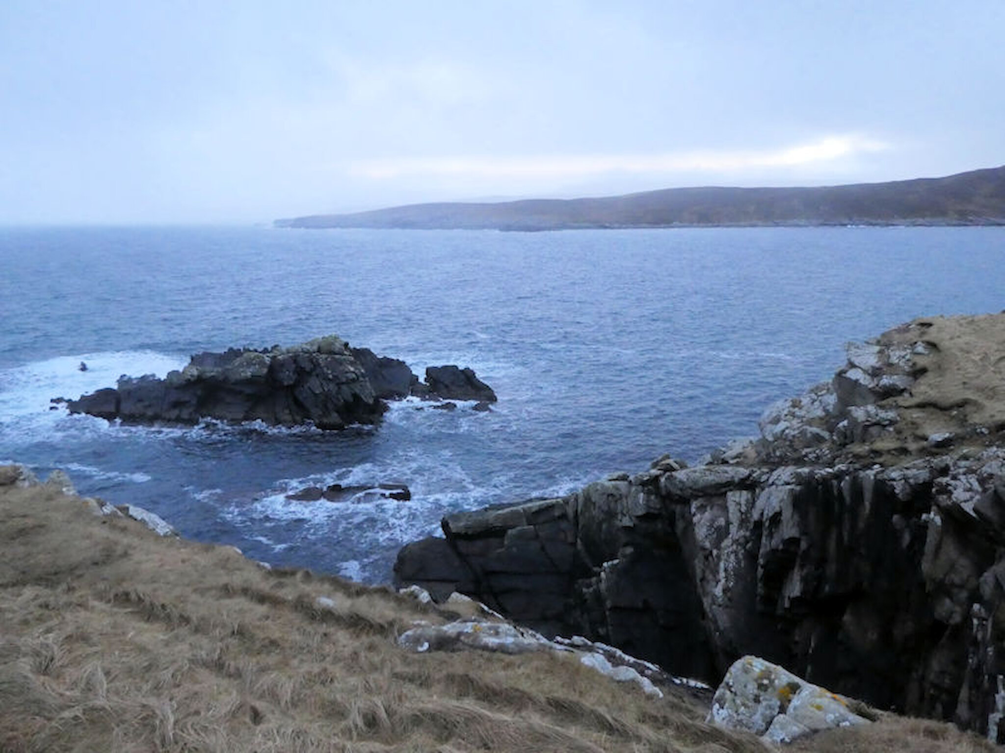
Bressay was still very much part of the scene but, as we climbed over the ridge, the view opened up to the south and west, looking towards the south mainland, the island of Mousa and – much closer at hand just across the bay – the next peninsula, the Ness of Trebister.
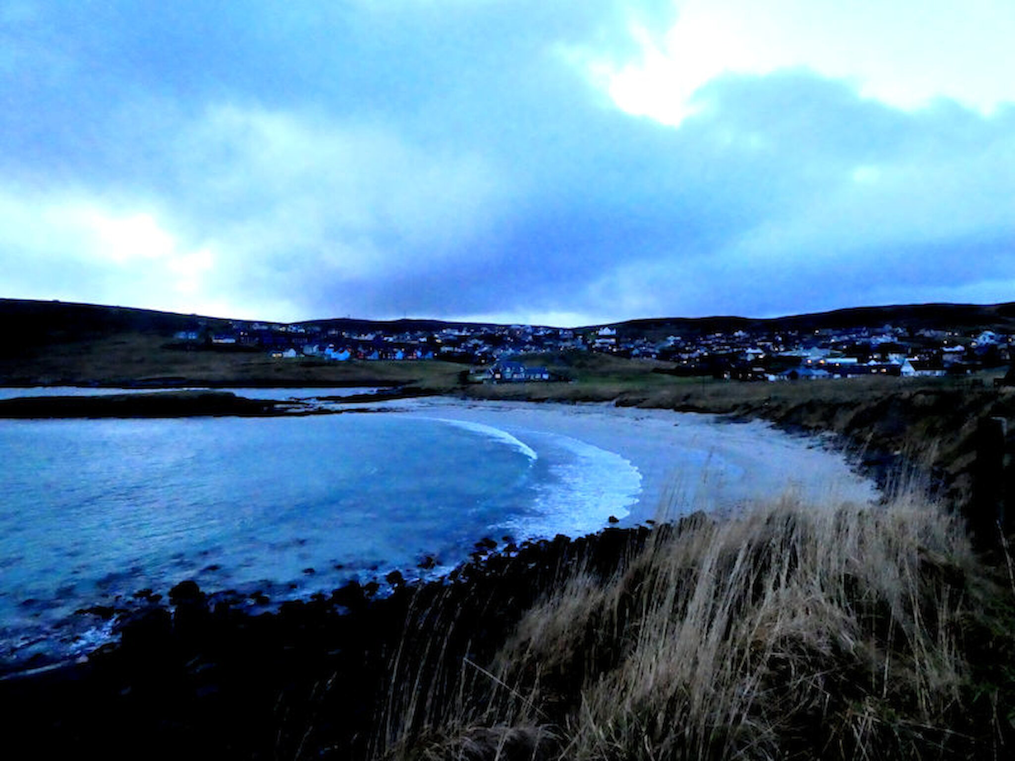
Turning north again, we skirted the shore all the way back to the Sands of Sound. It’s an appealing beach that attracts lots of Lerwick folk on sunny summer days but is also the scene of rather more heroic swimming at times such as Christmas Day and New Year’s Day.
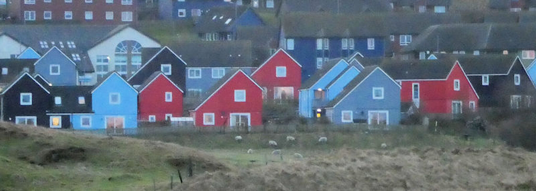
Beyond lies the newest part of the town, developed mostly since the 1970s. One of the more colourful additions is an outstanding development of social housing by the Hjaltland Housing Association. Designed by a local practice, Richard Gibson Architects, it has been recognised internationally as an exemplar for social housing design, having featured in exhibitions in Paris and Venice. You can see it in detail here.
From here, we found our way across to the eastern side of the peninsula and along the shore back to our cars. By now, the light was fading, as it was approaching 4pm. Sunset in mid-January occurs at about 3.35pm but the days lengthen rapidly at this time of year: we gain almost twenty minutes’ more evening sunlight every week, and about the same in the morning.
It isn’t a very long walk, and without our frequent stops we could probably have done it in under an hour, but two hours gave us time to make the most of the views and those remarkable remains.
Come summer, it’ll be worth doing again, as the meadows and clifftops will be awash with wild flowers. It’s an excellent outing for town dwellers – and others, like me – at any time of year.

Alastair Hamilton
Alastair Hamilton moved to Shetland in 1976. Until he retired, he worked for Shetland Islands Council, latterly as Head of Planning, and was also involved in economic development.