• Home
  • Blog
  • A crofter's diary: A winter's tale from Bressay
By Chris DyerDecember 21st 2021

Garths Croft Bressay owner Chris Dyer recalls exploring a spectacular section of Shetland coastline during a New Year’s Day walk.

The beautiful low winter sunrise at this time of year in Shetland is the perfect accompaniment to a New Year walk, casting long shadows and illuminating hillsides and coastal banks with a diffuse, oblique light.

I grew up wandering the arable fields and woodlands of England in early January but after happily making the move and finding my true north, nothing can compare to the Shetland coastline for blowing away any residual festive cobwebs and creating inspiration and stimulating thoughts for the year ahead.

Cullingsbrough is situated on the north-east side of the island of Bressay. The sheltered bay, rich fishing grounds and good quality land have attracted settlement for millennia and the remains of the now deserted structures are preserved within a landscape akin to a tapestry of human history. On New Year’s Day 2021, with feeding of sheep, pigs and poultry complete at Garths Croft, I set off with walking boots, jacket and flask to immerse myself in this quiet, today uninhabited corner of Bressay. A fascinating, valued aspect of the coastline of Shetland is the high likelihood that you will not encounter many people, and such was the case here as a natural soundscape from seabird calls to seal snorts and from crashing waves to piping wrens provided a pristine aural companion.

Upon arrival at the end of the public road, the first sound to be aware of is cascading water as the Loch of Setter enters the sea via a narrow, fast-moving burn. In summer this watercourse runs dry but, after a period of post-harvest rainfall and the water flow during winter, the logic is apparent of three now ruinous horizontal mills. These structures were erected to grind oat and barley seed into flour until the early twentieth century, reflective of an era of subsistence agriculture.

A fascinating, valued aspect of the coastline of Shetland is the high likelihood that you will not encounter many people ...

Chris Dyer

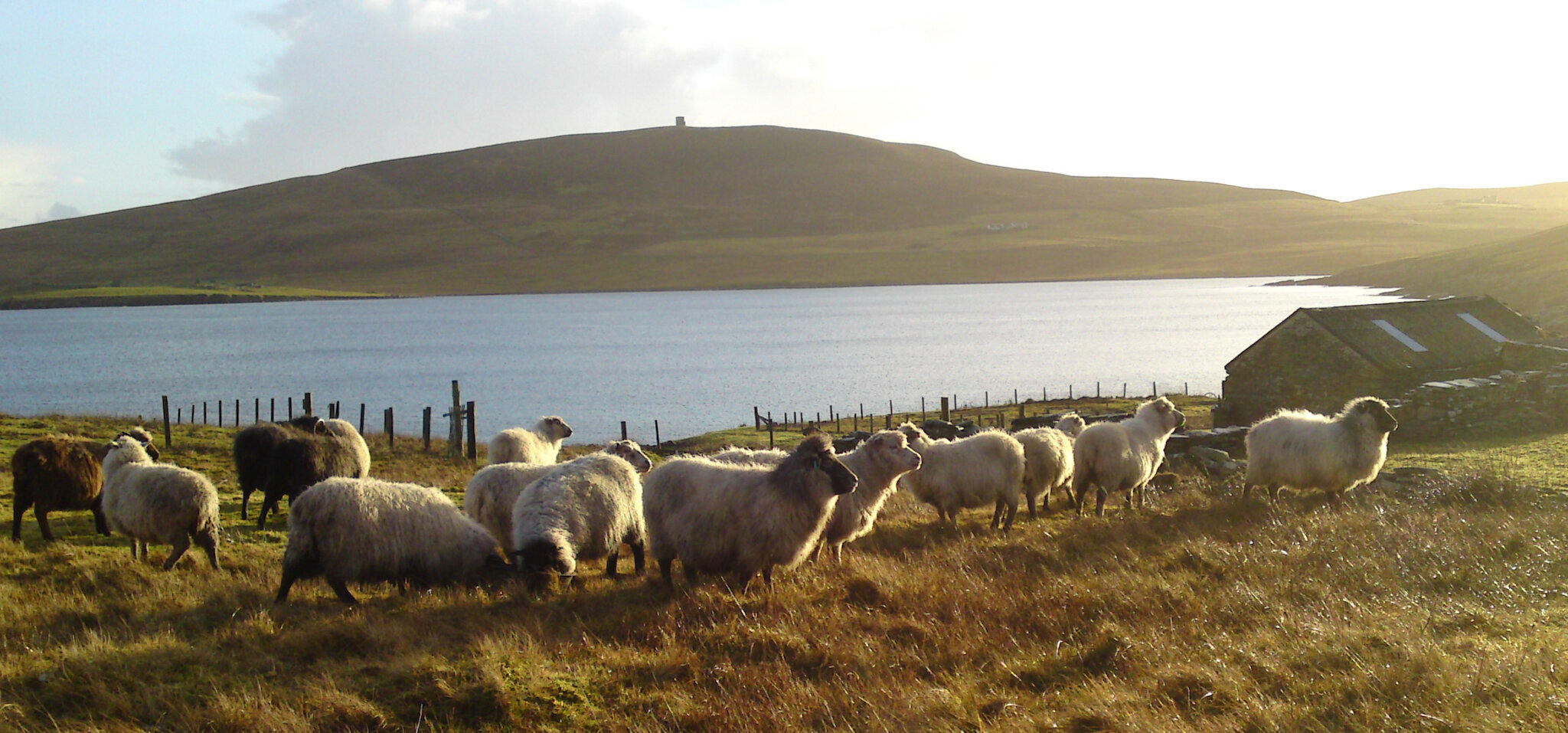
The track heads in a gently sinuous fashion adjacent to the coastline, periodic storms depositing huge stones and concentrations of seaweed. The view to the north opens seaward towards the island of Whalsay and to the west the Aith Ness peninsula in Bressay. The latter is surmounted with an in situ Great War artillery gun (another fantastic walk!), defending the approaches to Lerwick Harbour.

The outcropping bedrock is an aesthetically pleasing uniform Devonian Old Red sandstone, a mere 380 million years old, the sedimentary nature of which was wholly beneficial in terms of fashioning into the building blocks of post-medieval dwellings on the east side of Bressay and beyond. In addition, from this point, the nineteenth century quarries at Aith are visible, where extremely fine sandstone was extracted for the manufacture of roofing slate and flagstones across Shetland.

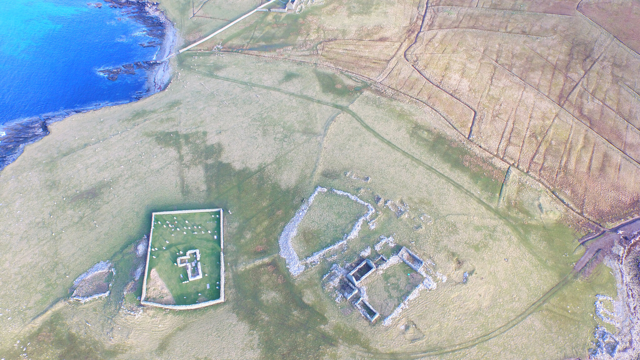
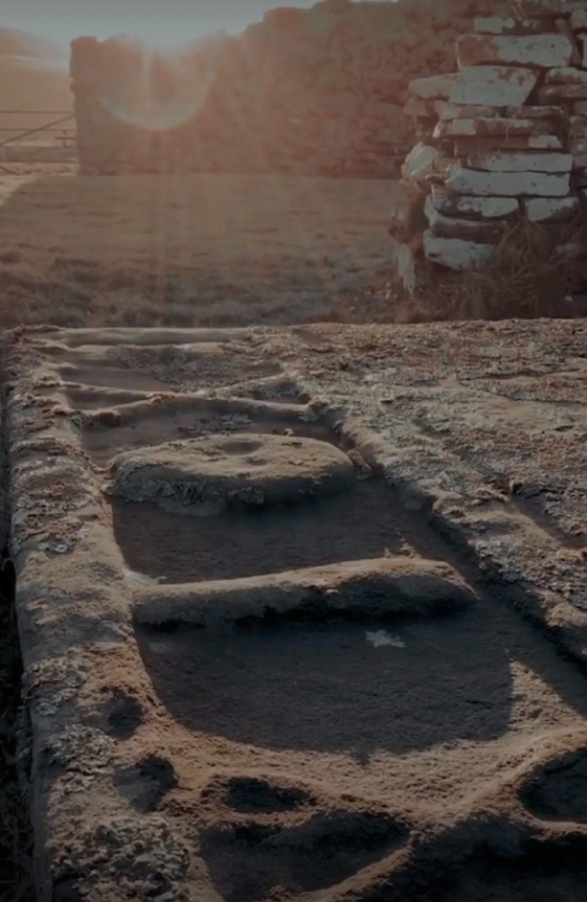
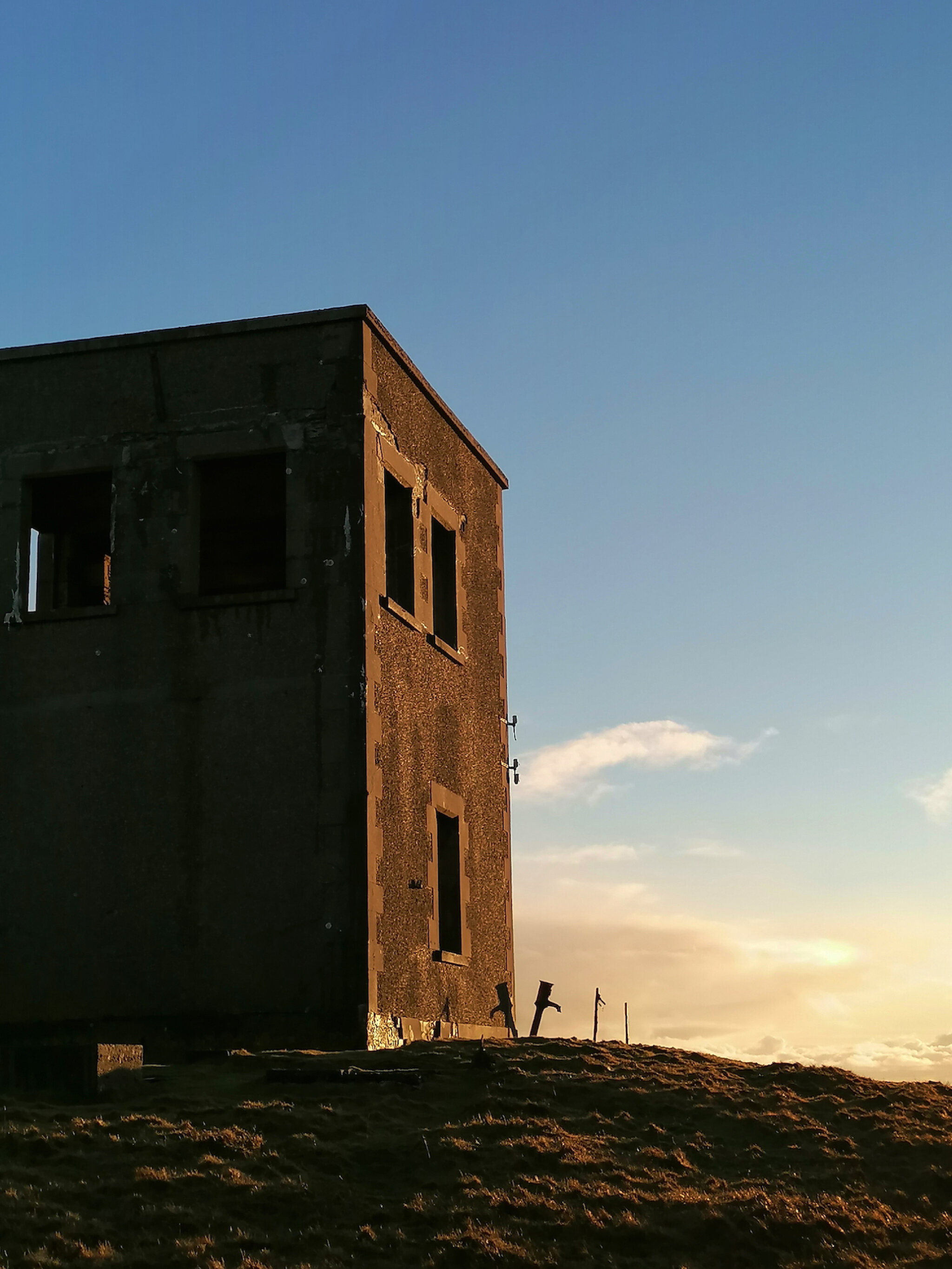
Upon arriving at the historic settlement of Cullingsbrough, the variety and density of remains is astounding, comprising a Bronze Age burnt mound, Iron Age broch, replica Pictish symbol stone, Viking and Norse structures, early Christian chapel, post-medieval croft houses alongside contemporary noosts – the Shetland dialect term for hollows, usually at the edge of a beach, where a boat is drawn up – and the foundation courses of a coastal böd – a fisherman’s hut.

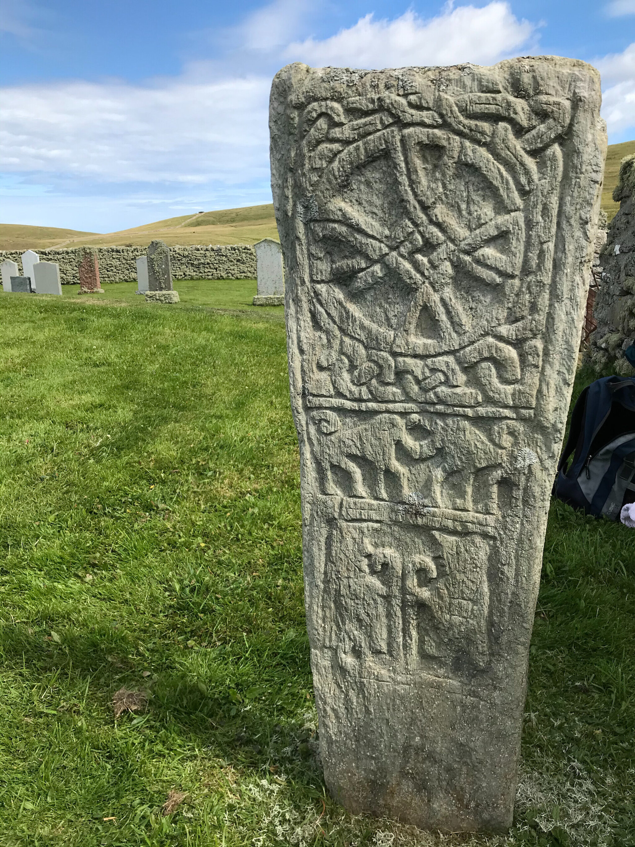
A fascinating tale at the chapel relates to a substantial memorial stone complete with an elaborate crest. This references Claes Jansen Bruyn, Commander of the Amboina, a vessel of the Dutch East India Company which had sailed from the Indian Ocean in February 1636. Delay caused her to miss the Dutch convoy at the Cape of Good Hope and she left in May for a voyage of perilous headwinds and sadly disease amongst the crew. The Amboina arrived in Bressay Sound in August with a significant proportion of her crew perished. The survivors were offered shelter within Bressay whilst Commander Bruyn died on 27th August. The following year, a memorial stone was shipped from Holland to mark his grave.

Continuing along the coast before crossing inland, a favourite route of mine is to begin to climb at this point, heading towards the summit of Ander Hill. Situated at a height of 144 metres, the former Admiralty Tower, built in 1908, is the perfect spot to pour a warm drink whilst enjoying elevated coastal views. The two-storey tower was manned during both world wars and latterly used as a coastguard lookout until the 1960s. Communication via semaphore flags and binoculars was undertaken from the roof of the structure with the two Great War naval gun positions and their crews.

And what a panorama! Looking east towards the working farm and National Nature Reserve of Noss and north towards the islands of Yell, Unst and the summit of Saxa Vord. Foula is visible on a clear day to the west and Sumburgh to the south. January conditions may be periodically challenging but embracing the elements and travelling off the beaten track stimulates mind and body, providing memorable and enjoyable experiences.

An energising New Year walk can be enjoyed at Cullingsbrough, showcasing the very best of Shetland and providing motivation for the year ahead.

Where will you be walking in January? We have selected some of the most spectacular winter walking routes in Shetland to help you decide.

A short reel of Chris Dyer’s New Year’s Day walk at Cullingsbrough, Bressay can be seen here and a longer film of the area can be viewed here.