By Alastair HamiltonMarch 7th 2019
Alastair Hamilton

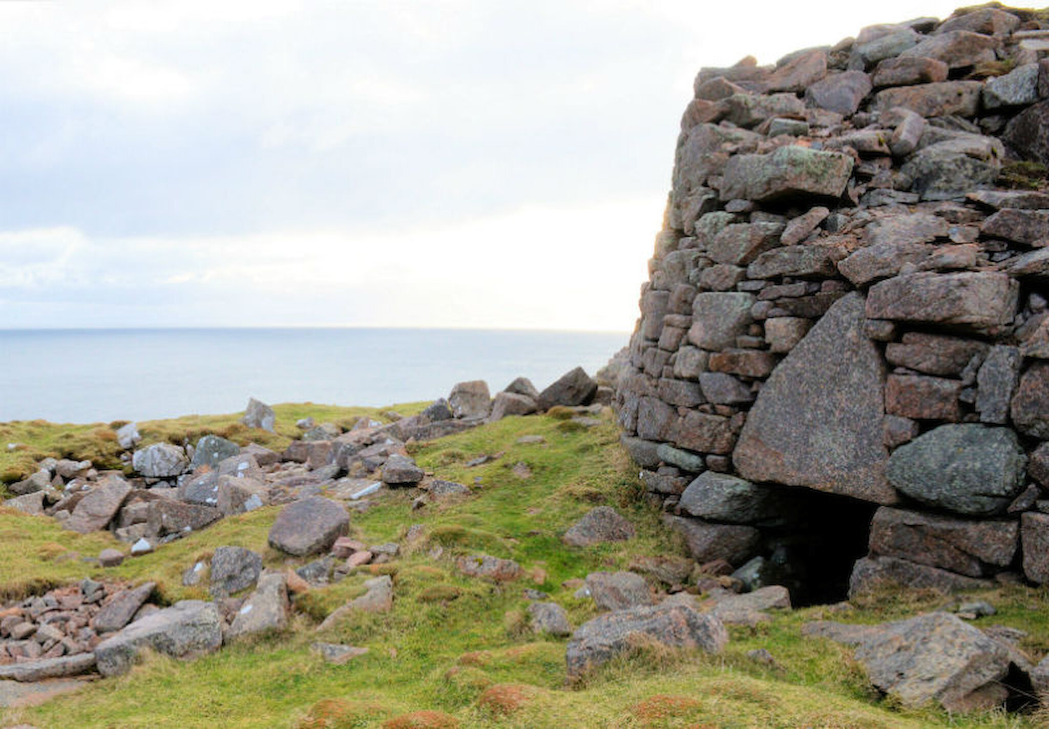
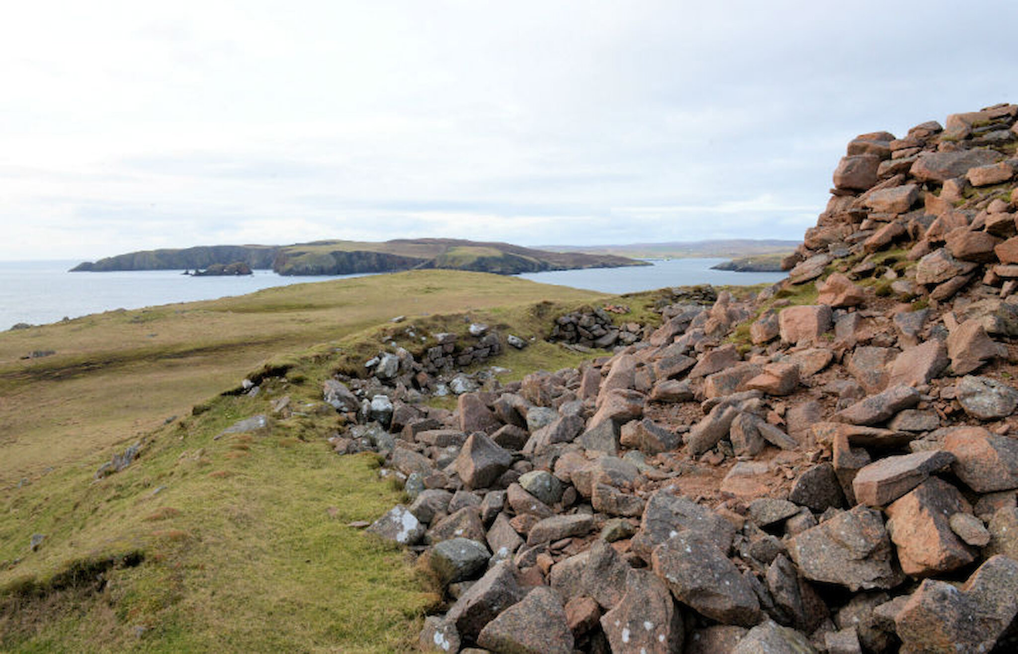
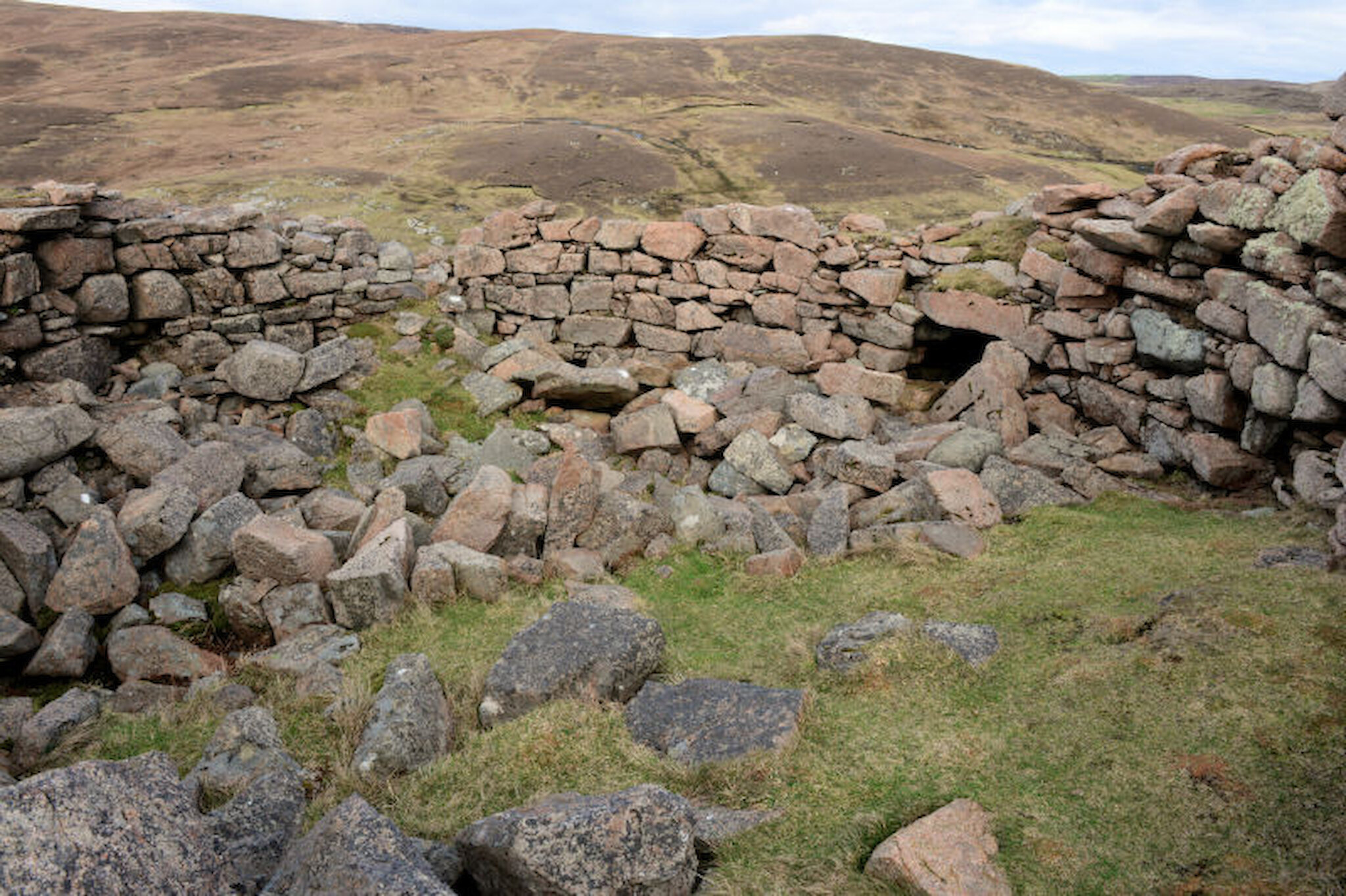
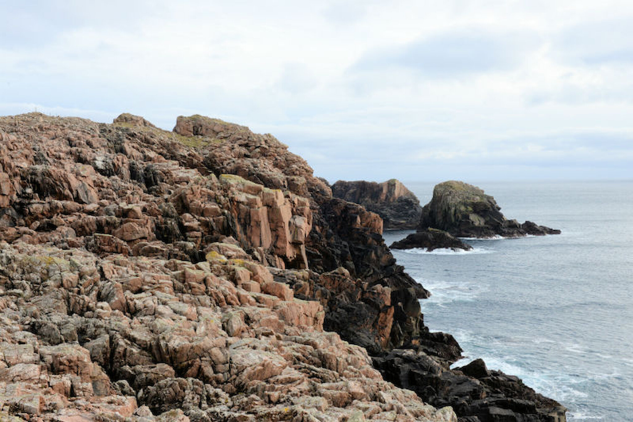
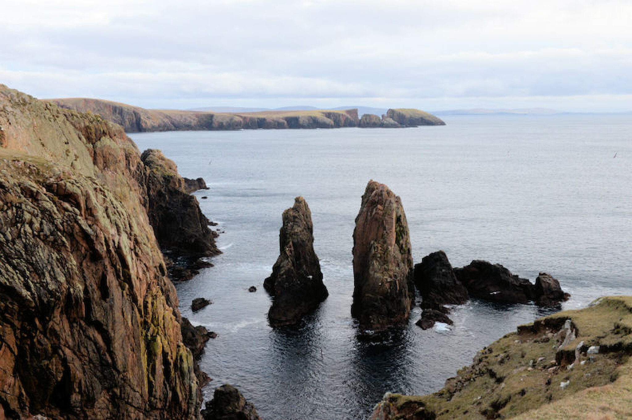
Many things combine to make life in Shetland what it is and one of them is the ease with which we can get out into truly wonderful landscapes. Another is the wealth of impressive and intriguing archaeological remains. A walk to Culswick broch, in Shetland’s west mainland, brings these strands together; and so it was that on a bright, dry March afternoon, I decided to get some much-needed exercise and head west to visit the Broch of Culswick.

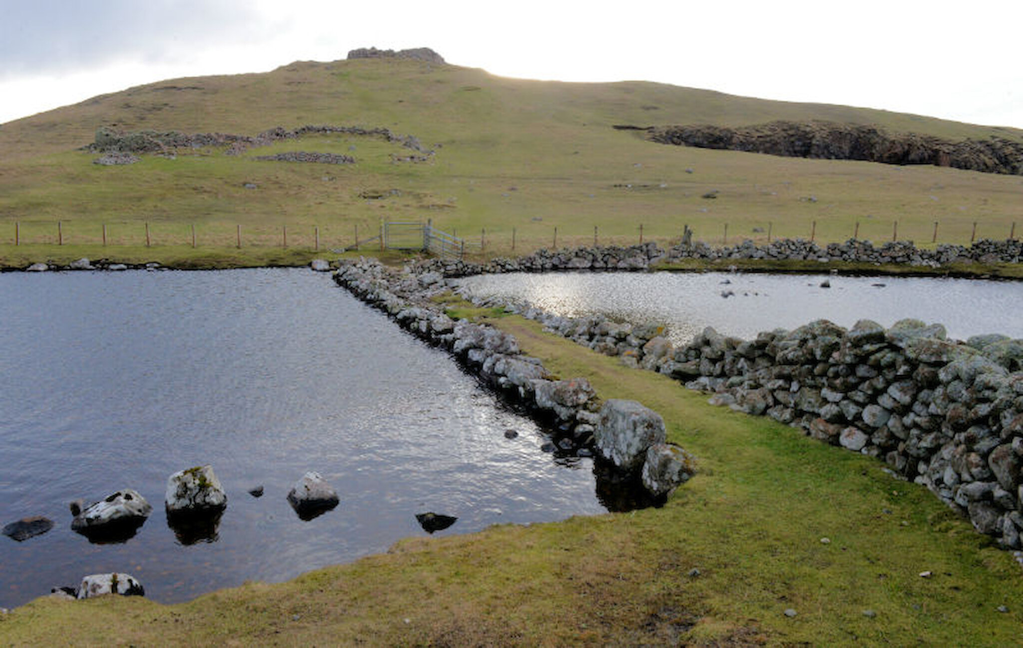
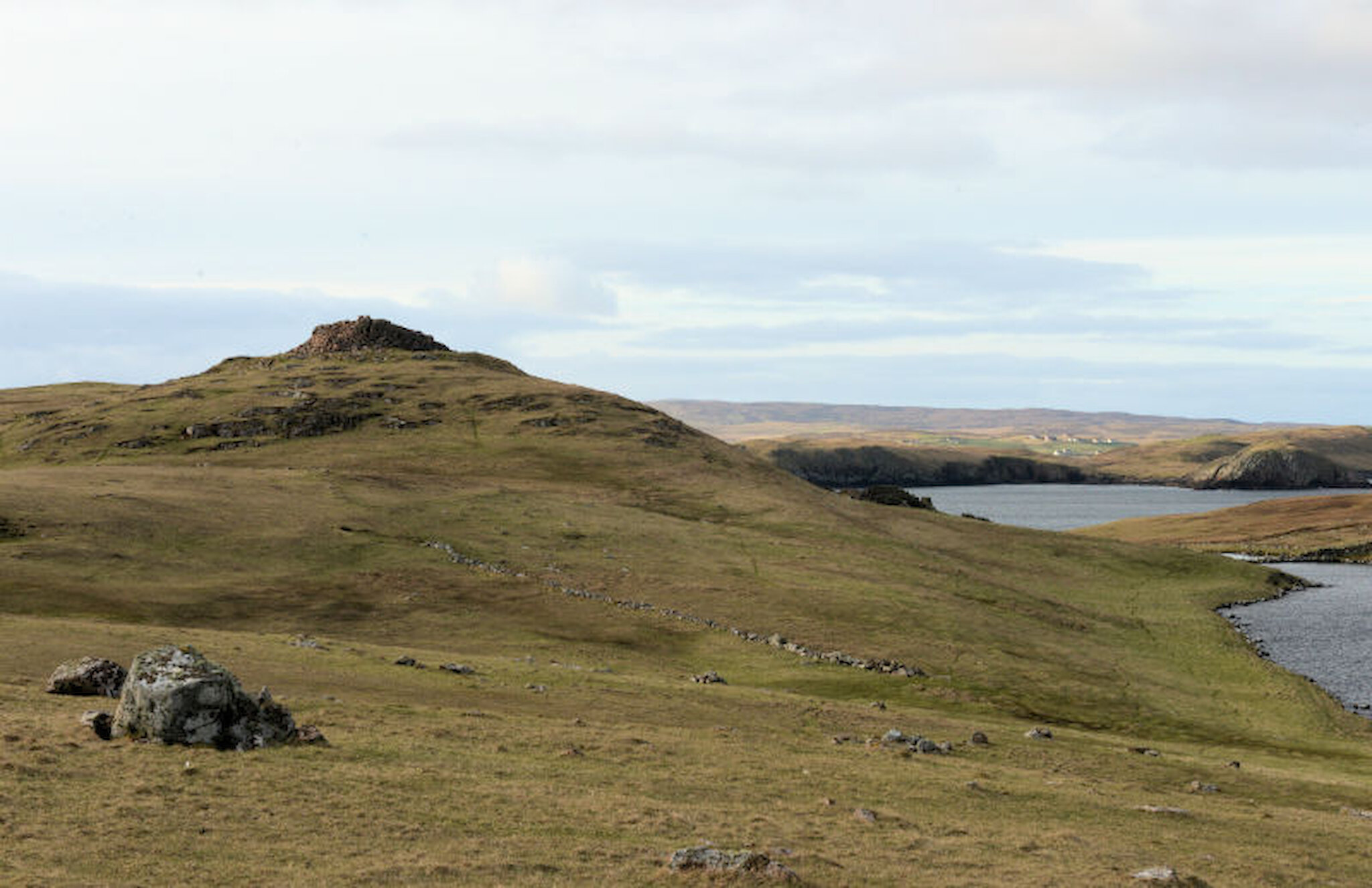
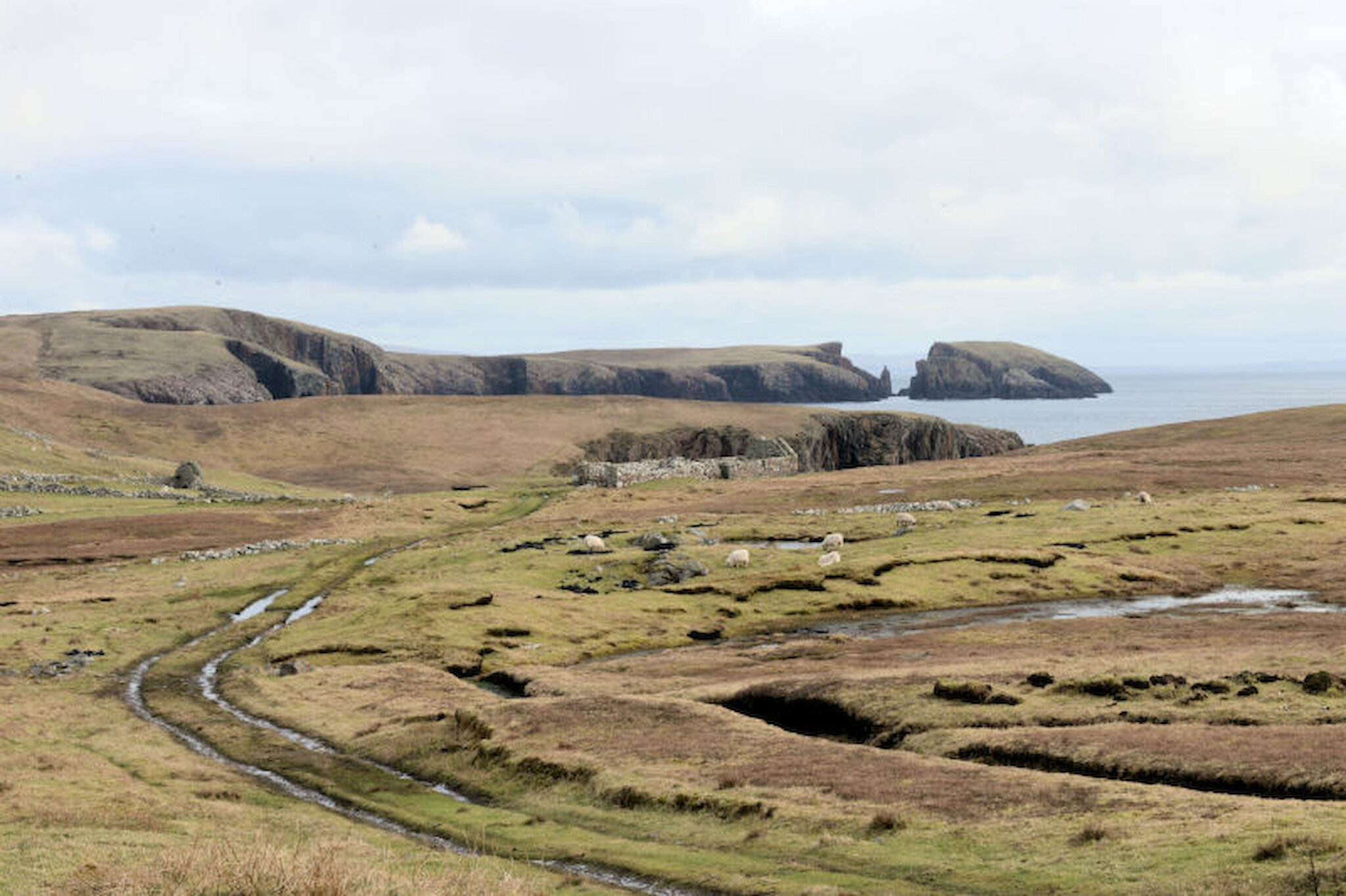
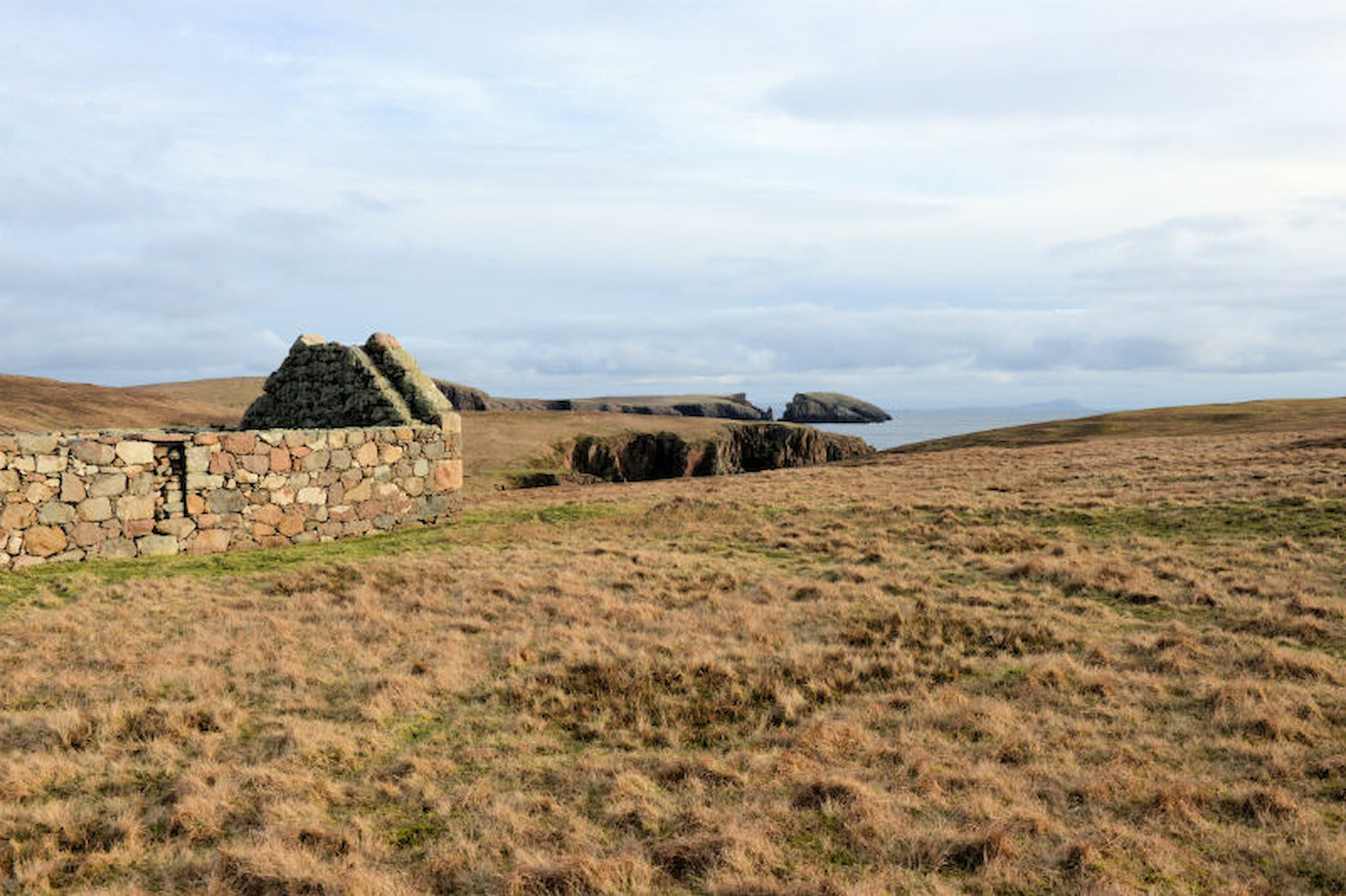
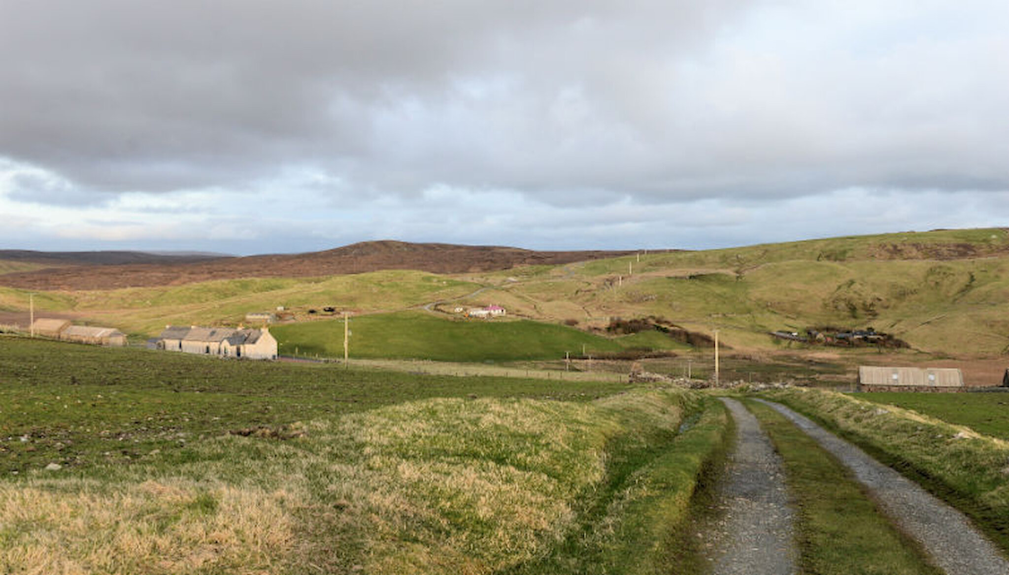
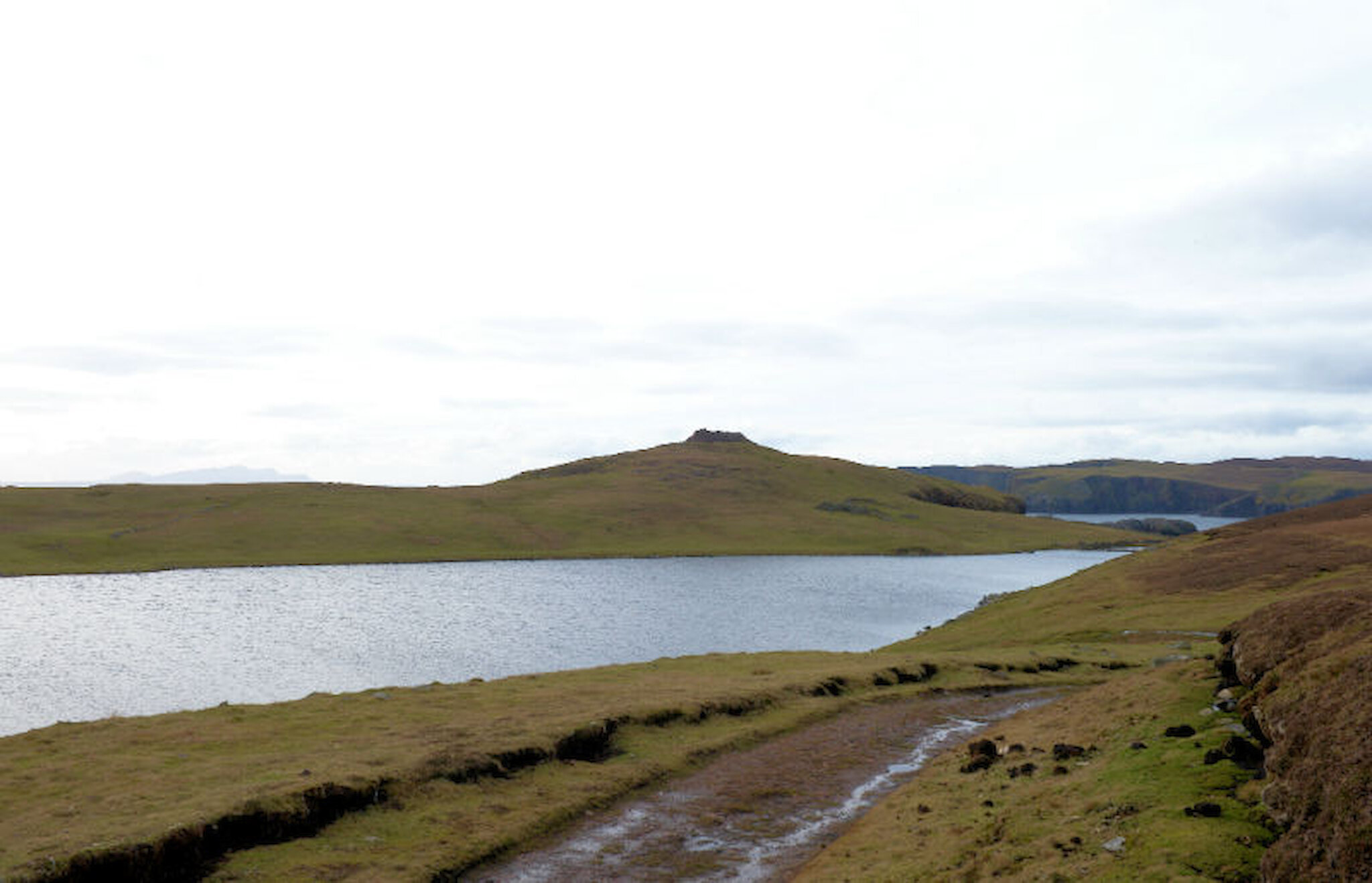
The starting point, the hamlet of Culswick, is little more than half an hour’s drive from Lerwick. It consists of a handful of houses nestled in a valley in the west mainland of Shetland, usually just known as ‘the westside’. A good track leads most of the way to the broch, skirting the Loch of Sotersta, and the hills provided shelter from a fresh north-easterly breeze.

Only as I neared the broch did I leave the track and head across close-cropped heather and grass moorland towards a stone causeway that crosses the end of the Loch of the Brough. After that, it’s a short, steep scramble up to the broch itself.

Brochs are stone towers, with double walls that taper a little towards the top. The word broch is derived from Old Scots, signifying a fort; in Old Norse, they were borgs. There are reckoned to be around 120 broch sites in Shetland, out of well over 500 that are known across Scotland. Most are in Shetland, Orkney and Caithness, but they’re found in considerable numbers in the Hebrides and there are a few examples elsewhere in Scotland.

The best preserved anywhere is in Shetland, on the island of Mousa. It’s over 13m tall, probably very close to its original height; but it may not be typical: most were probably lower and wider. They are generally dated to the Iron Age and were once thought to date from between 100BC and 100AD. However, recent evidence (particularly from excavations at Old Scatness in Shetland) has indicated an earlier date for the start of broch construction, between 400BC and 300BC, and it may be earlier. Many brochs seem to have been surrounded by a ‘broch settlement’, a tightly-packed group of homes and workshops, though Mousa was an exception.

Many theories have been put forward to explain their origin and purpose. It was once suggested that they were built by peoples forced north and west by invasions by Belgic tribes or Romans, or that there was a migration from south-west England. More recently, opinion has shifted towards an indigenous origin for them in the communities of the north and west, products of a shared culture. Defence is usually assumed to have been part of their role, but it’s not clear whether that was the main purpose; demonstrating the social status of a chief may also have been a motive. It seems likely that signals, using fire and smoke, may have enabled broch peoples to warn of impending danger, since, from most if not all broch sites, it’s possible to see at least one other broch site.

The defensive potential of the Culswick site is obvious. It stands on a hill overlooking the Atlantic, commanding a view not only of the adjacent coastline, including the island of Vaila, but also stretching as far as Fitful Head, about thirty miles to the south-east, and Foula, about twenty miles to the west. With cliffs on two sides and steep approaches, it’s a pretty good defensive position.

The broch stands a little over 3m at the highest point but was undoubtedly higher, as the debris from collapsed walls suggests. When the traveller, George Low, sketched it in 1774, it stood three storeys high, and it’s assumed that some of the stone was taken for building purposes. The pink granite stones are large, and the broch-builders needed all their skill to turn these irregular chunks into an elegant tower. Simply getting all that material up here obviously required labour and organisation.

A notable feature is the triangular lintel over the door, shown in the third photograph above. The interior end of the entrance passage is shown here.

I paused for a while here, taking in that extensive view, before heading south along the coast; and what a coast this is! ‘

'Rugged’ hardly does it justice; the sea has been steadily battering and – very slowly – eroding it for millennia. Hundreds of rock fragments, carried by storms, stretch around 60m or 70m inland at one point.

There are stacks offshore, including these, the Burga Stacks, home to seabirds. According to local legend, one of them was home to a monk or hermit.

I turned inland and headed across close-cropped grassland towards the long-abandoned settlement of Sotersta. There are the remains of houses, planticrubs (stone-walled plant shelters used to grow food crops) and other enclosures. This may be where some of those missing broch stones ended up, for it wouldn’t have been difficult to drag them here on a sled or cart, mostly downhill, possibly not long after Low’s visit.

Sotersta was perhaps always a rather marginal community. Although there is fresh water from the nearby loch, access to the sea isn’t as convenient as in most Shetland hamlets.

A few hundred metres more across the moor and I was soon back at Culswick to pick up the car, just under two hours after setting off. It’s an excellent morning or afternoon ramble, with some intriguing archaeology and that stunning coastline. For those who crave solitude, I can report that I didn’t see another human, only birds and sheep.

Next time, though, I’ll take a picnic and allow more time to soak up all that superb scenery.

It’s an excellent morning or afternoon ramble