• Home
  • Blog
  • The pleasures of local exploring: West Burra
By Alastair HamiltonMarch 29th 2020
Alastair Hamilton

In Shetland, as elsewhere, the reality of living with the presence of the coronavirus has become all too clear. Only a month ago, many of us would have thought nothing of jumping in the car and heading off to visit friends or, on beautiful Spring days, explore more distant corners of the islands.

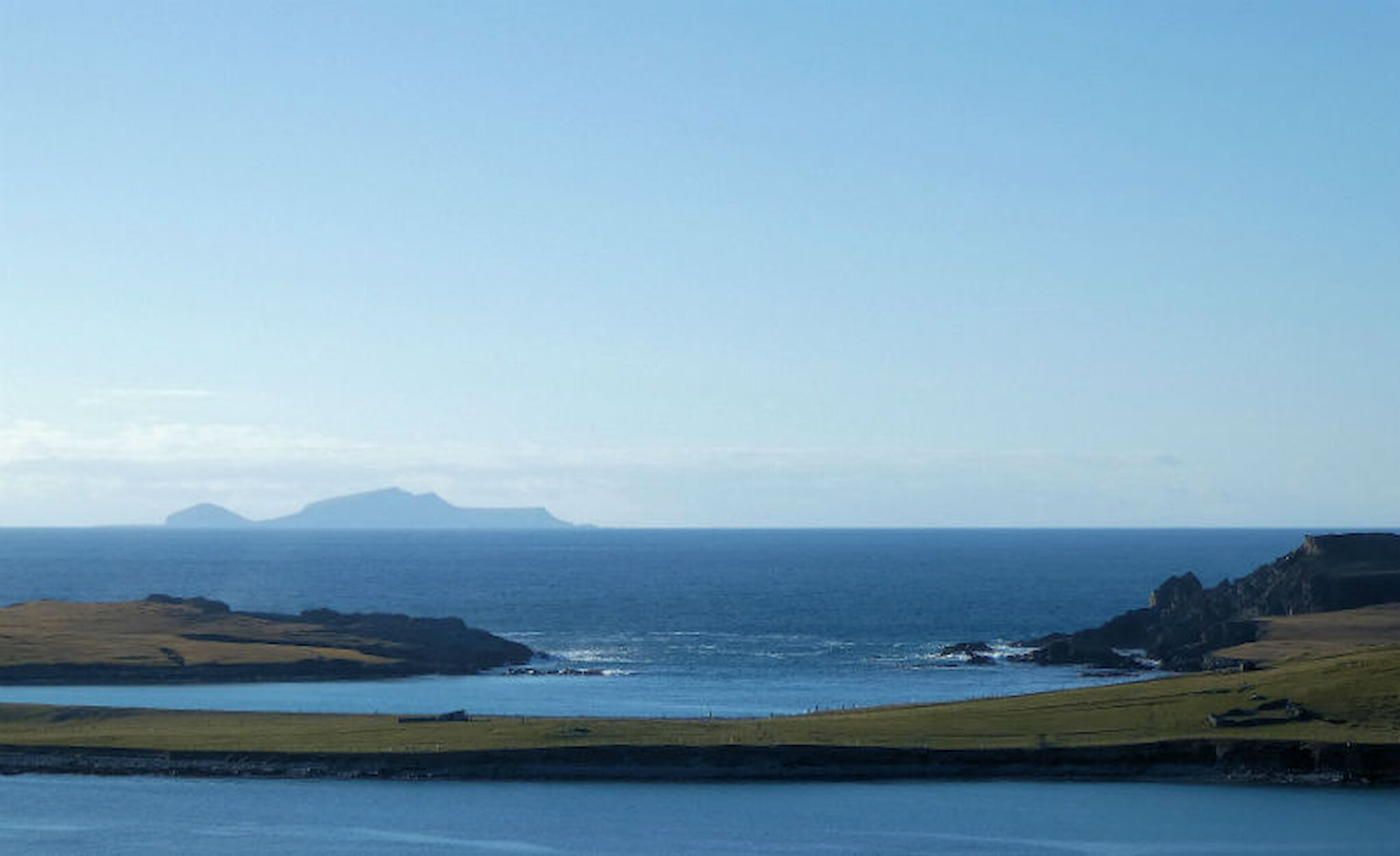
Things are very different now, so my own wanderings have been much closer to home, undertaken either on foot or cycling; and of course, it’s all too easy to take for granted all that can be seen and enjoyed nearby. In Shetland, most of us live in rural areas or villages, but even from Lerwick, it’s possible to walk to open countryside or a quiet part of the coast in ten or twenty minutes. In that respect, we’re very fortunate.

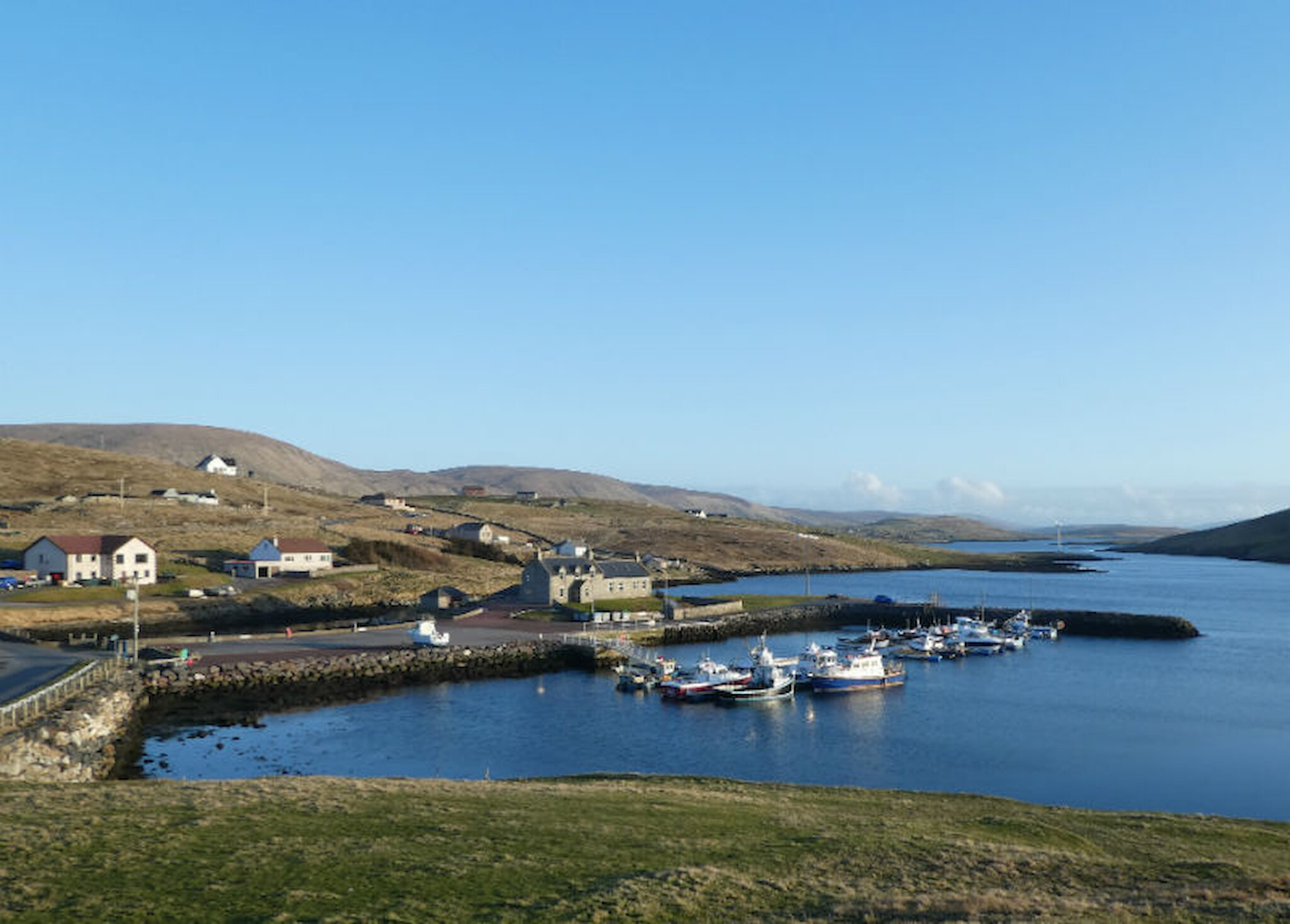
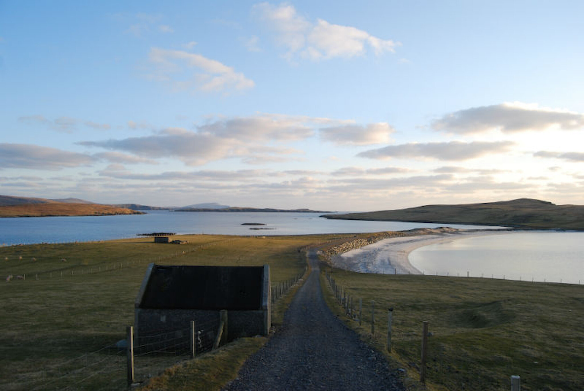
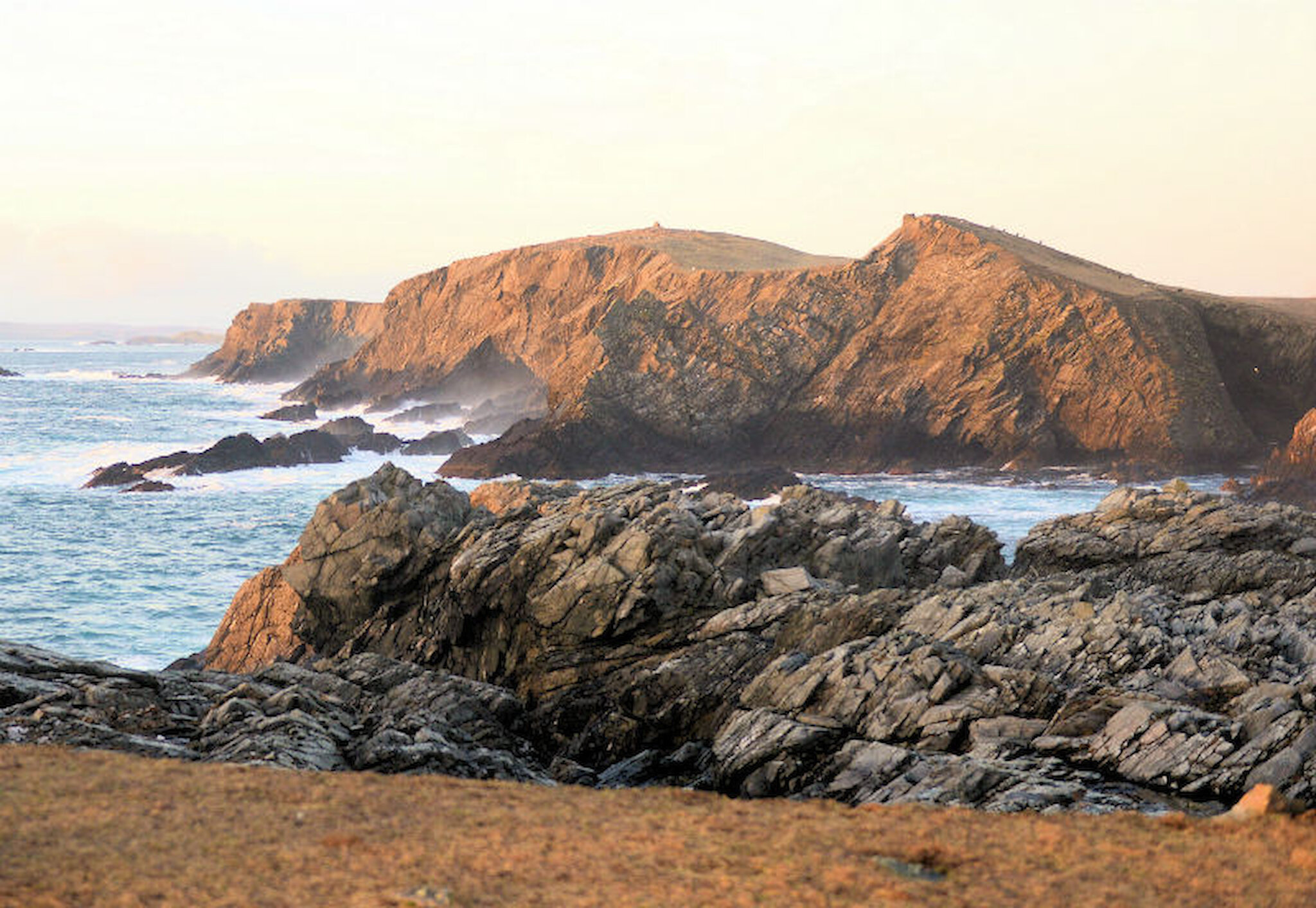
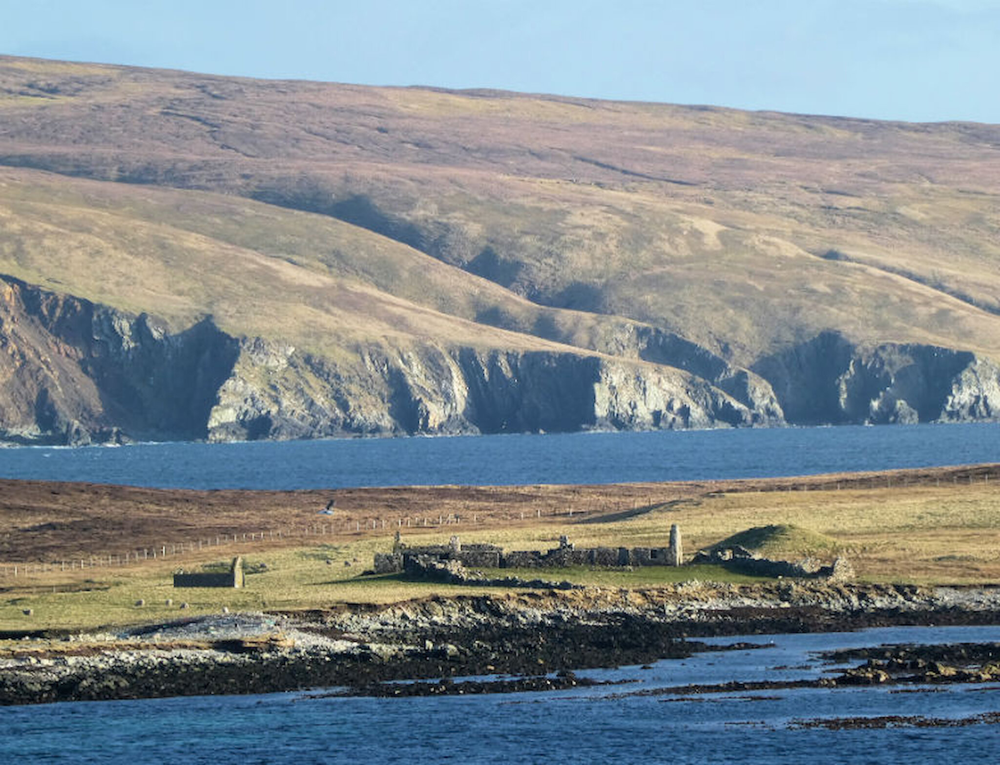
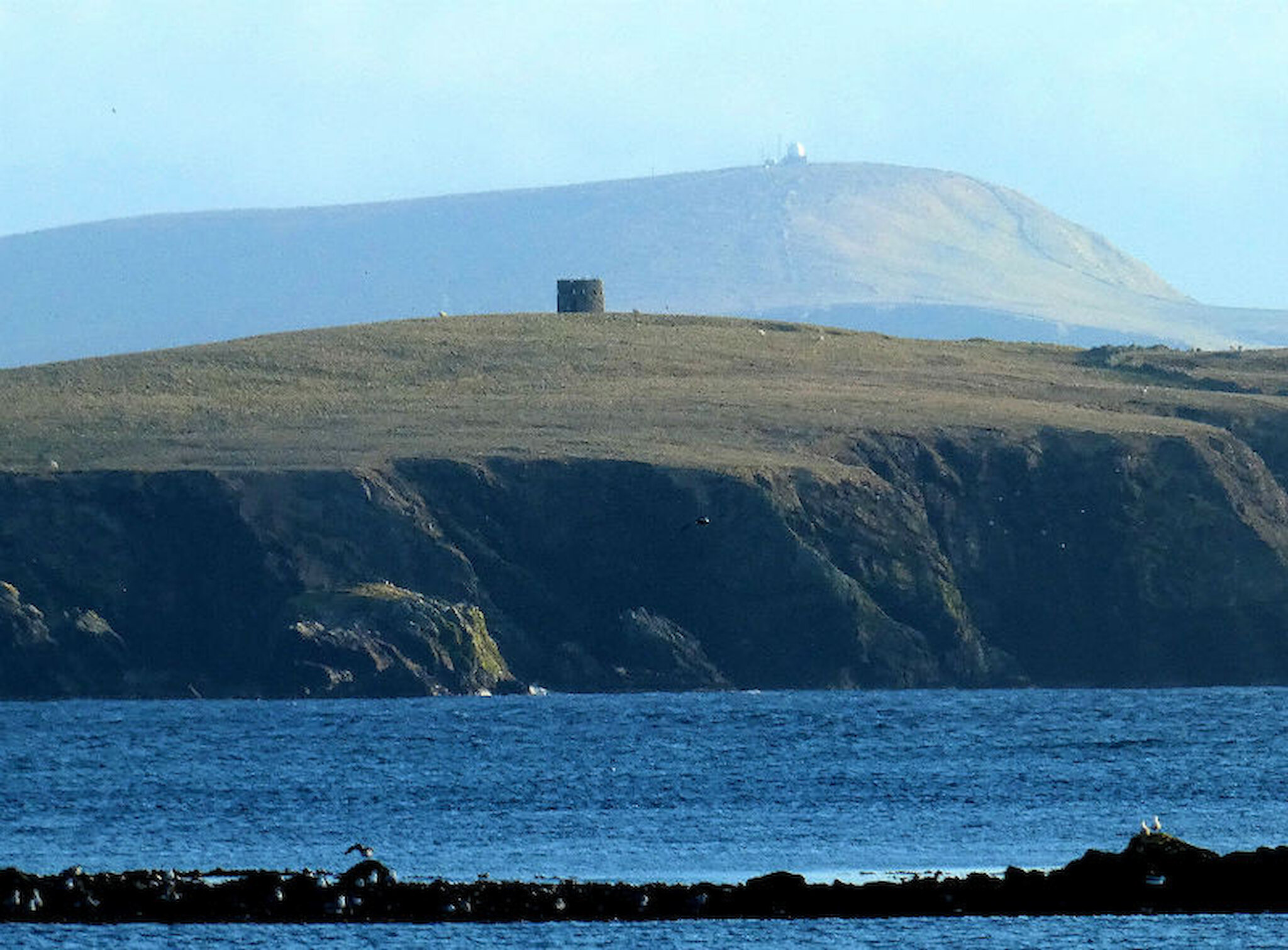
East Burra (where I live) and West Burra, together with their northern neighbour, Trondra, lie just off the west coast of the south mainland, separated from it by Clift Sound, which is only about half a mile wide, and much less at its northern end.

East and West Burra have long been linked by a bridge over a narrow channel, but all three islands were connected to the mainland by two more bridges that opened in 1971. Since then, they’ve become popular places to live, partly because they’re inherently attractive – this is part of the Shetland National Scenic Area – but also because it takes little more than 15 minutes to reach Scalloway or Lerwick.

From East Burra, I headed across the little bridge to West Burra. The old school here is now a well-equipped outdoor centre that, in normal times, is popular with visiting groups. There’s an area set aside here for visiting caravans and motorhomes and the adjacent marina is the base for many small craft.

This is a popular place from which to set off in a kayak on very sheltered waters.

Heading south on West Burra, I made a brief detour to a beach where it’s usually possible to see – at a respectful distance – the seals that often haul out here. On a longer excursion than this, I might have left the bike here and taken a circular route, beginning with a walk down the western cliffs – it’s a beautiful stretch of coast.

This time, I cycled south by the road, taking in more of those great views. Shetland ponies are often to be seen hereabouts, indeed Burra has many horse and pony enthusiasts. Quiet roads make for safer riding and there are facilities, too, including a riding school.

I passed by the old kirk at the hamlet of Papil, where research has recently thrown more light on the history of the existing, roofless church and its long-vanished predecessor.

Thanks to work by one of the Curators at the Shetland Museum, Jenny Murray, and local geologist, Allen Fraser, a fascinating connection has been established between the original, 12th century Papil kirk (and two others of similar date in Shetland) and St Magnus Cathedral in Kirkwall, Orkney, which was founded in 1137.

You can find out more about the detective work that led them to this conclusion on the Shetland Museum and Archives website and Jenny’s blog articles, which are among those on this page.

In outline, though, Earl Magnus Erlendsson (c.1075-1116/17) was one of two cousins between whom the Earldom of Caithness, Orkney and Shetland was divided from about 1098. Magnus was murdered and his relations sought to have him elevated to sainthood, which eventually came about, creating what was essentially a cult in the process.

St Magnus Cathedral in Kirkwall, pictured above, was founded in his name and building kirks elsewhere was one way of promoting the cult. It seems that the three in Shetland all had distinctive, tall towers built using red Orkney sandstone. The stone may even have been imported to Shetland ready for use, having been worked by the same masons responsible for the cathedral in Kirkwall.

The investigation confirmed earlier research that had suggested a connection and it’s also now clear that the most recent early 19th century kirk at Papil incorporates red building stone from the earlier, 12th century structure. Some of the stones are clearly visible in the photograph above. What’s more, it turns out that the local history group in Burra were in possession of a “piscina” from the old church, used to hold holy water, which had been carved from that same Orkney stone.

It's not clear exactly when this steepled church was demolished, but it was mentioned by travellers visiting Papil as recently as the late 18th century. A replacement – the building we see today - was constructed in 1815.

However, the history of this site extends farther back than the Norse period. The place-name, Papil, (from papar, signifying Celtic priests or monks) indicates that this was an early Christian site. An excellent example of a cross-slab was discovered here in 1877 and the original is now in the National Museum of Scotland in Edinburgh. However, a replica (pictured below) has been placed in the kirkyard. Other carved stones, including an important shrine-panel, have also been found here.

This is, then, a place rich in history; but, as in all kirkyards, there’s much scope for reflection here on the lives of those long gone, and many clues to the occupations of the people who lived here; in Burra, fishing and the merchant navy feature on many tombstones. There are Commonwealth war graves here too, two from the first world war and one from the second. All three men were in the Royal Naval Reserve, like so many Shetland seafarers.

There’s another reminder of this area’s past just a little farther down the road, at the thatched croft house – a Listed Building and now home to the local history group – in the hamlet of Duncansclett. The cottage was one of the projects featured in Restoration, the BBC television series, in the early 2000s.

Southwards again, beyond the end of the public road, a track leads downhill to the magnificent sandy beach of Minn. This is another of Shetland’s tombolos – double-sided sand or shingle bars – of which the best example links St Ninian’s Isle, a few miles south of here, to the mainland. This little bay has a narrow entrance guarded by impressive headlands; a storm breaking on these is a spectacular sight. The photo below and at the head of this article, taken from East Burra on another day, shows these headlands, with the island of Foula beyond.

Minn beach was one of the locations that's been used in the BBC1 Shetland television series.

The north side of the tombolo is composed of fine sand, the south of shingle. As elsewhere in Shetland, sheep are often to be found eating seaweed in preference to nearby grass.

I went only as far as the beach on this occasion, but it’s possible to walk on from here onto Kettla Ness, offering another stretch of dramatic coastline, as this photo from an earlier visit shows.

Even without going up onto Kettla Ness, there are great views. To the east, the ruins of the old settlement of Symbister on East Burra (below) can be seen. It has ancient origins: a prehistoric burnt mound - made of stones that had been heated and used to cook food in stone water troughs - stands close to the more recent houses.

Southwards, there’s the island of South Havera, topped by its long-abandoned windmill that can be seen in the photo below. It was built because there was no stream on the tiny island to power the small grain mills found elsewhere in Shetland.

Beyond that, in this view, is Fitful Head, a constant presence in that direction.

Something else that draws people to this area these days – and is definitely not a historical relic – is one of Shetland’s cake fridges. In other circumstances I’d have been popping along the road to it in order to pick up something delicious on the way home, but it’s temporarily closed, and much missed.

Let’s hope it won’t be too long before normal service is resumed, and people who live farther away than walking or cycling distance can once more visit this beautiful corner of Shetland.