• Home
  • Blog
  • Sumburgh: A walk through history
By Alastair HamiltonNovember 29th 2019
Alastair Hamilton

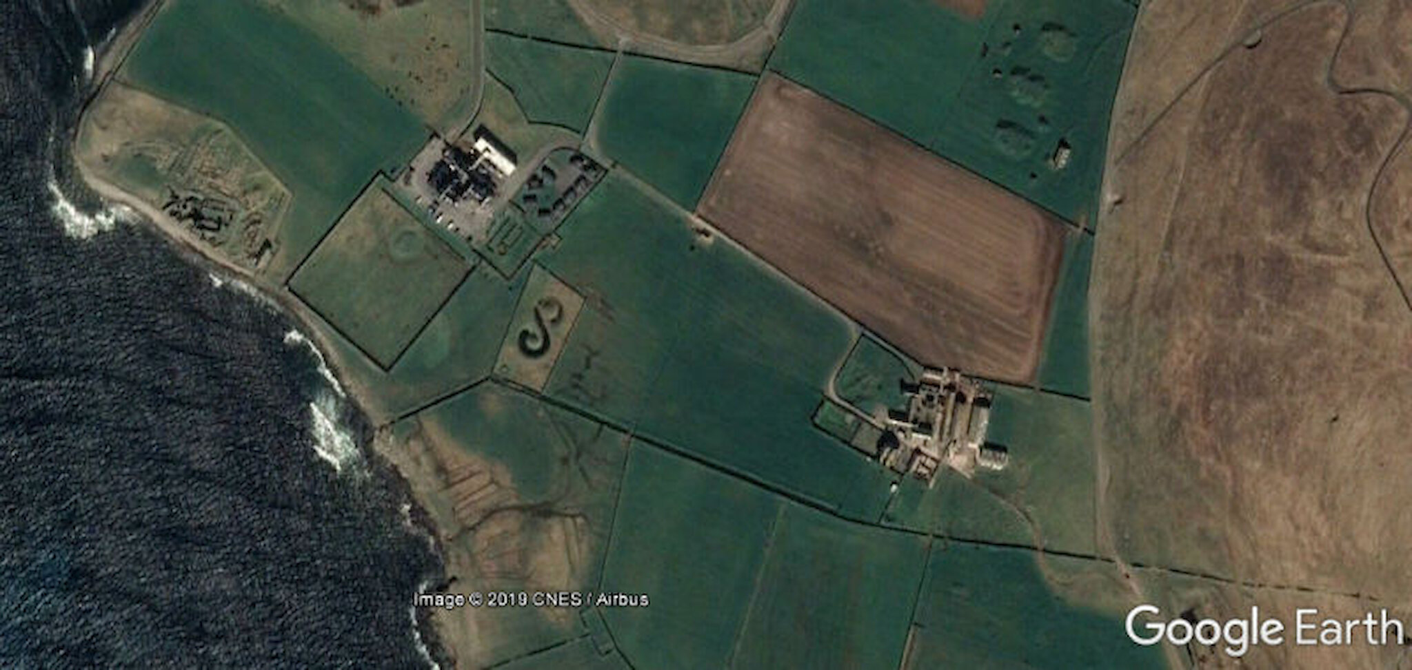
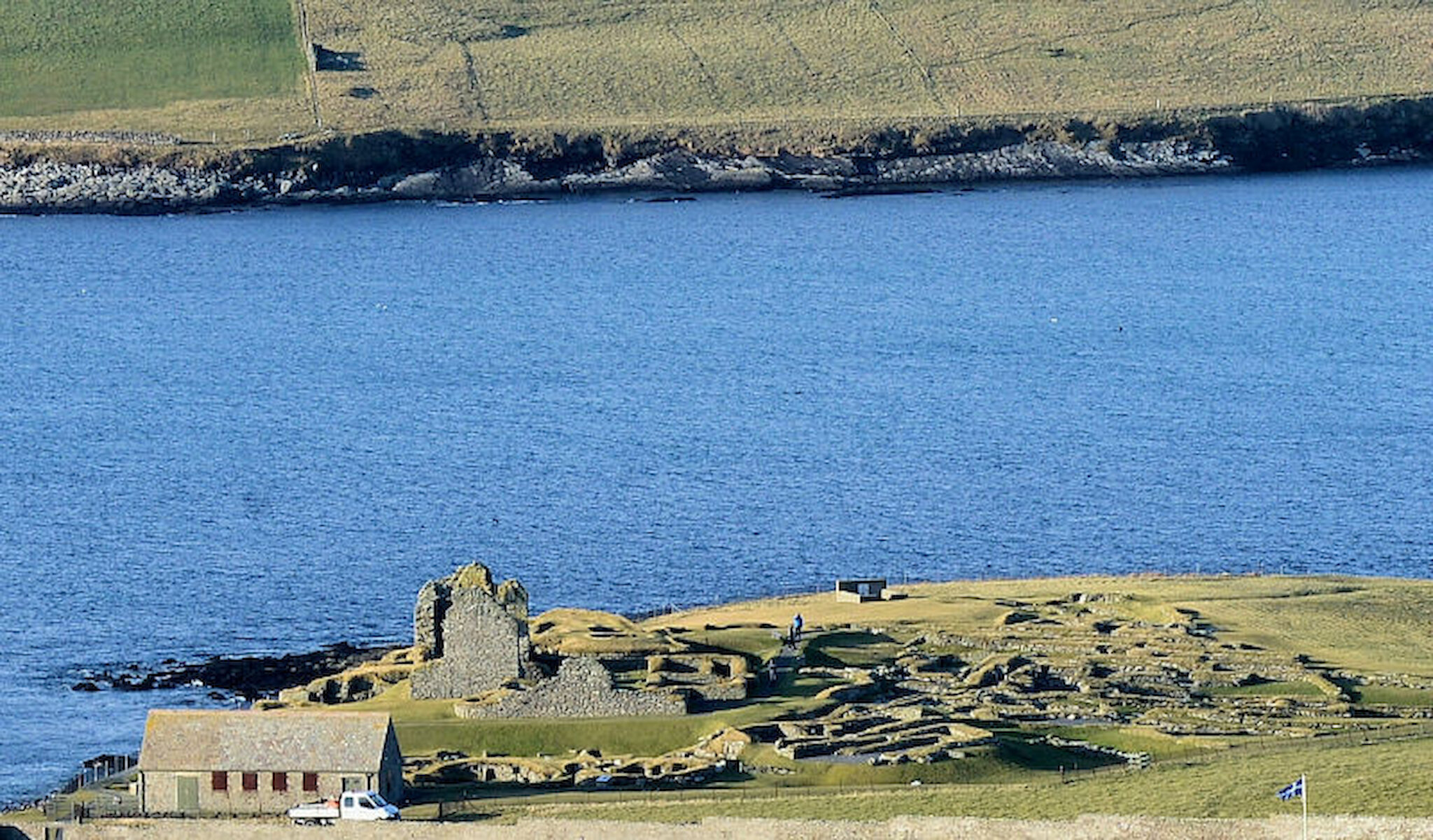
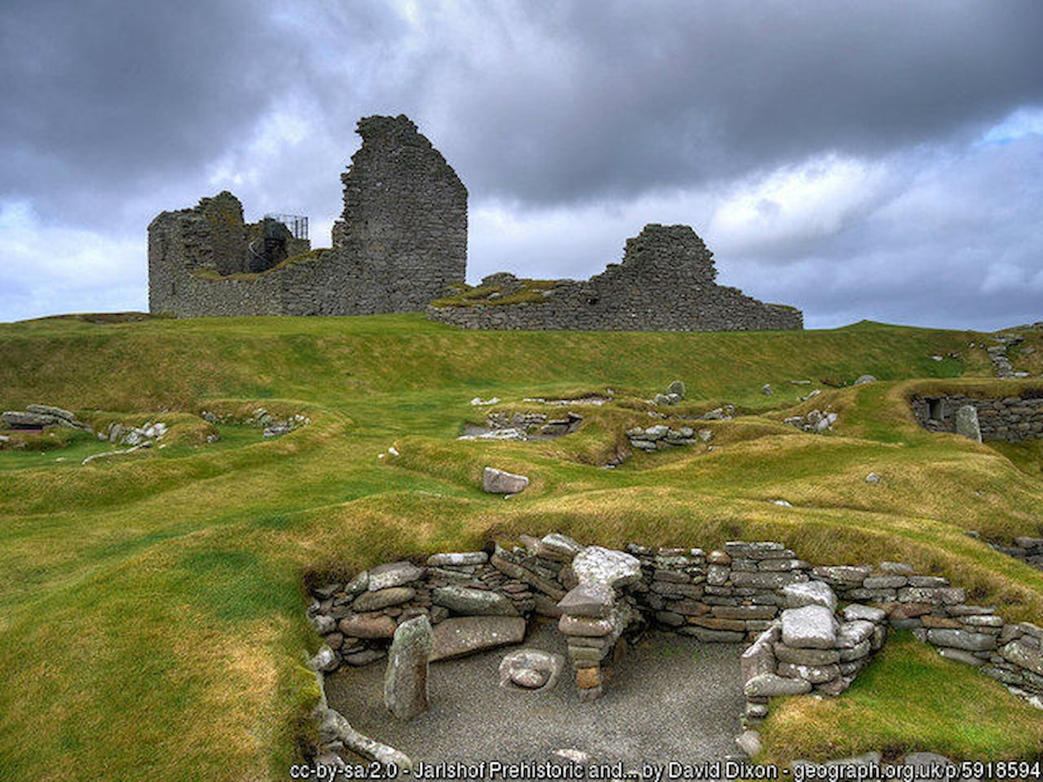
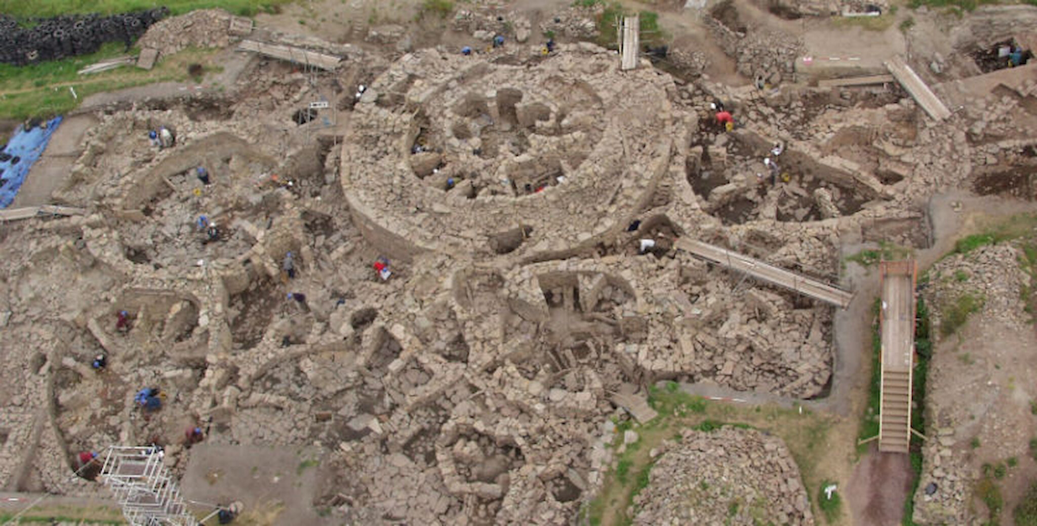
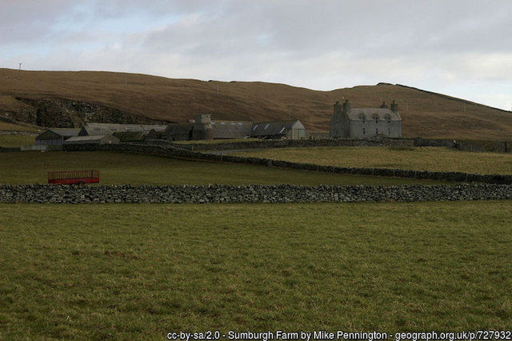
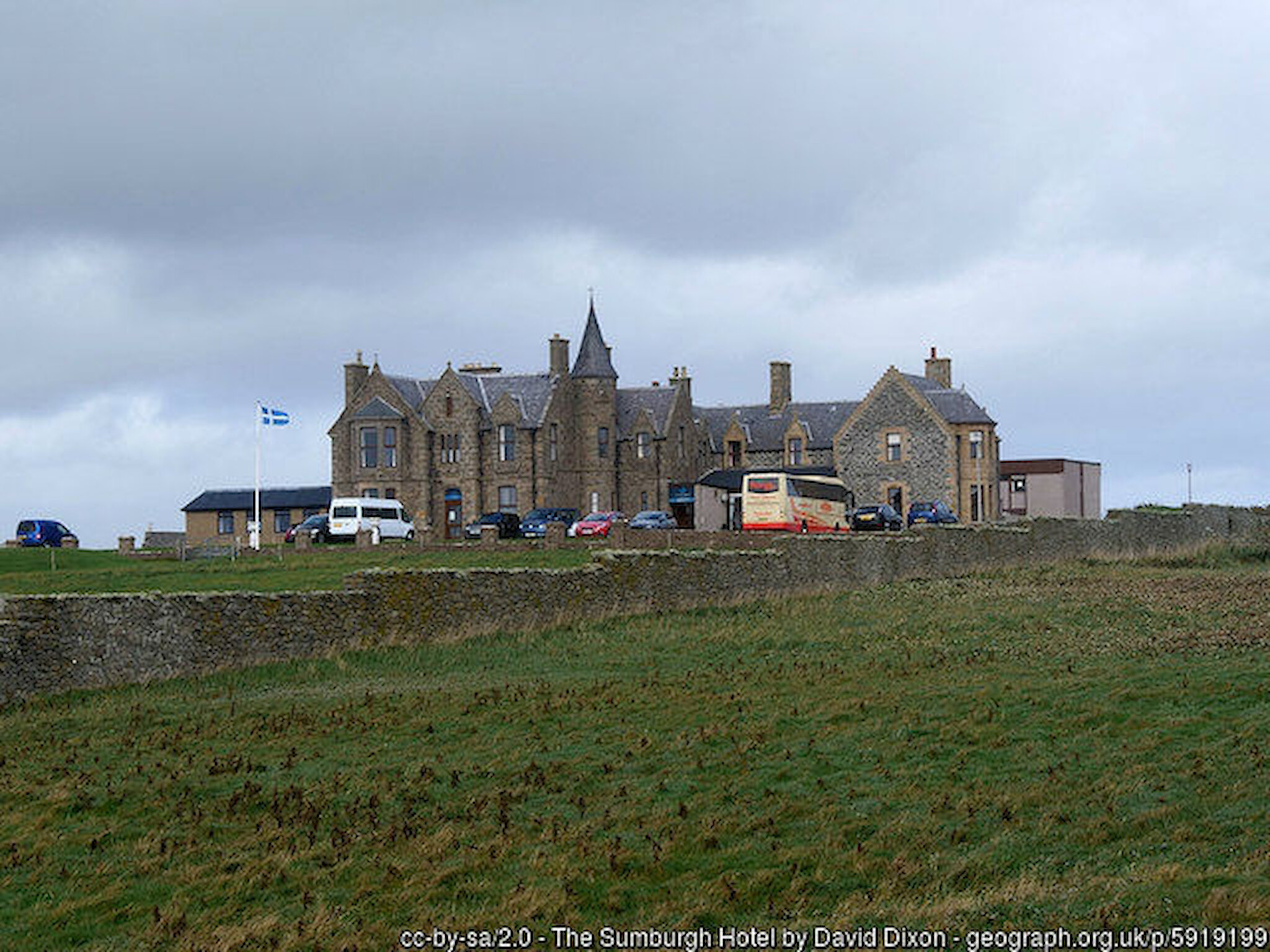
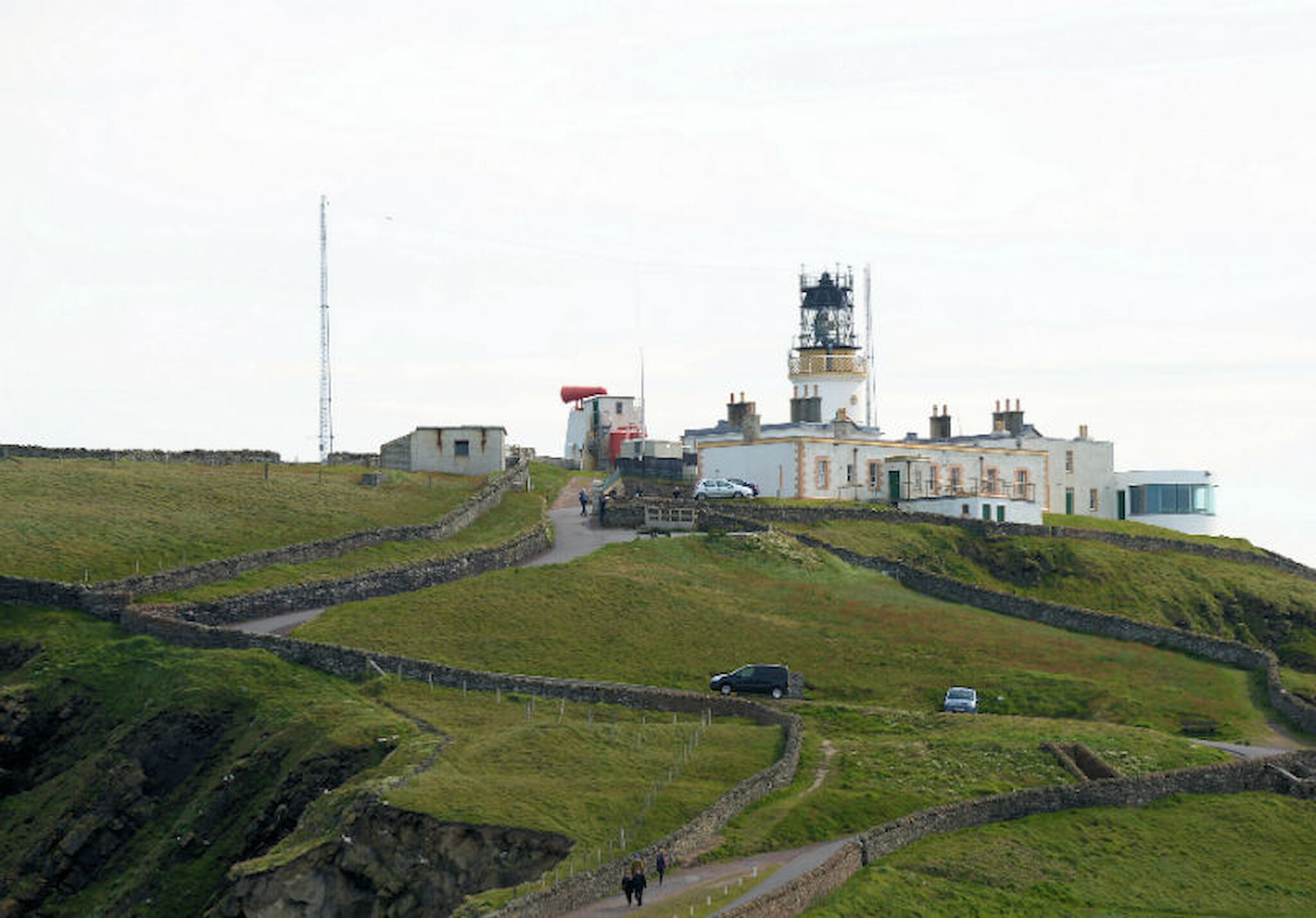
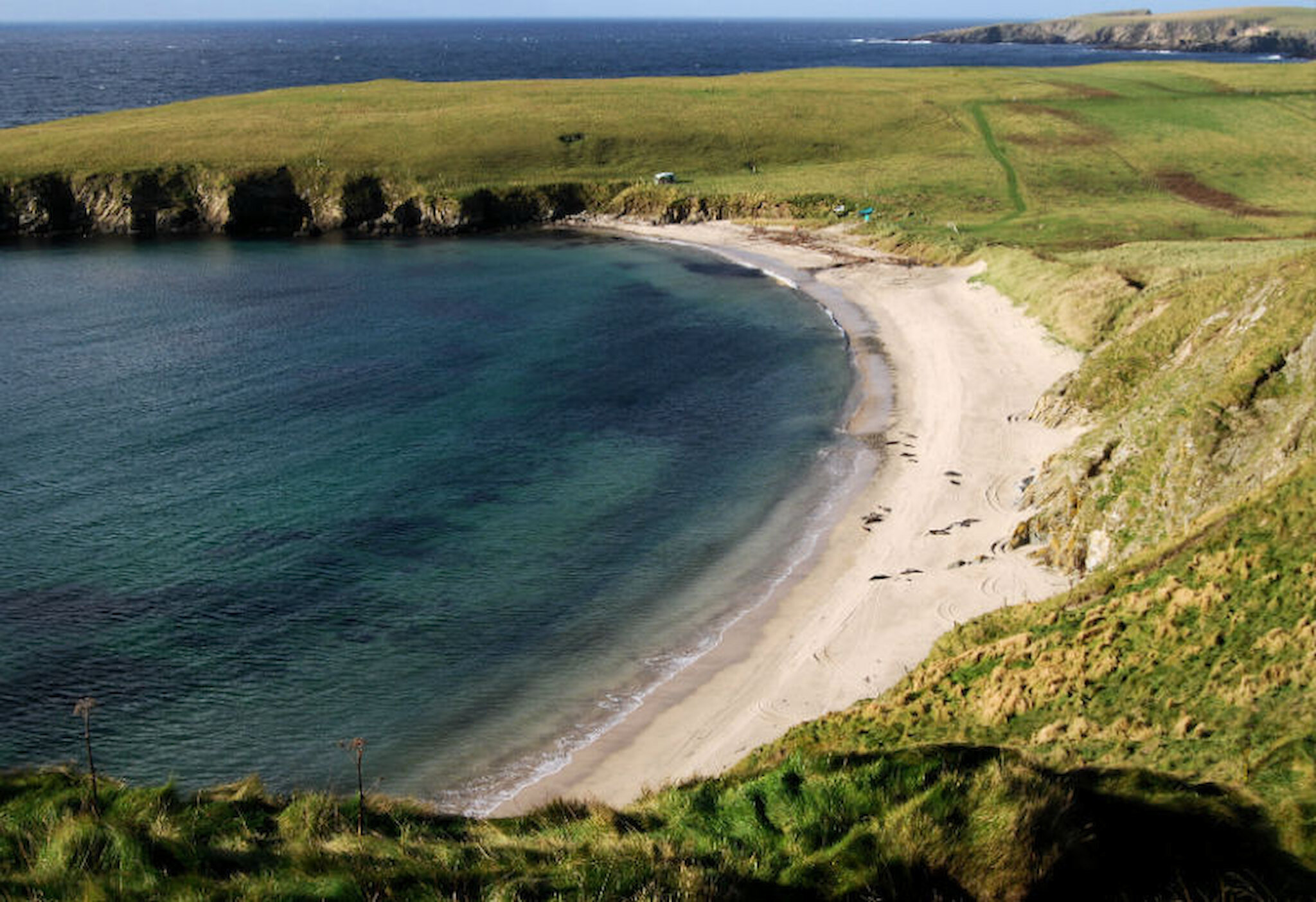
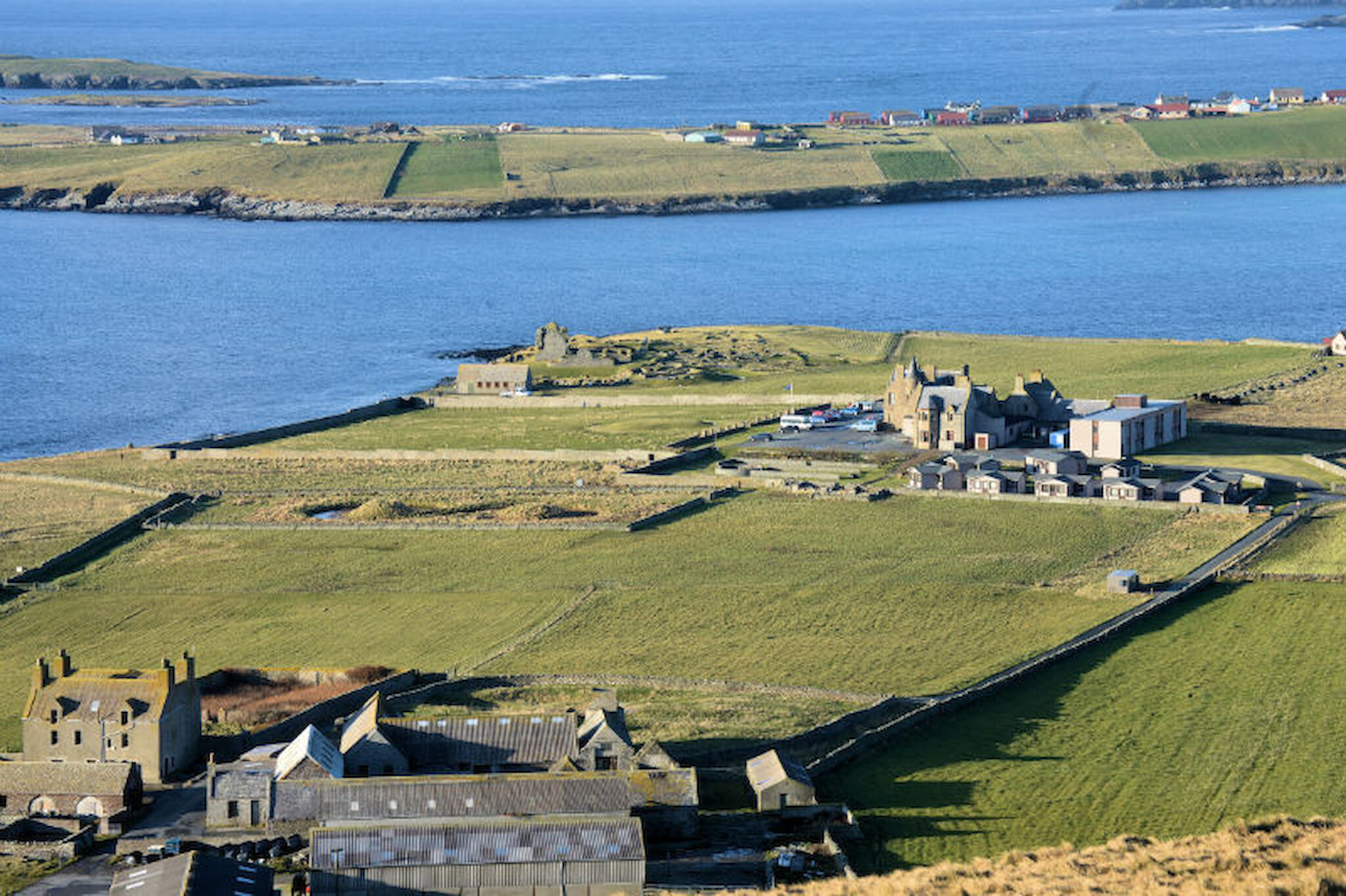
Shetland’s south mainland is a fascinating part of the islands, and nowhere is that fascination more concentrated than in a couple of square miles at Sumburgh, the southern limit of the mainland. Here, a day’s walk encompasses almost five millennia.

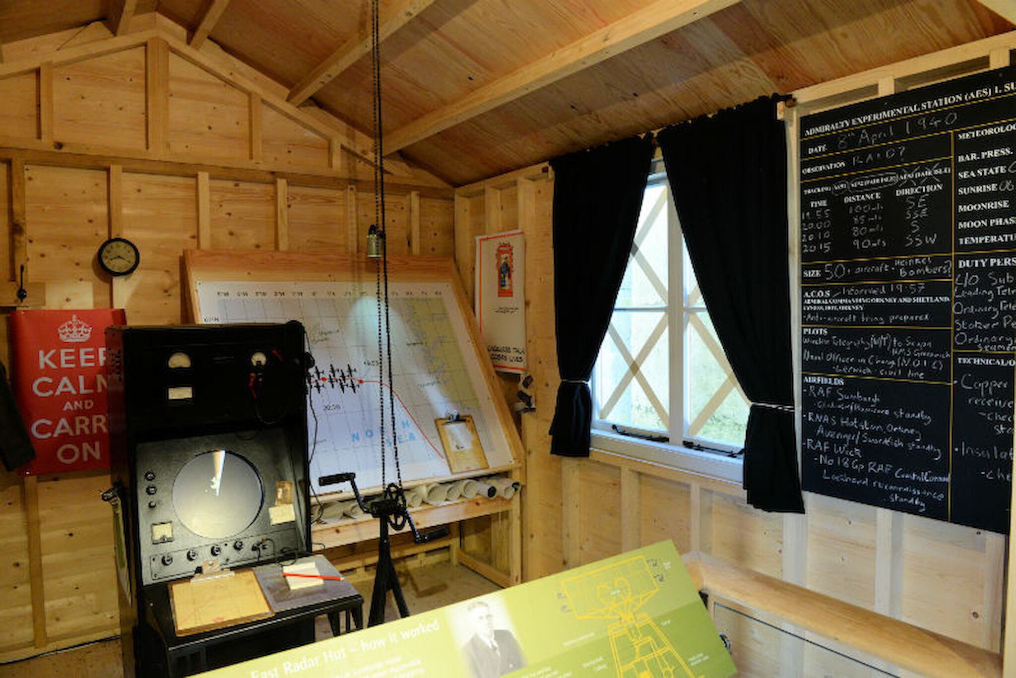
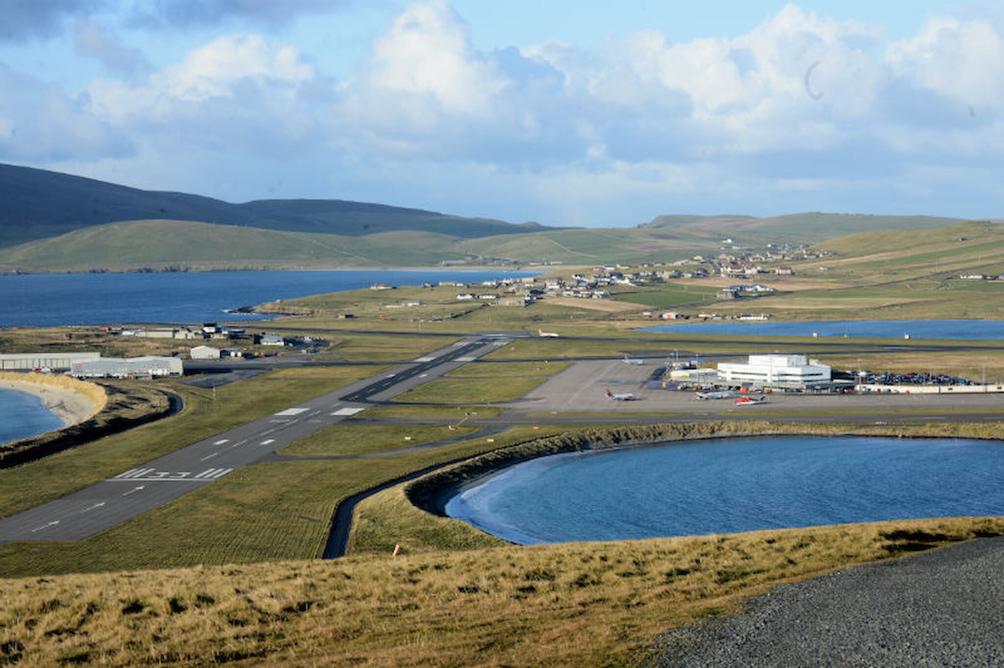
It's easiest, though, to consider the area’s story chronologically. The evidence of human activity goes back to the Neolithic, but here, too, is Shetland’s main airport. The threads connecting ancient to modern are unbroken and, sometimes, interwoven.

Jarlshof

Two of Shetland’s largest archaeological sites – Jarlshof and Old Scatness - lie here, less than a mile apart.

Habitation at Jarlshof, seen on the left of the aerial photograph, spans around 4,200 years, testament to the fertile soil thereabouts and the easy access to sea fishing. Also visible on this photograph are Sumburgh House (now Sumburgh Hotel) and Sumburgh Home Farm, together with another interesting feature, an S-shaped pond.

The three-acre site was initially home to Neolithic people, who would have arrived here from northern Scotland via Orkney and Fair Isle, a route on which, in clear weather, they would never have been out of sight of land. There’s a Bronze Age, oval-shaped house, and a rich legacy from the Iron Age that includes a broch and superbly-preserved wheelhouses. Later, the Vikings arrived, building their characteristic Norse longhouses.

Finally, during the late 16th and 17th centuries, a medieval manor house was constructed by Earl Patrick Stewart, a grandson of King James V. It was occupied by the Bruce family, with whom Patrick fell out, as he did with so many others. In 1814, the old house was seen by Sir Walter Scott during a visit to Shetland and he dubbed it “Jarlshof” in his novel, The Pirate.

Jarlshof has been justly described as “one of the most remarkable archaeological sites ever excavated in the British Isles”. Discovered by John Bruce of Sumburgh in 1897, after a violent storm, it was protected as an ancient monument from 1925 and was excavated by John Hamilton, Inspector of Ancient Monuments, between 1949 and 1952. Today, a visitor centre and good signposting help visitors get to grips with all that the site has to offer.

Old Scatness

The remains at Old Scatness (above) lie an easy stroll from Jarlshof, and most of the walk is along the sands of the West Voe of Sumburgh. The discovery and excavation of the site were much more recent and the evidence so far suggests that this may have been a slightly later settlement than Jarlshof. That said, there may have been Neolithic or Bronze Age settlement in this area, too, which has yet to be revealed.

The side of a broch was exposed when a new access road to Sumburgh Airport was being constructed in 1975. An excavation managed by the University of Bradford, between 1995 and 2006, revealed not only the rest of the broch but a large Iron Age village. An important benefit of that later exploration was that the most modern archaeological techniques could be applied, meaning that the volume and quality of information derived from Old Scatness is much greater than at Jarlshof.

the most modern archaeological techniques could be applied

That said, there are many similarities between the two sites. Although it so far seems that occupation at Old Scatness began later, Norse settlers appear to have re-used the buildings. What’s more, the lumps and bumps in the field immediately to the south suggest that this ancient community may be much larger, and may span a longer period, than the area that’s been excavated so far.

The broch dates from between 400BC and 200BC and it’s surrounded by roundhouses of similar date. Later, there were adaptations in the creation of a Pictish village, resulting in a cellular arrangement. The finds included a stone with a carving of a bear; we can only guess at its significance.

Like Jarlshof, Old Scatness is open to visitors and they are able to explore not only the ancient settlement, but reconstructed buildings that demonstrate how the structures might have looked when the site was occupied.

Sumburgh Home Farm

It seems that, once the old house at Jarlshof no longer met the family’s needs, a replacement was built a little way to the east, which we now know as the Sumburgh Home Farm. It’s thought to date from the late 17th century and is still very much a working farm. As well as the house itself, extensive barns enclose a quadrangle and there’s a kiln, too.

One modern feature is a red warning light on a chimney, for the building lies very close to the flight path for aircraft landing on the secondary runway (33) at Sumburgh. When that runway is used, passengers find the final approach quite dramatic. The aircraft flies close to the Sumburgh lighthouse then, about 20 seconds later, banks sharply to the left around the farm. There’s a (rather shaky) video of the approach here and several others exist on YouTube.

Sumburgh House, now Sumburgh Hotel

The next development in this sequence was the next Sumburgh House, or Sumburgh Hotel, as we know it today, a good place to pause for tea or coffee, or lunch. In 1867, the Bruce family moved here from the farmhouse and it was extended in 1897. The original building is a fine example of the work of the architect, David Rhind, who – seven years later – was responsible for the County Buildings (including the Sheriff Court) in Lerwick that feature prominently in BBC1’s Shetland TV series. The RAF had a base at Sumburgh during the war and the hotel accommodated personnel.

Much later, in the mid-1970s, a further extension was added to help cope with the demand for accommodation as oil-related development increased around Shetland. The former walled gardens, which have some shrubs and trees, are a popular place to search for rare migrant birds that make landfall here.

The S-Shaped Pond

Just a little to the south-east of the hotel, another walled area contains something that catches the eye, particularly if you’re in an aircraft or are looking down from Compass Head, the S-shaped pond. I discussed its origins with a local historian, Andy Flaws.

The pond was dug, by hand, for the Bruces, probably around the time that the house was constructed, apparently as a motif for the Sumburgh Estate. As the earlier image demonstrates, it’s clearly visible from the air and it can be seen obliquely from the Sumburgh Hotel garden and from Compass Head, to the east.

Given how close the S is to Sumburgh Airport, the military realised, during the war, that the pond would be a very visible landmark for enemy aircraft. Andy Flaws told me that it was camouflaged using a wire mesh framework, on which strips of cloth were laid. In our conversation, we speculated as to the pond’s construction; it may be fed by a spring or stream and was probably lined with clay, because the soil hereabouts contains a fair amount of windblown sand and is quite porous.

Sumburgh Head: The Lighthouse

It’s a gentle walk, partly uphill, to the lighthouse at Sumburgh Head, which has been guiding seafarers since 15 January 1821. One of many designed by the Stevensons, it took two years to build and is of very solid construction, the tower having a cavity wall in which the outer leaf is four feet thick.

Some of the buildings accommodated the lighthouse keepers and their families but the light was automated in 1991, leaving surplus accommodation. Today, the buildings – apart from the lighthouse tower itself – are owned by the Shetland Amenity Trust and have been converted and extended to create a visitor centre that introduces the history of the lighthouse and the natural history of Sumburgh Head. The buildings also house a café, RSPB offices and self-catering accommodation.

The site also played a part in the defence of Britain during the Second World War. A radar installation here successfully identified a fleet of enemy aircraft that was heading towards Scapa Flow in Orkney, then a major British naval base. A warning was passed to the RAF and what could have been the British version of Pearl Harbor was averted. The interior of the radar hut has been restored internally to its wartime appearance, including the bicycle-style foot pedals that the operators used to turn the aerial. These were early days in the history of that technology!

Sumburgh Head: The RSPB Reserve

The Sumburgh Head RSPB reserve is one of the best places in Britain to get close to seabirds, especially puffins, though the cliffs are also home to fulmars, guillemots, kittiwakes and shags, not to mention a surprising number of rabbits with a head for heights. This is also a favourite place to scan the surrounding waters for whales and dolphins, and there are often seals to be seen on the rocks far below.

Sumburgh Airport, one of the two main points of entry to the islands, also has an interesting history, if necessarily much briefer than most of its neighbours. An aircraft – a De Haviland Dragon Rapide - first landed here on 3 June 1936, piloted by a pioneer of aviation in the Highlands and Islands, Capt. E E Fresson, who had surveyed the site earlier that year. The firm’s planes then established a scheduled service.

Fresson had flown in the Royal Flying Corps in the First World War, then spent some years in aircraft construction in China before returning to Britain and setting up Highland Airways.

Between 1939 and 1945, RAF Sumburgh played host, at various times, to more than 40 different RAF or naval air squadrons and a unit of the Royal Canadian Air Force. Substantial numbers of aircrews and support staff were billeted in homes in the surrounding area, including for example with relations of Andy Flaws at Grutness, just to the north-east. Some were also accommodated in Sumburgh House or in specially-built huts.

An aircraft – a De Haviland Dragon Rapide - first landed here on 3 June 1936

Today, the airport is operated by Highlands and Islands Airports Limited and it handles Loganair flights to and from Aberdeen, Kirkwall, Inverness, Edinburgh, Glasgow and, seasonally, Bergen. Close to a quarter of a million passengers pass through it every year, along with mail, newspapers and other freight. Oil-related services use the airfield and a Coastguard helicopter is based there.

And there's more...

So much, within a very small compass, and easily seen on foot in a day; but stray a little farther – no more than ten or fifteen minutes by car – and this part of Shetland has many other things to see and do. Archaeology enthusiasts can explore the Ness of Burgi, a remarkable stone blockhouse not far to the south of Old Scatness, or head north for the passenger ferry to the finest broch to be found anywhere, on Mousa.

The restored Quendale Mill is well worth a visit, as is the Croft House Museum. There are beaches too, right by the airport but also farther west and north, at Quendale, Spiggie and – a favourite haul-out for seals - Rerwick.

And there are small surprises, like the erratic at Dalsetter, a rounded stone that now forms part of a field boundary. It came all the way from the area around Tönsberg in southern Norway, carried across the North Sea during the Ice Age. If any others made that journey – which seems possible – they have yet to be discovered.

All in all, this corner of Shetland really does repay exploration.