• Home
  • Blog
  • Stacks of scenery: a coastal walk in Northmavine
By Alastair HamiltonJuly 29th 2020
Alastair Hamilton

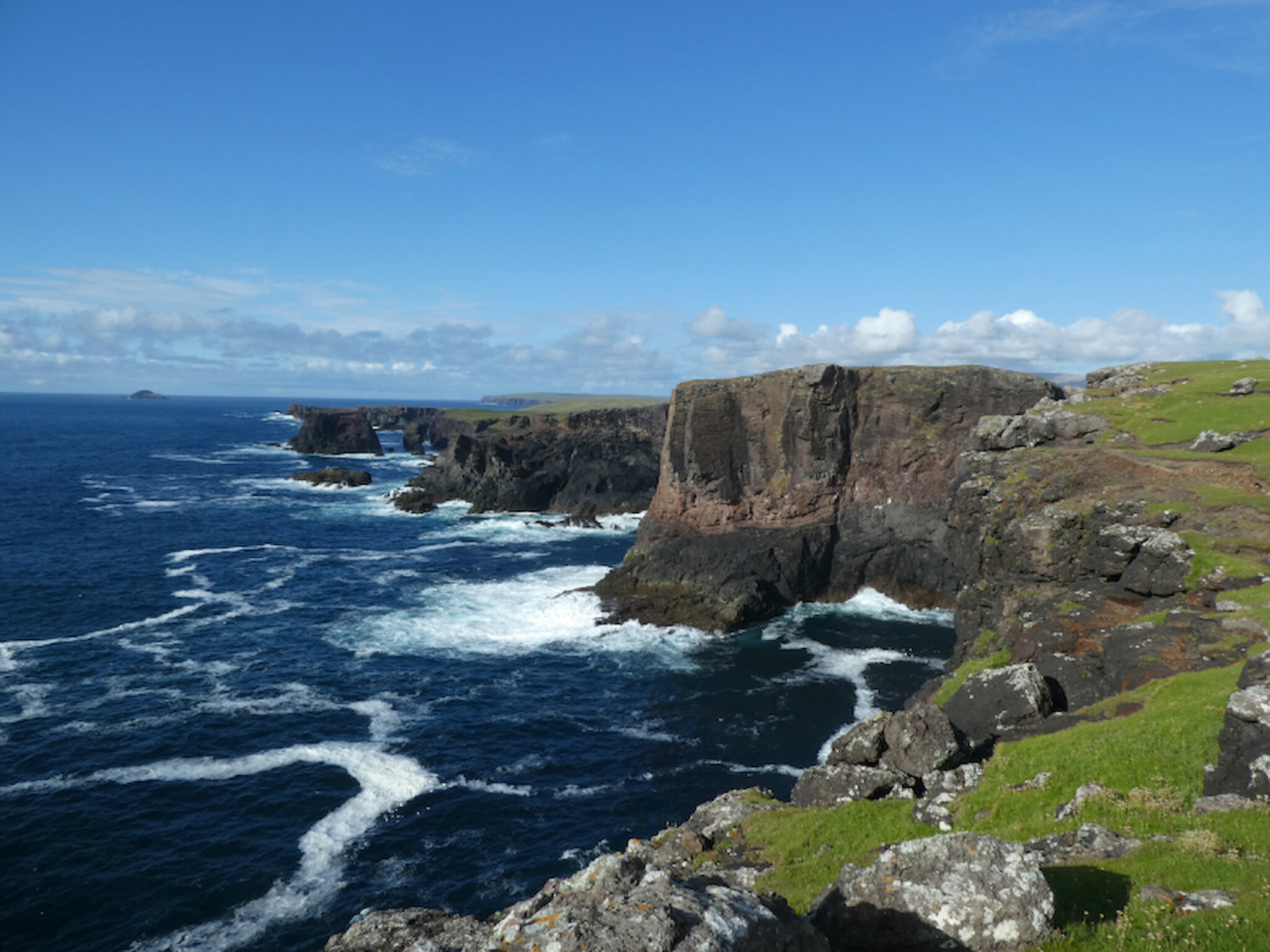
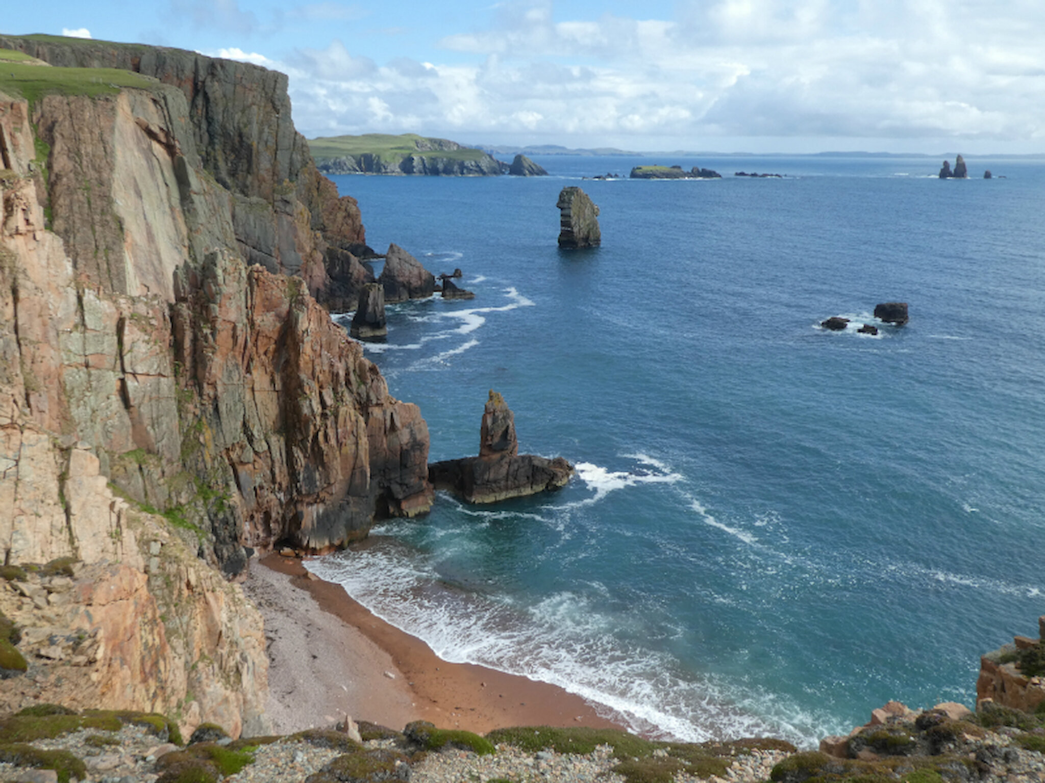
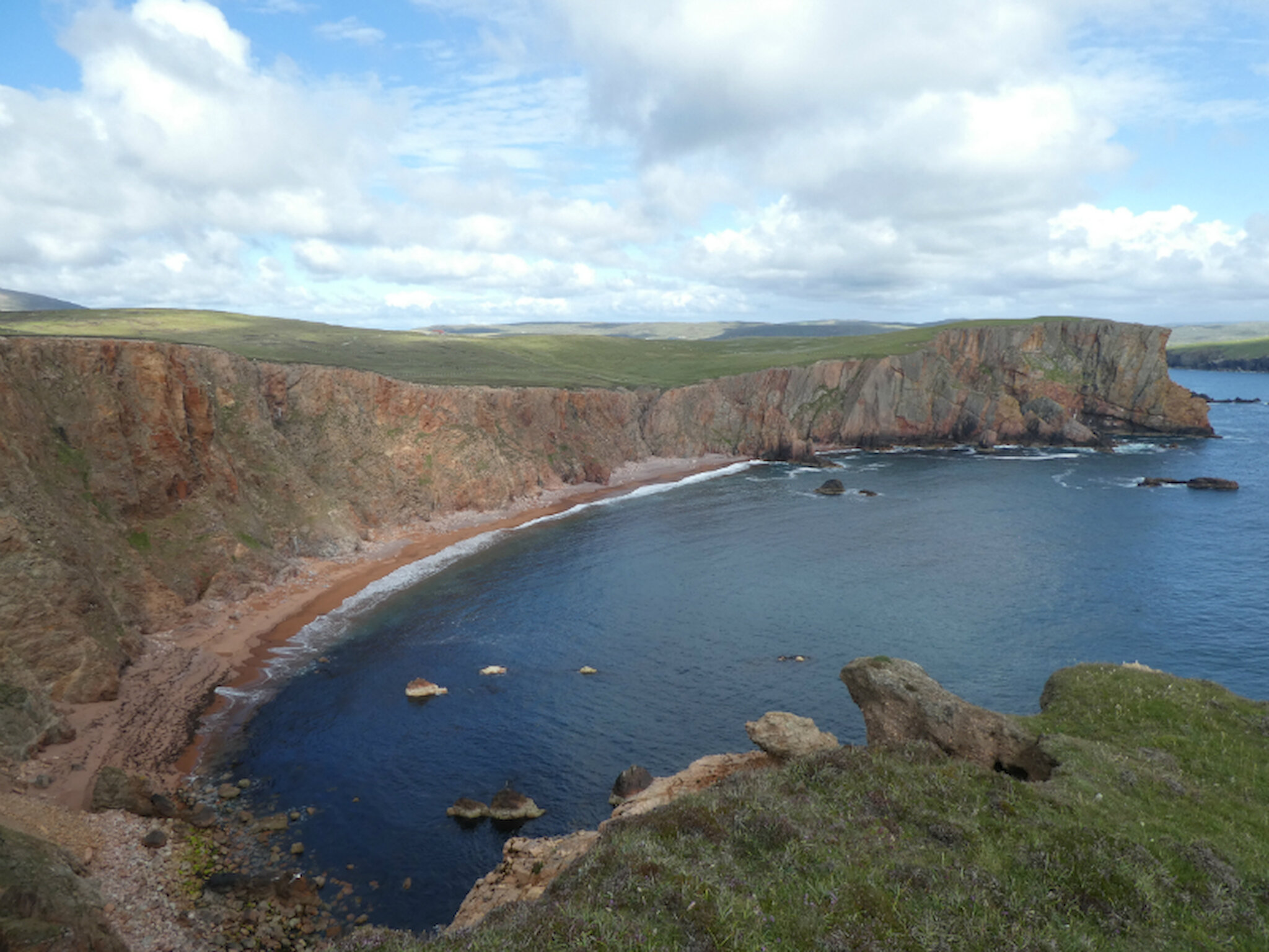
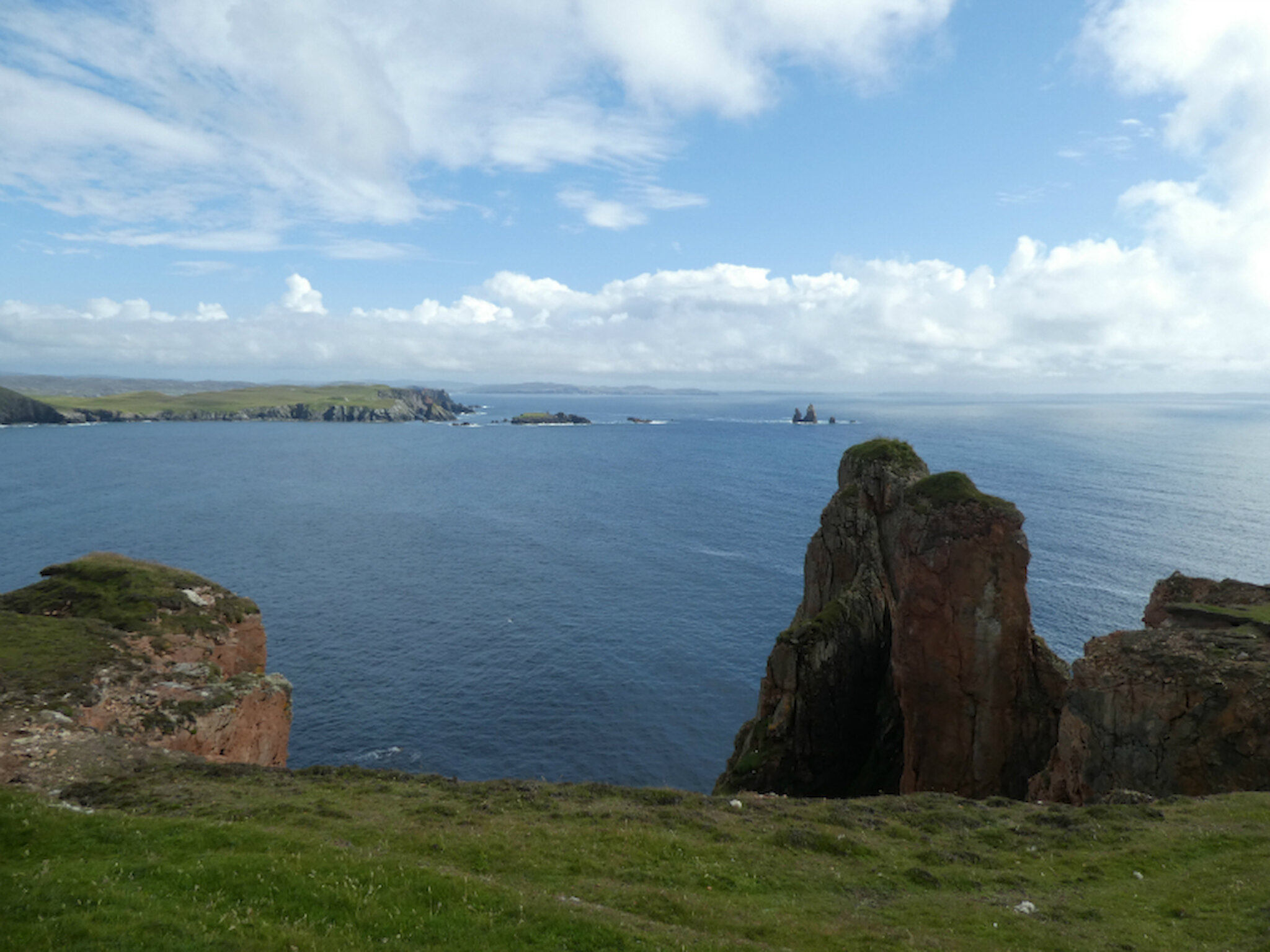
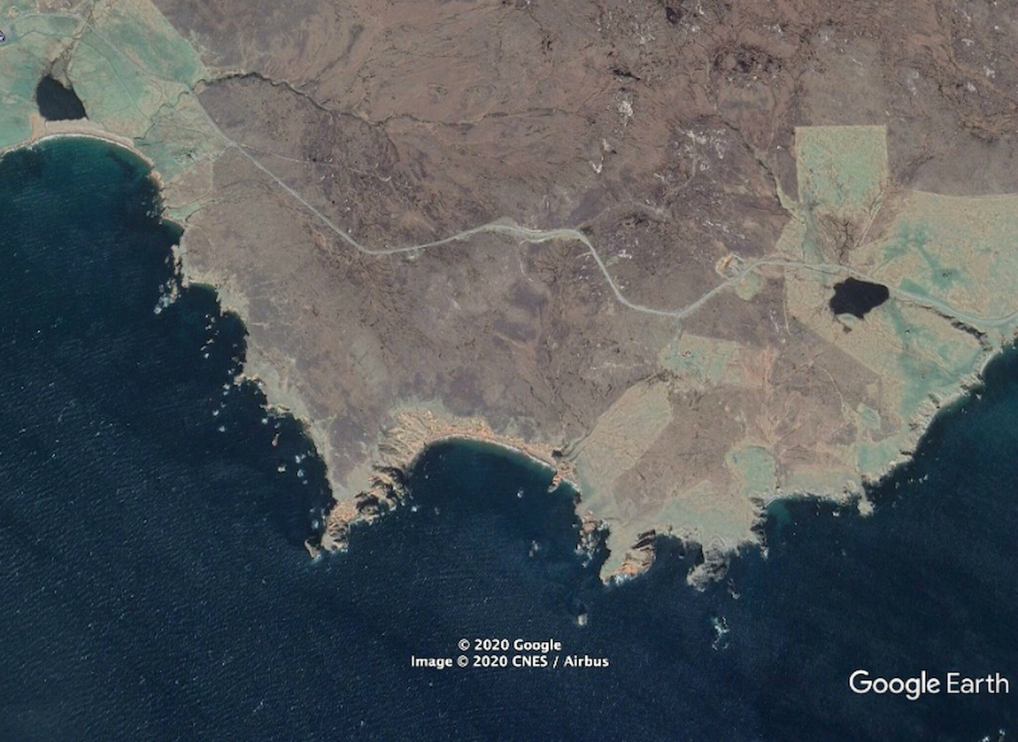
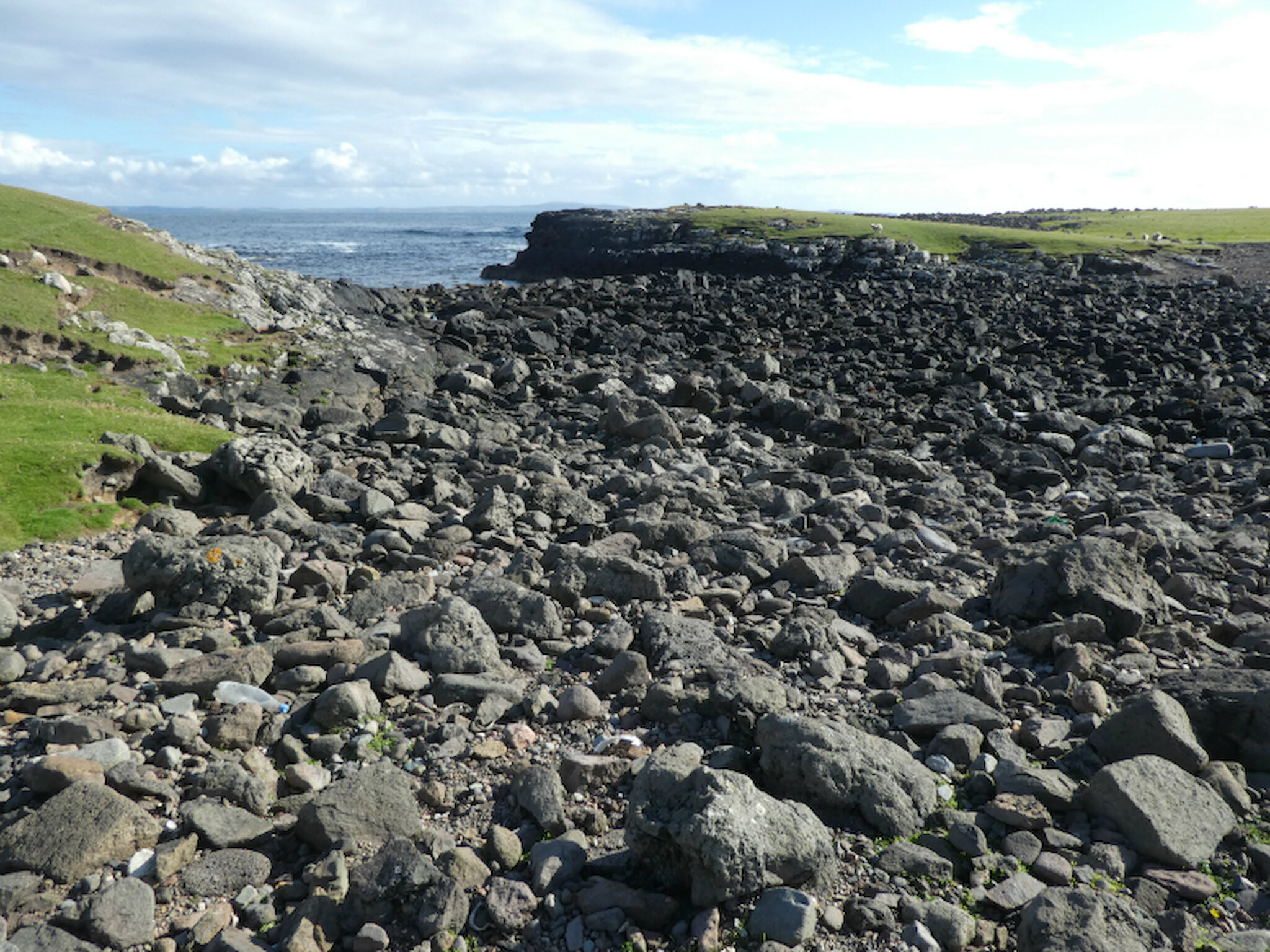
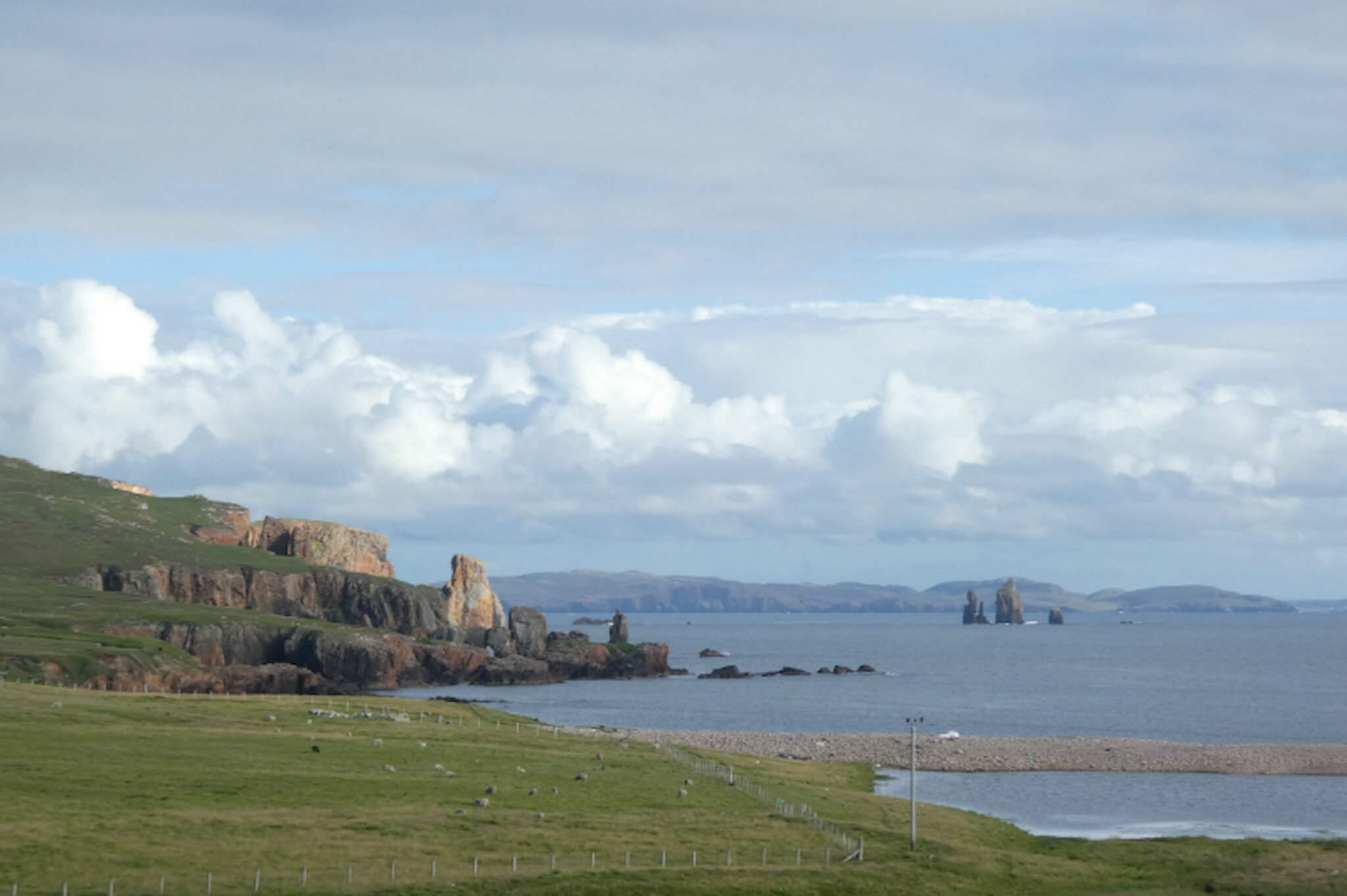
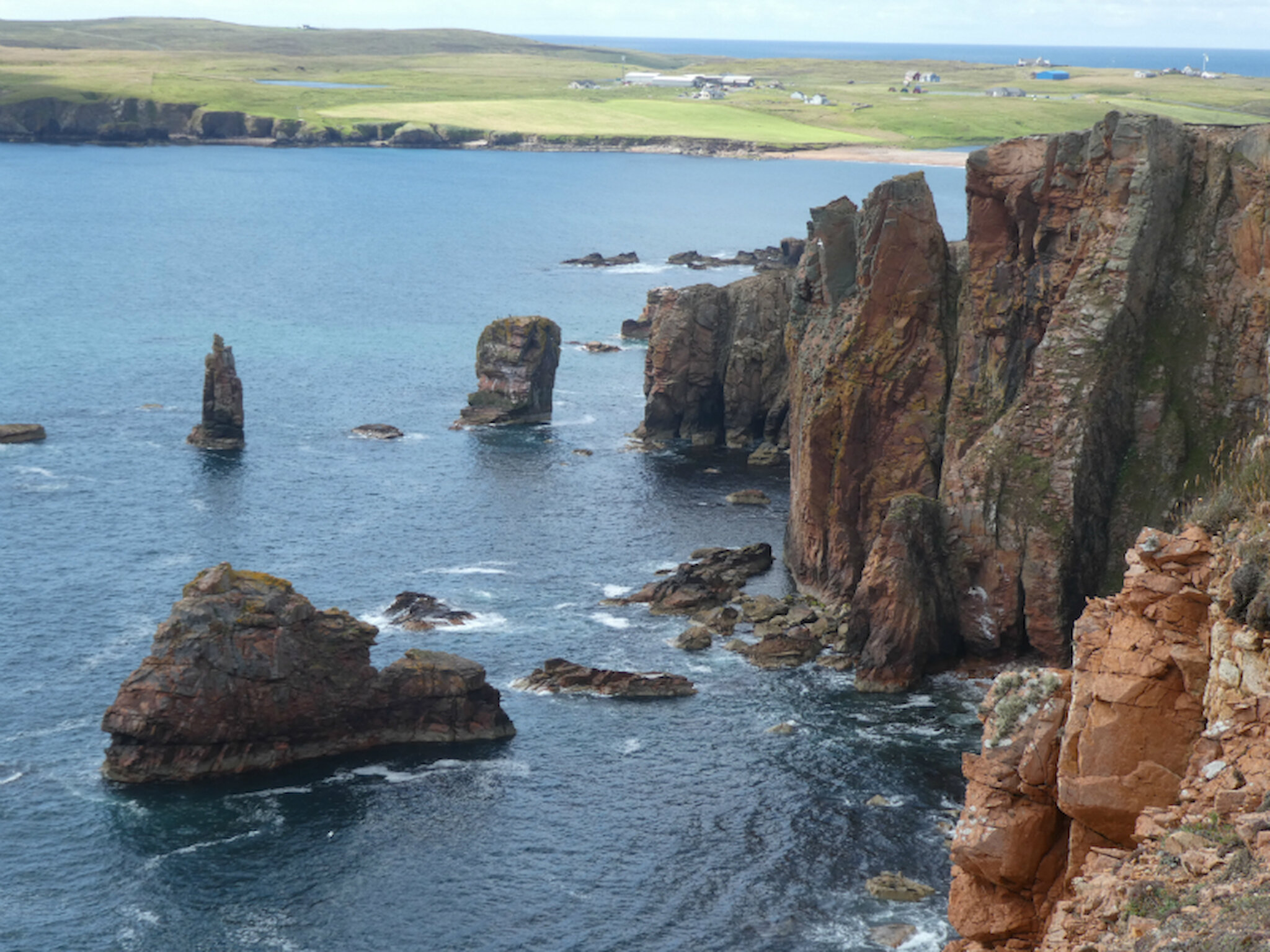
Every part of Shetland has much to offer, but there are a few places that any local will always want visitors to see. Our lists vary, but mine would include, from north to south, Unst (apart from having the most northerly example of everything, beautiful and with a very visible Viking past); Eshaness (those cliffs, and the walks above them); Weisdale and the westside (wonderful views, intriguing archaeology and mini-forests); and the south mainland, with the spectacles of St Ninian’s Isle, Sumburgh Head and lots more archaeology, some of it among the most impressive in the UK.

However, there’s so much more, and it’s all too easy to overlook many more delights on our doorstep.

I mentioned Eshaness, and, sure enough, hundreds of people go there to enjoy those cliffs, shown above.

But the district of which it’s part, Northmavine, has so many other places that demand a visit. There’s the walk to Fethaland, where a long-abandoned fishing station calls to mind the hard life of previous generations of fishermen. There are more cliffs around Uyea; Shetland’s highest landmass, the 450m (1,476 feet) Ronas Hill; and lots of secluded inlets down the west coast of the district.

You could easily spend two or three days exploring all this - and this is just one small corner of Shetland.

I did one walk in the area recently, which, if social media postings are any guide, has recently become another must-do. It offers coastal scenery that’s rather different from Eshaness, but just as spectacular.

It’s easily done as a 3-hour circular route, as recommended in Peter Guy’s Northmavine volume, part of his indispensable series on walking the coastline of Shetland; but shorter sections can be tackled, too.

The full circular walk can be started either at Braewick Loch, as Peter recommends, or at any point on the road where you can safely park a car or bikes. It takes in several headlands and reveals a spectacular cliff-backed beach.

However, it’s not just the foreground of cliffs and stacks that makes this outing so special. There’s a more distant panorama that takes in the whole of St Magnus Bay, with views across to the Ness of Hillswick and, to the west, Papa Stour and Foula.

One thing that I’d want to stress, though: it goes without saying that cliffs are dangerous places; but they’re especially so if the grass above them is wet and slippery. In those conditions, there are parts of this walk (especially just west of the headland known as the Neap, above the beach) where steep slopes mean that you should keep much farther away from the edge than you otherwise might. Beware, too, of rabbit holes – there are quite a few!

Incidentally, people do manage to scramble down a gully to that beach, but I can’t recommend it; it’s challenging and risky, and definitely not to be contemplated if you’re on your own, or aren’t fully fit.

The photographs speak for themselves, but what is it about this area that has created all these wonderful landscapes and seascapes?

The answer lies in its geological history and also, of course, in the constant exposure to the worst that the North Atlantic can throw at this corner of the islands. At some points around Northmavine’s coast, improbably large rocks have been thrown up onto clifftops or much farther inland than you'd expect, for example at Stenness (below), just a little way to the west

The rocks across the entire area are the product of volcanic action; however, there’s a theory that an even more violent event may have occurred. It’s possible that St Magnus Bay could have been formed by the impact of a large meteorite, possibly 500m in diameter, creating a crater 11km across and perhaps 1,000m deep. If that’s what happened, St Magnus Bay would be one of the larger such features on Earth; and the impact would very likely have triggered volcanic activity on a large scale.

St Magnus Bay would be one of the larger such features on Earth

Partly because of that history, but also because the rest of Shetland’s geology is remarkably complex, geologists have devoted a lot of time and effort to understanding it. You can find out more on our dedicated geology page.

I’ve already mentioned some of the natural highlights of Northmavine, but the district's human history is fascinating, too. Although it won’t now re-open until 2021, the community-run Tangwick Haa Museum offers many insights and of course – as everywhere in Shetland – it’s not hard to track down evidence of ancient peoples.

There’s also the intriguing story of the Gunnister Man, discovered in 1951 in a peat bog, with remarkably well preserved clothing. You can find out more in this downloadable leaflet prepared by the Shetland Museum and Archives.

If your wanderings leave you hungry and thirsty, you can put that right very easily. The Braewick Café serves delicious snacks and meals, with a terrific view across St Magnus Bay to the stacks known as the Drongs. There’s an adjacent, well-equipped campsite (above) that includes timber ‘wigwams’.

In Hillswick, the timber-built St Magnus Bay Hotel is a Listed Building with an interesting history, and they, too, will satisfy any appetite with lovely food in portions of legendary generosity. Hillswick also has a community-owned shop where you can stock up on everything you need for a picnic.

Last but not least, if you really want to immerse yourself in this rewarding district, you can of course stay at the hotel or the campsite, or in any of the B&Bs or self-catering options in the area. There’s a list of these and lots of other information for visitors on the very useful Northmavine Community Development Company website.