• Home
  • Blog
  • Shetland Place Names - Signposts to the Past
By Eileen Brooke-FreemanMarch 22nd 2011

As you study maps or travel through Shetland, you cannot fail to notice the place names. You may wonder how to pronounce them and what on earth they mean. As well as helping us find our way in the world, place names are an important component of our cultural heritage, providing vital clues about the environment, history, geography, and the people who lived here in the past: where they came from, what language they spoke and how they used the land.

Origins

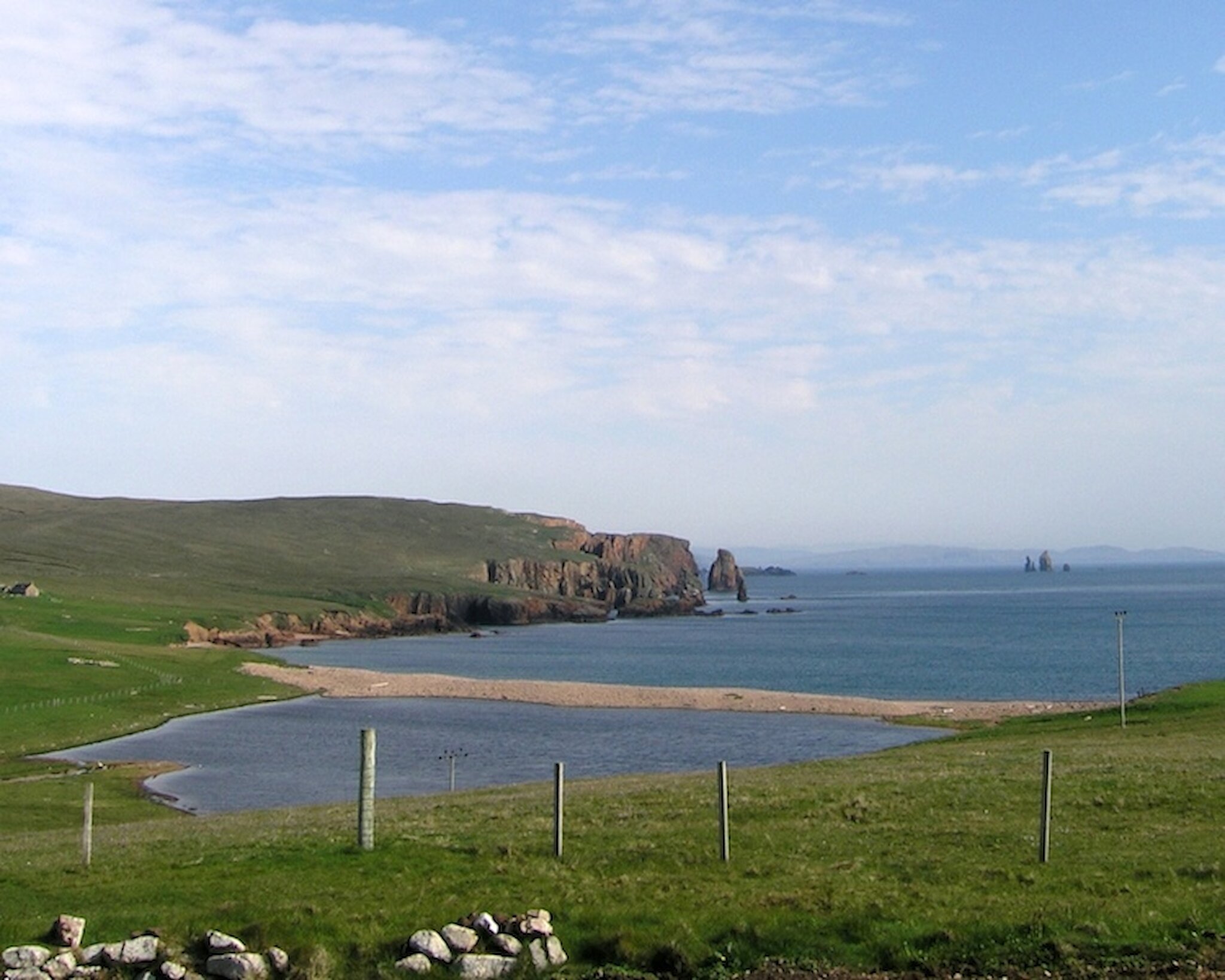
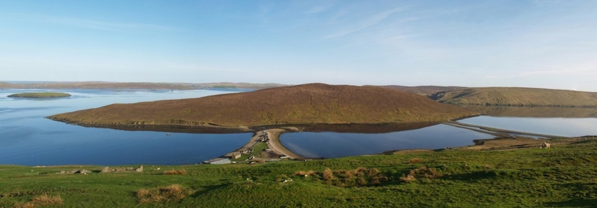
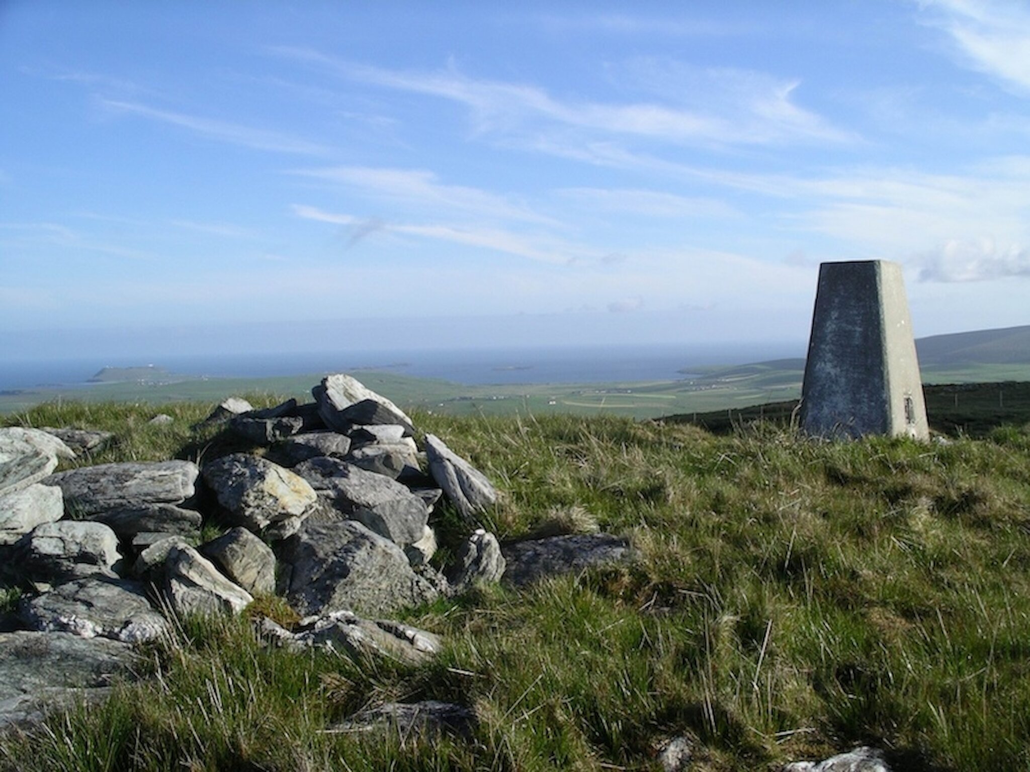
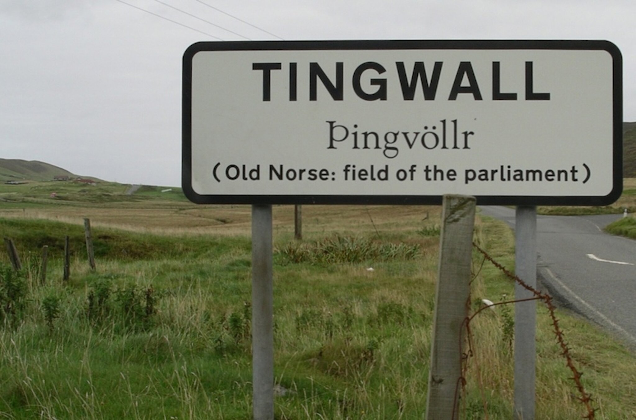
Shetland's place names reflect our strong Norse heritage, with subsequent Scottish and English influences. Settlers from Norway arrived around 800 AD onwards, bringing with them a vast repository of highly descriptive words suitable for naming every feature of the landscape (both natural and manmade) as well as a stock of actual place names that were in use in Western Norway. Subsequently their names replaced most of the original names. The language they used was Old Norse (or West Norse) from which Norwegian, Faroese and Icelandic are derived. In Shetland and Orkney, a language called Norn developed and was spoken until the seventeenth century. This extensive period of Scandinavian influence resulted in the majority of place names in Shetland today having roots in Old Norse. These place names have many parallels in Orkney and the Western Isles and throughout Scandinavia. However, many names have been modified through time and spelling changes often mask the true origins. Listening to the local pronunciation can help point to the root word and therefore unravel the meaning.

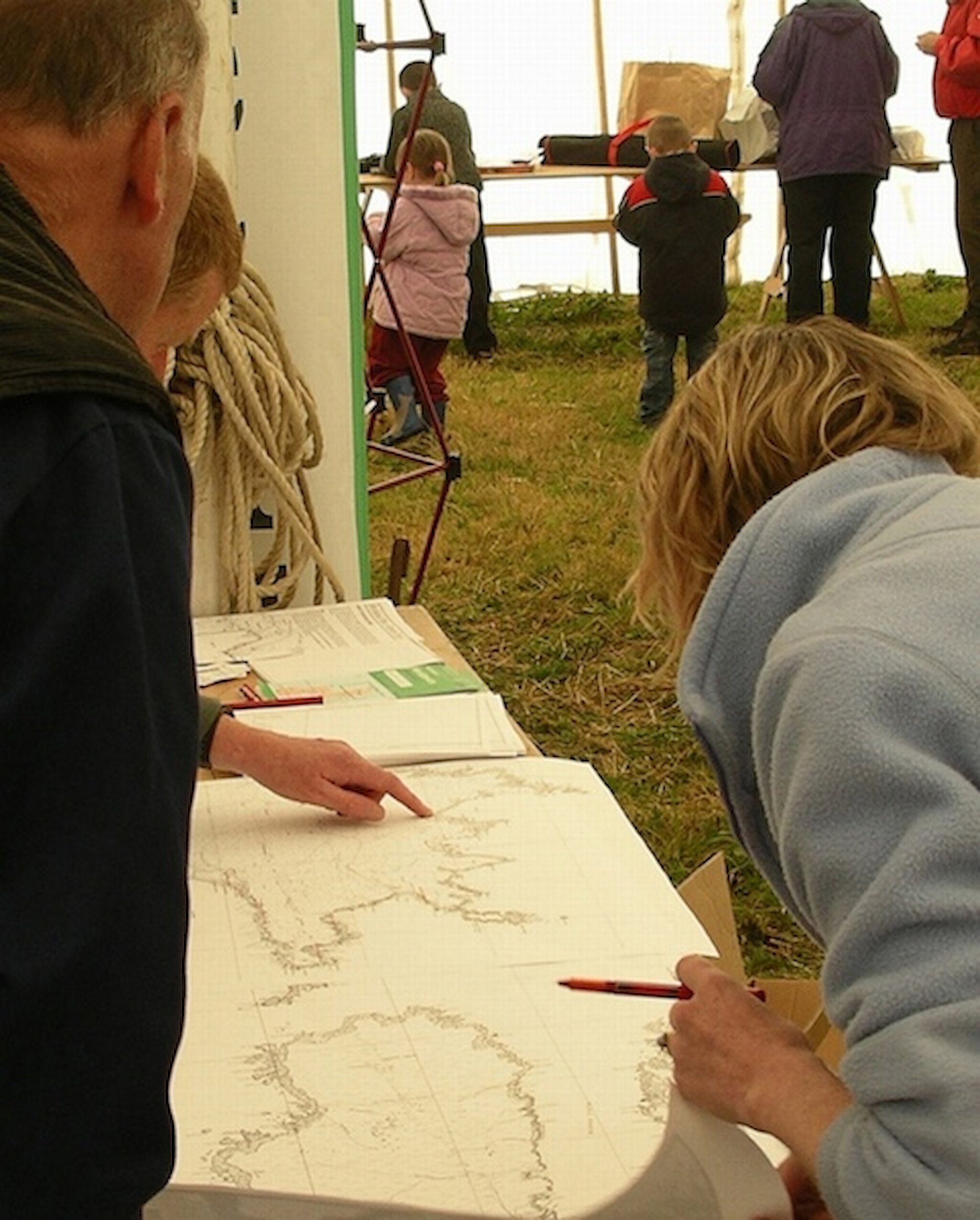
Whilst many place names have been lost or forgotten over the centuries, vast quantities are preserved orally and are recorded in a wide range of documents. Shetland Amenity Trust's Shetland Place Name Project is trying to pull together all known sources and all previouslymaterial to help understand how our ancestors interacted with the landscape.

Coastal names

Some of the first places to be named may have been the islands. Names ending in a, ay or ey derive from øy meaning an island. Burra is the broch isle, Whalsay the whale isle and Gruney the green isle. Papa Stour means the big island of the priests. Small islands are called holms.

Places with wick, firth and voe names describe bays of different shapes. Names like Waas, Voe and Scalloway come from the Old Norse vagr. Many of the U-shaped víks would have been popular landing places. Excavations at Sandwick in Unst revealed two Norse farmsteads just above the sand. This is the earliest Shetland wick name to be documented (in a land conveyance of 1360). Lerwick is the clay or muddy bay, and Braewick the broad bay. Gulberwick, first mentioned in the Orkneyinga saga, is named after a woman called Gullbera.

Shetland's coastline boasts many stacks and skerries. Their names sometimes reflect the associated wildlife, such as cormorant (Skarfi Skerry), sea eagle (Ern Stack), raven (Ramna Stacks) and boar (Galti Stacks). Drangr (pointed rock) is the root word for the impressiveof rocks at Eshaness called Da Drongs.

Headlands are called nesses, tongues of land are taings, and the many inlets or ravines are called geos. Mail or Meal names come straight from the Old Norse melr meaning sand. Over 150 beach names incorporate the word ayre (beach or narrow spit of sand, shingle or pebbles). Particularly interesting examples are tombolos - spits that join an island to the mainland. The Ayres of Swinister, Delting is a spectacular example of a triple ayre with tidal houb (lagoon).

Aith names signify an isthmus. Mavis Grind (the gate of the narrow isthmus) is possibly the only place in the United Kingdom where you can stand in the Atlantic Ocean and throw a stone overland into the North Sea. This narrow neck of land was regularly used until the 1950s as a crossing point for boats – they were hauled overland to avoid the long journey around the north mainland.

Land names

Many names describe the terrain: breck and lee names refer to a slope, hamar means steep rocky wall, kame describes a comb or ridge of hills, whilst dale names (Quendale, Weisdale, Deepdale) are given to valleys. Varða means a cairn on a hilltop and gives rise to the many wart, ward and vord hill names. Cairns are located in prominent places with clear lines of vision to other warts, and as many as 20 have modern trig points.

Some lochs carry vatn names, whilst smaller pools or bogs are called shuns (tjörn : small lake or tarn). Some of these place names also refer to trows, picts or njuggels (water spirits in the form of a horse) with associated stories having been passed down orally.

Names that include –bo, -bister, -sta, -ster, -garth, and -gord help locate early settlement. Examples include Exnaboe (oxen farm), (Fladdabister (flat farm), Girlsta (Gerhildr's farm), Houster (high farm), and Backagord (enclosure by the shore).

Place names can help locate sites of archaeological interest. Iron Age forts or brochs were situated in the places with burra, -burgh,- burgi or brough names. Burravoe means broch bay, Burgataing is the tongue of land near the broch and the Ness of Burgi is the headland of the fort. The stones from many of these sites were later reused for other buildings; therefore the place name is often the only visible indicator of these former impressive fortifications.

Ting names stem from the Old Norse word for a parliament. Ting Holm, at the north end of the Loch of Tingwall, was the site of Shetland's parliament – the lawthing - until the late sixteenth century. Throughout Britain and Scandinavia lawthing sites carry similar names e.g. Tynwald in the Isle of Man and þingvellir in Iceland.

Place names can also help locate deposits of kleber (steatite or soapstone). Used in Shetland from prehistoric times, its heyday was during the Norse period, when it was extensively quarried to produce items both for local use and export. Some of these sites are clearly identifiable from place names such as Clibberswick, Cleber Geo and Kleberg.

Recording place names

The old place names are a particularly fragile resource in this era of digital maps and satellite navigation. Our modern lifestyle means that increasingly fewer people use coastal landmarks or waypoints through the hills. There are an estimated 30 000 Shetland place names, but only a tenth of these are plotted on Ordnance Survey maps.

The Shetland Place Names Project endeavours to record these names before they are lost forever. Local History Groups, schools and individual volunteers are recording names using aerial photos, maps and recording sheets. Older residents are helping to locate individual rigs, geos and rocks, both in the field and on maps, to ensure they are permanently preserved.

All place names are recorded on a database linked to digital maps, which provides immense scope for presenting and using the data. Our goal is to make the information available to all interested parties worldwide, and to broaden the scope for future researchers, be it the local resident, student historian, linguist, archaeologist, historical geographer, official charged with producing maps or road signs or tourist.

For more information email: eileen@shetlandamenity.org or tel: 01595 694688