• Home
  • Blog
  • Ness of Burgi: An Iron Age Mystery
By Alastair HamiltonAugust 13th 2020
Alastair Hamilton

Shetland has a rich and accessible archaeological record, spanning the period from Neolithic settlement to remains from the 20th century’s wars. Understandably, attention has often focused on the Viking period, which has left such a powerful legacy in dialect and placenames, not to mention some impressive sites; and of course it helps that there are written accounts of aspects of life in Viking times, including the sagas.

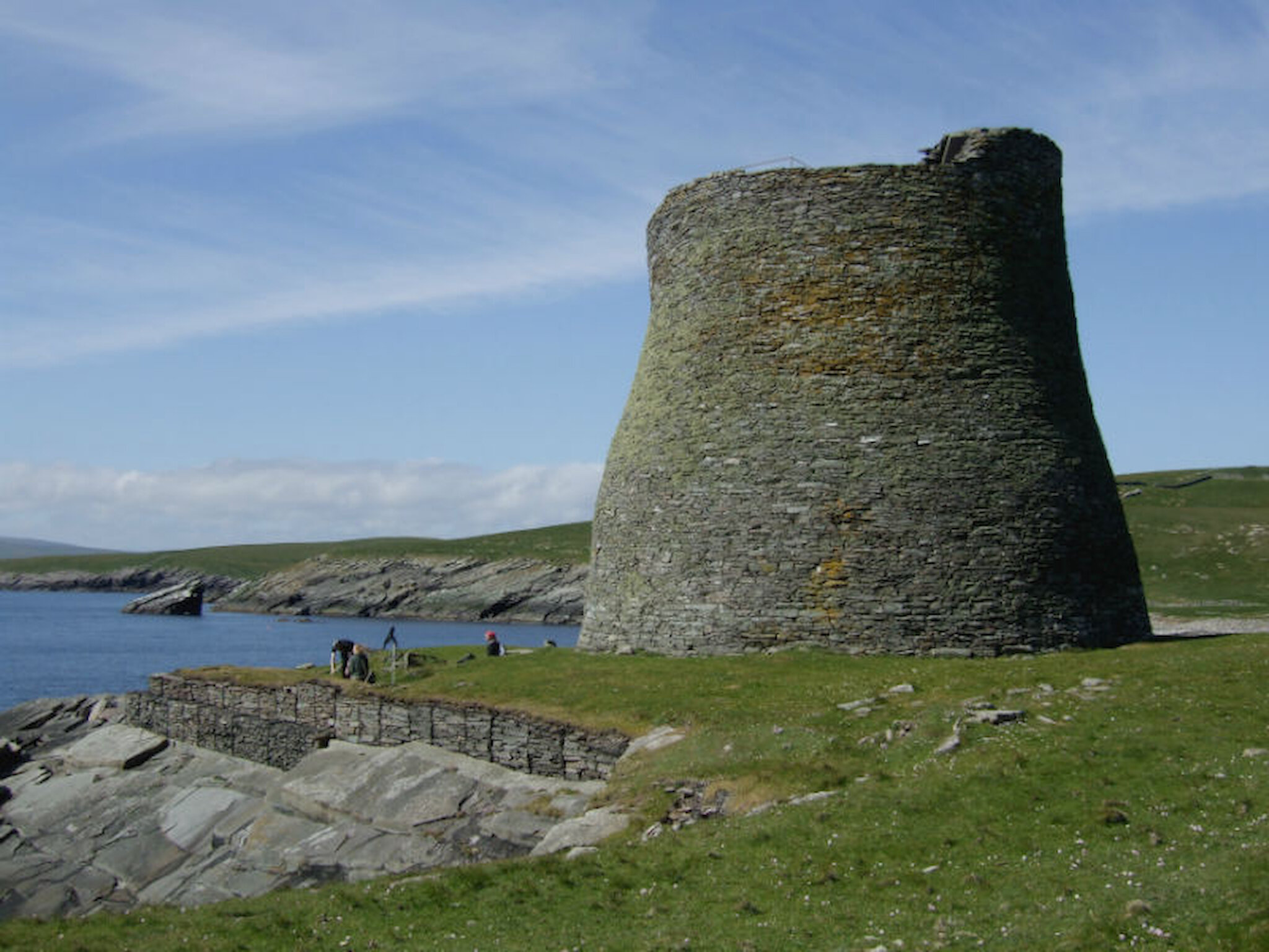
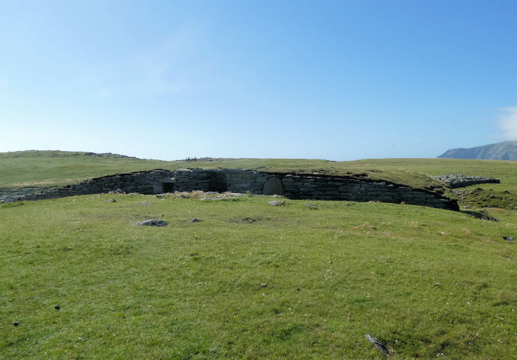
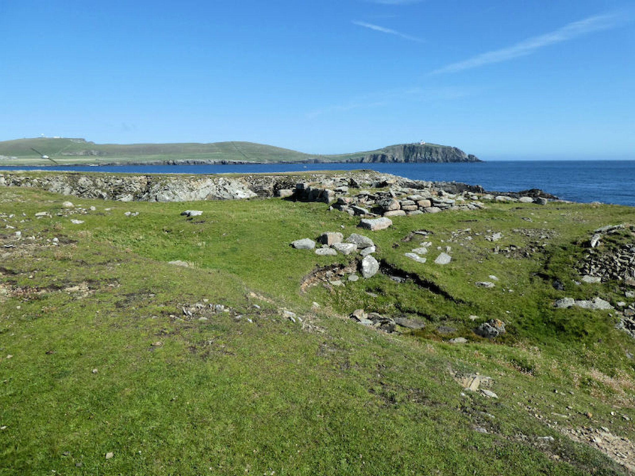
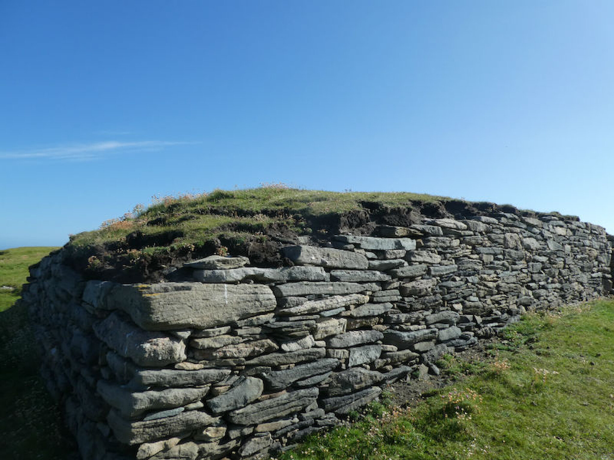
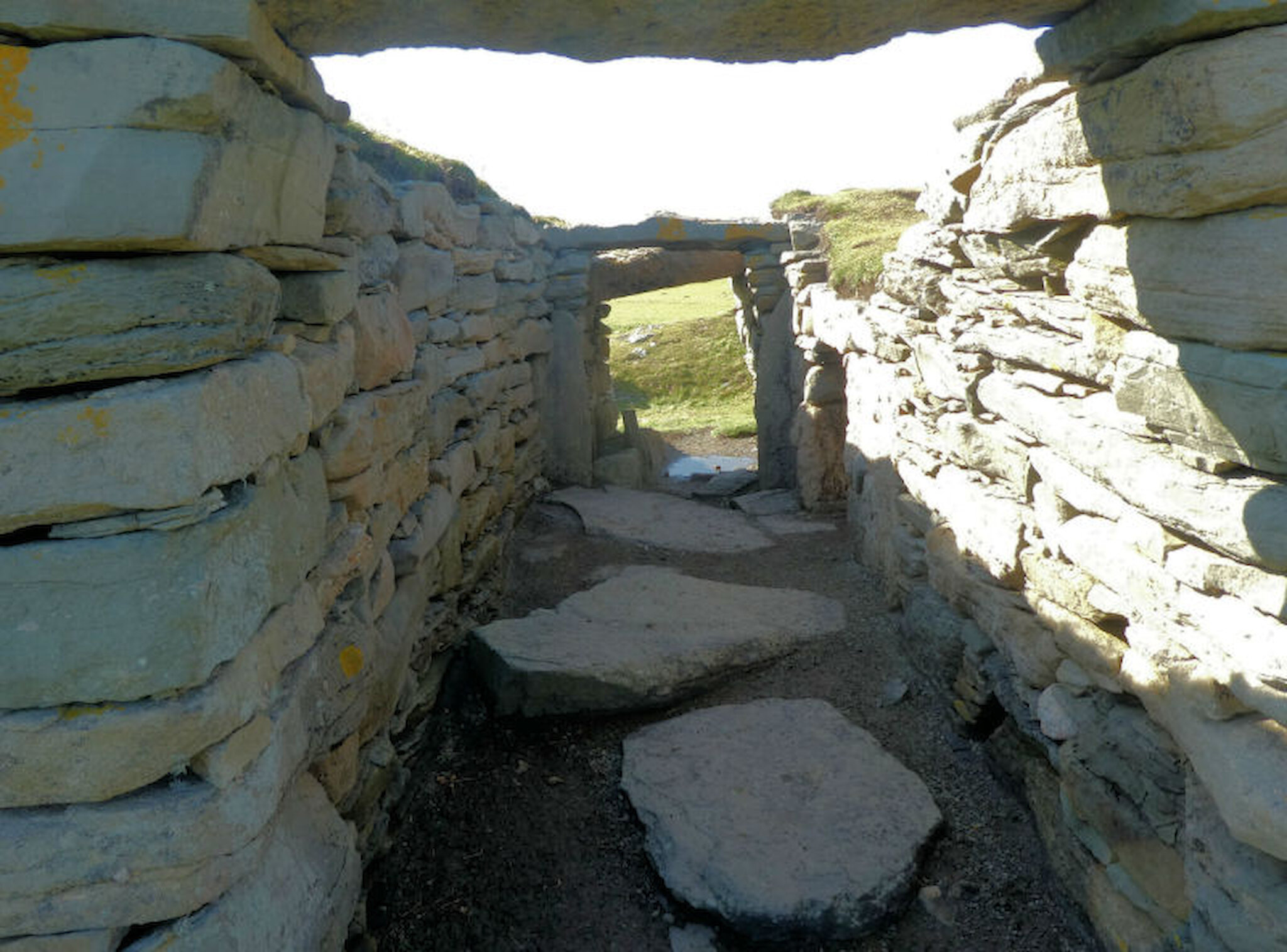
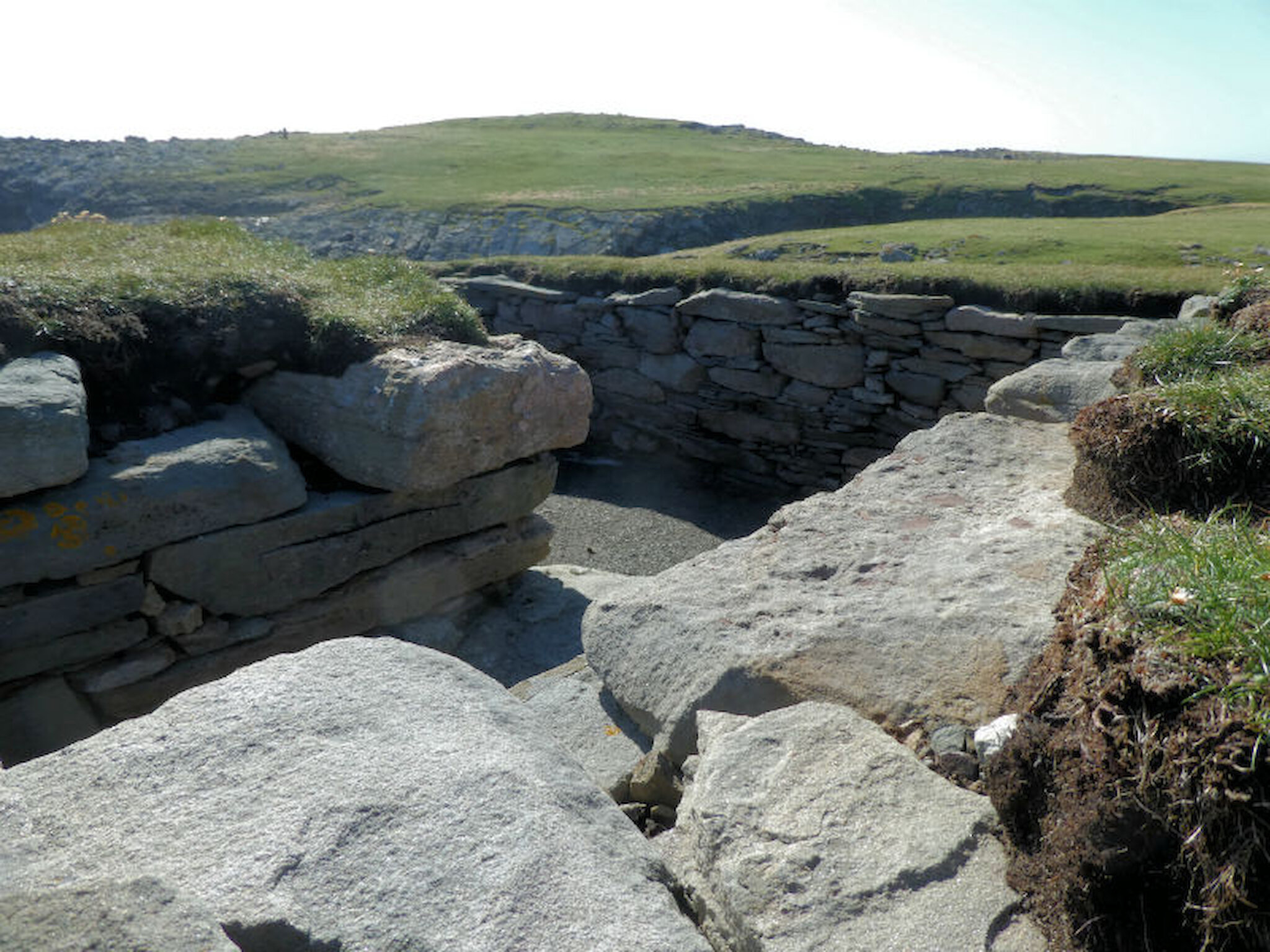
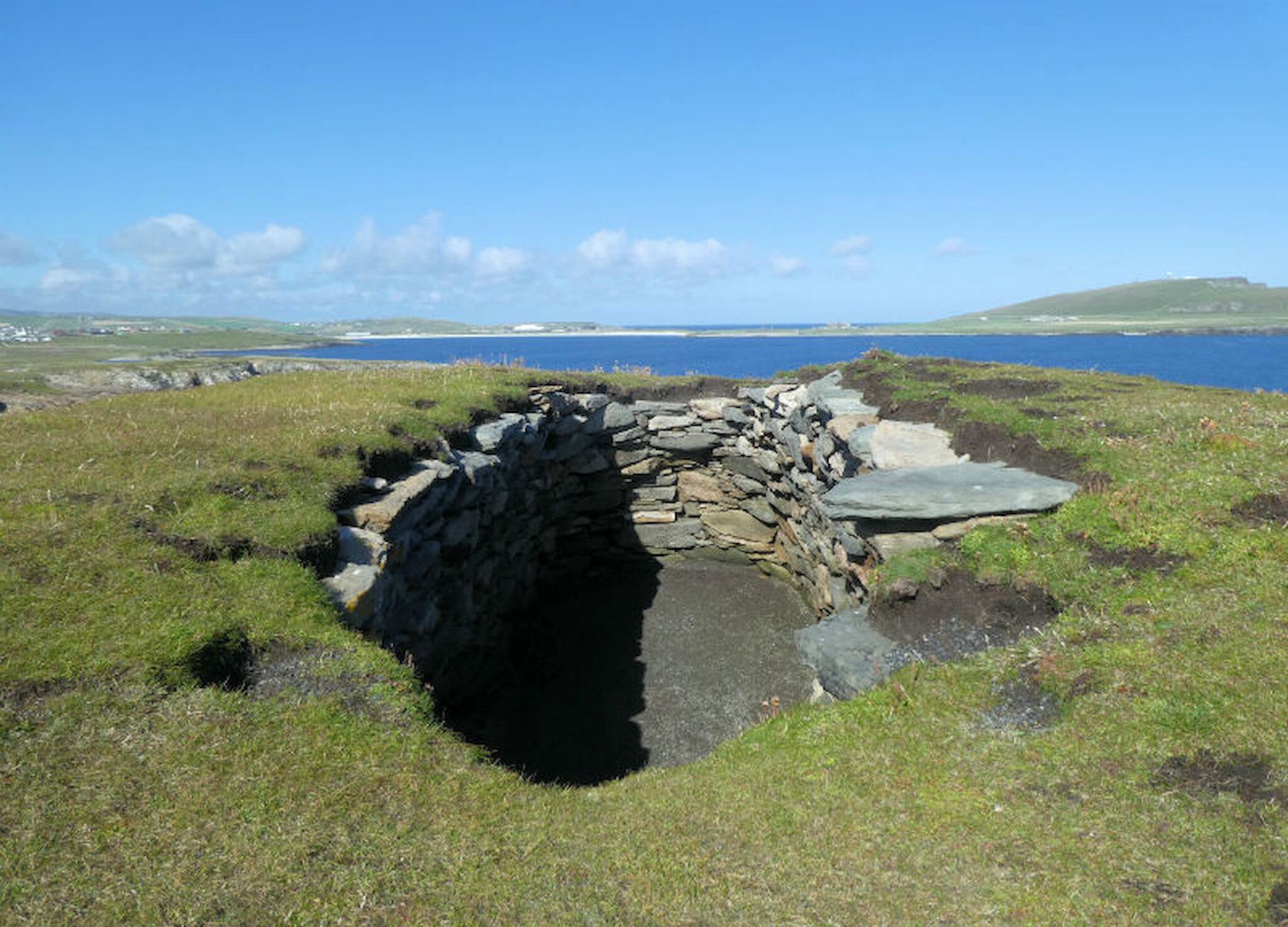
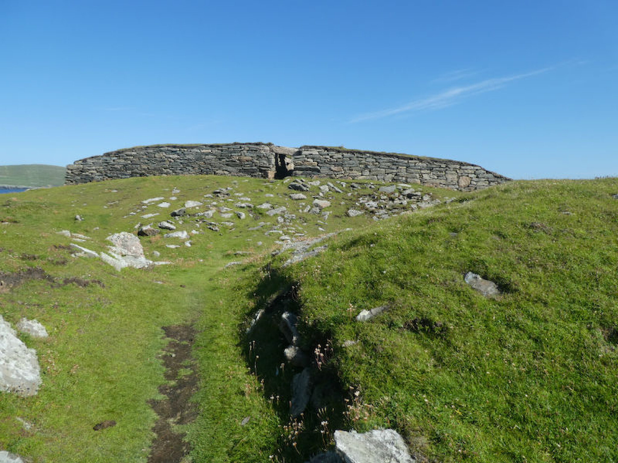
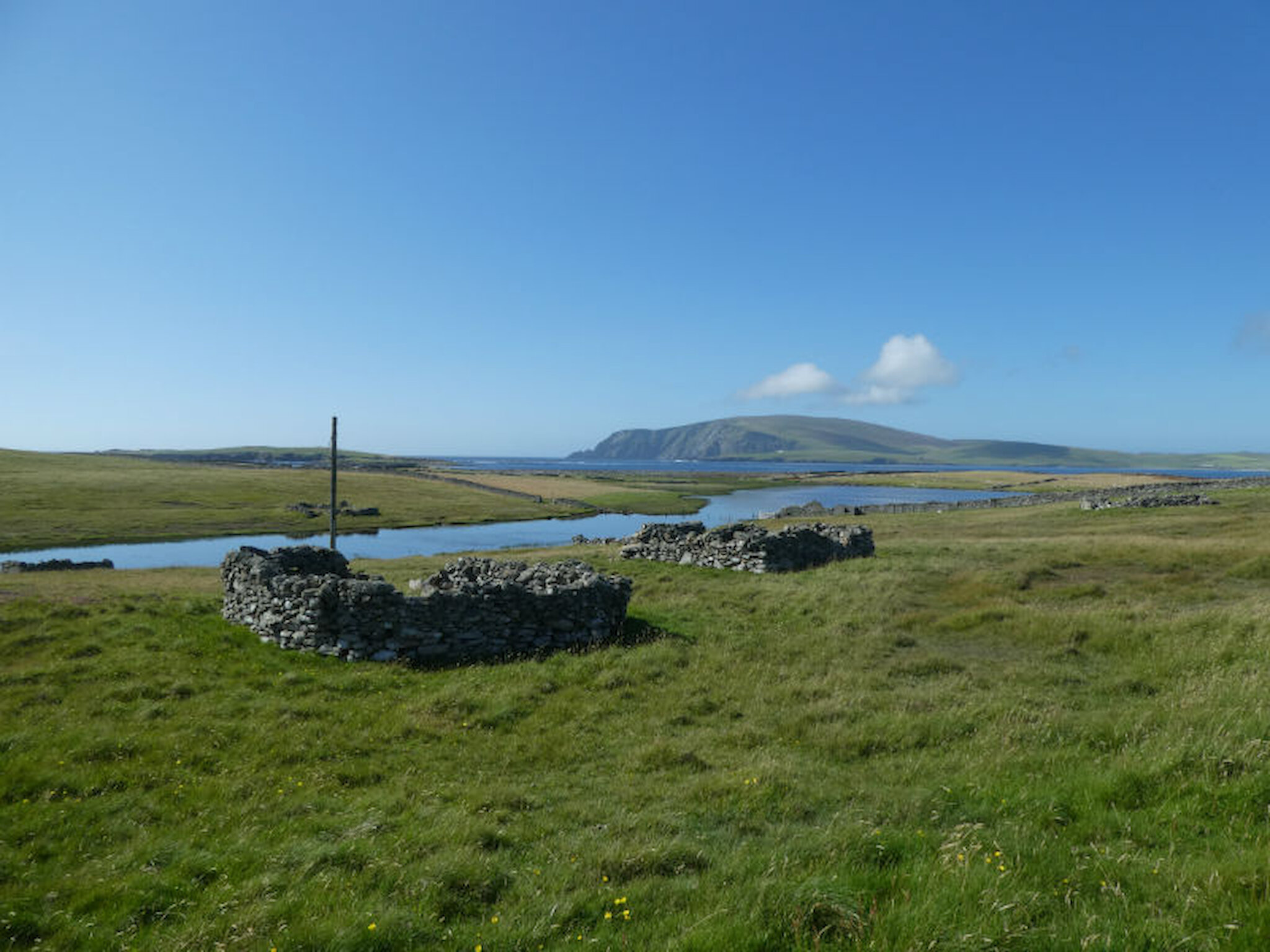
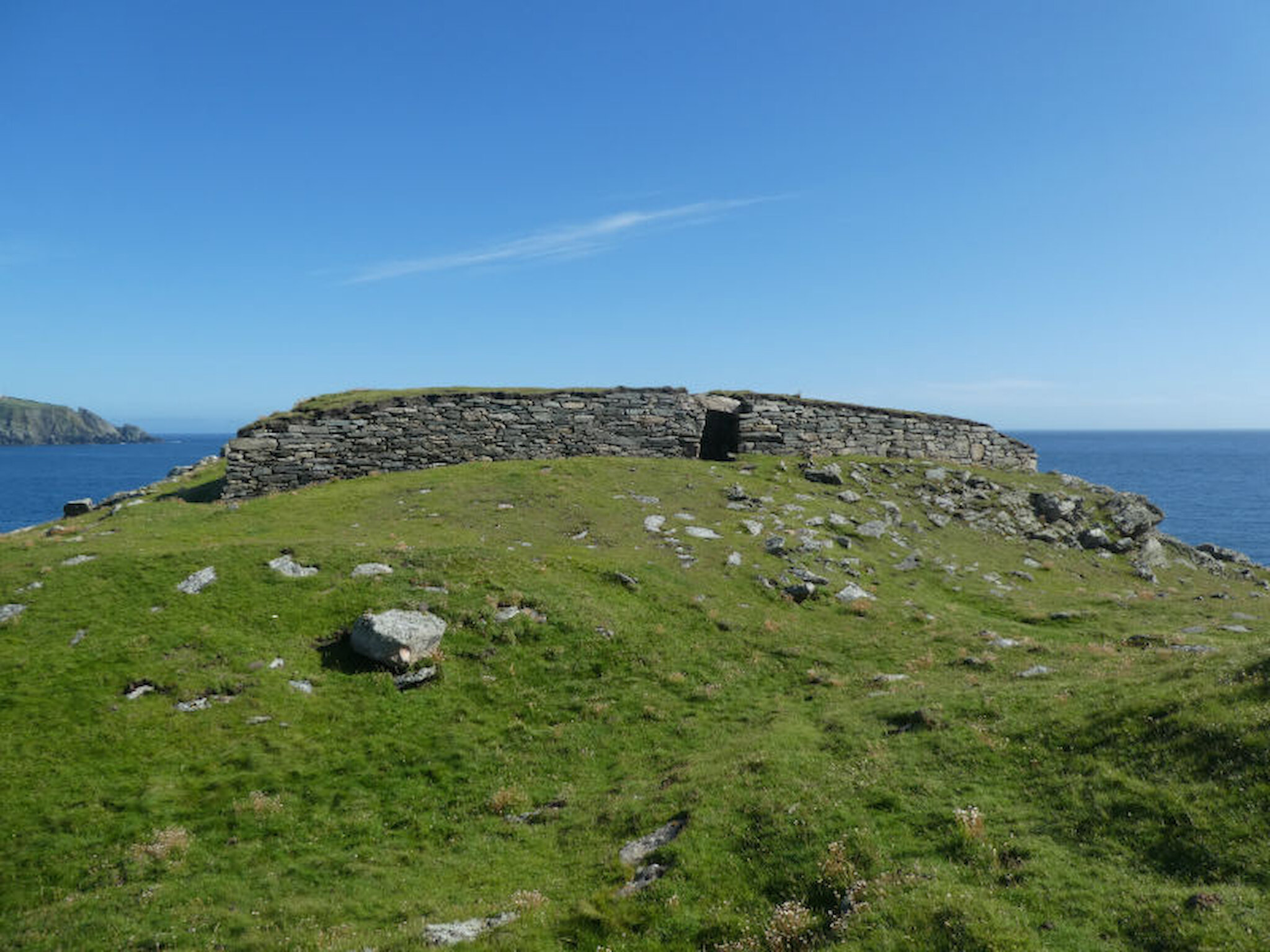
Yet other periods – earlier and later – are just as fascinating. Pre-Viking Shetland holds more mystery, with an abundance of field systems, other evidence of Neolithic and Bronze Age occupation and a wealth of Iron Age remains. From that last period, those that quite literally stand out are the hundred or so brochs – circular stone towers – that crop up in every corner of the islands. The best example anywhere is on the island of Mousa, off the coast at Sandwick, shown below.

There seems little doubt that the brochs were – at least in part – designed for defence. But were they purely defensive, a network of inter-visible fortresses? Or were they fortified dwellings, distant ancestors of the mediaeval Scottish tower houses that combined defensibility with comfortable living and a display of status? And, thinking about defence, what was the Iron Age threat?

Brochs are common across the north and west of Scotland, but one kind of Iron Age structure seems to be unique to Shetland. Five blockhouse forts are known here and the best preserved of them is the one at Ness of Burgi, at the southern tip of the Shetland mainland.

Less well known than other Iron Age sites, it’s nevertheless a rewarding target for a morning or afternoon ramble. I’ve visited it several times over the years. One of those excursions, in early 1993, was by helicopter, when I joined a party from Historic Scotland as they assessed any effects that oily spray from the nearby wreck of the oil tanker, Braer, might have had on the site.

My recent visit was altogether more relaxed. It was simply a matter of parking at the turning place where the public road ends, taking care not to cause any obstruction. From there, it’s possible to walk south by three routes, choosing either the east or west coast or heading down the middle of the peninsula; a circular walk is the best option.

By any standard, this is a spectacular stretch of coast. That’s not just because of the foreground – huge, slabby rocks, cliffs battered by the sea for millennia and – even on a calm day – the sound of a low Atlantic swell breaking on the shore. The views out are terrific, too: Fitful Head to the north-west and Sumburgh Head to the east.

It’s normally possible to see Fair Isle 25 miles to the south but, on the day I was there, a run of warm, humid weather meant that only the faintest outline was discernible through the haze.

There’s wildlife, of course: arctic terns (tirricks) were there in numbers when I visited, along with shags (scarfs) , oyster-catchers (shalders) and a range of gulls. I spotted a seal, too, and, if there are any orcas around, this is a good vantage point.

In fact, there are the remains of two forts on this peninsula. Walking down the east side, you come first to a site (above) that features a circular rampart and ditch, with the remains of what seems to have been a fairly small fort at the centre.

Beyond here , it’s necessary to scramble along a ridge of rock linking the northern and southern parts of the peninsula. There’s a chain to grab, which is just as well, as the going is fairly rough, with vertical drops on either side for part of the way.

Just a little farther on, we arrive at the Ness of Burgi fort. It, too, is protected by a rampart and ditch, though archaeologists aren’t sure whether these and the fort itself were created earlier or later than the fort itself. But that’s the least of the puzzles.

In Old Norse – from which almost all of Shetland’s place names spring – ness is a promontory, and there are scores of such names throughout the islands. Burgi is a derivation of borg, meaning fort, so Shetland’s Norse inhabitants assumed that this was an early defensive site.

That much we know, and – since the structure is well preserved – there’s no doubt about its general form. It’s a rectangular block-house measuring roughly 23m by 5.5m and its walls are nowadays about 1.5m high.

Within, there is a central passage, with cells or rooms to north and south. The walls would once have been higher; when the site was excavated in 1935, a large quantity of fallen stone was recovered and it’s been stored ever since in a large, neat stack.

This would not have been a sensible spot at which to build a farmhouse, so theories about is purpose have tended towards defence. However, some have speculated about a ritual or ceremonial role.

If defensive, what kind of defence did it offer? Was it perhaps a kind of early warning station, a place from which – if invaders were on the horizon – a smoke signal could be sent to other nearby brochs or forts at what’s now known as Old Scatness, a little to the north, Jarlshof, to the north-east and Sumburgh Head, to the east. Was it a secure retreat in times of threat? Or was it a base established not by local inhabitants, but by invaders?

Nor do archaeologists know for certain how the Ness of Burgi and the five other forts relate to the brochs. They share certain features, such as a cell by the entrance, but were they experimental structures that preceded the brochs, contemporary with brochs or perhaps later additions to an existing broch network?

Perhaps a new excavation, using the vast array of techniques added to the archaeologist’s toolbox since 1935, might throw some light on these questions.

If you’d like to explore the importance of the site in a bit more detail, you might want to look at the Statement of Significance for Ness of Burgi prepared by Historic Environment Scotland, on which this article draws.

But our lack of knowledge needn’t prevent us from imagining what life might have been like in this remote spot. Especially on a warm, calm day, it’s a place where one can easily fall into speculation or contemplation and it’s a great spot for a picnic, too.

Before heading back, I walked a little farther south and scrambled over huge, storm-tossed rocks to gain a better view of Horse Island, which lies just a little farther south than Sumburgh Head. This stretch of coast must be a stunning place in a storm, though access across that ridge of rock might well be impossible. Of course, cliffs are dangerous places at any time, so please take every precaution if you choose to explore our coastline.

This stretch of coast must be a stunning place in a storm

I chose a route back along the western cliffs, closer to that breaking swell and with more excellent views, particularly across to another small island, Lady’s Holm, and Fitful Head beyond. Closer to the starting point, there are several large planticrubs – stone enclosures that were traditionally used to grow cabbages, kale or other vegetables.

Earlier this year, I took a walk through the history of this corner of the south mainland, including the impressive archaeology at the Old Scatness site, discovered only in 1975 and excavated in the past 25 years, and the extensive, multi-period remains at Jarlshof just a little to the east. Sumburgh Head with its lighthouse is also unmissable, not to mention -during the spring and summer months – its puffins and thousands of other seabirds. Fitful Head, another possible target, is a rather longer (and more energetic) walk. However, it’s best reserved for a day that’s gin-clear, when the views are unforgettable.

Every part of Shetland has something to offer. In some districts, as here, the focus is on outstanding sites illustrating thousands of years of human history. In others, it’s all about the landscapes and seascapes, wonderful to explore in fine weather but just as memorable during a storm: either way, great experiences.