• Home
  • Blog
  • Jarlshof: More than 5,000 years of occupation
By Alastair HamiltonSeptember 17th 2020
Alastair Hamilton

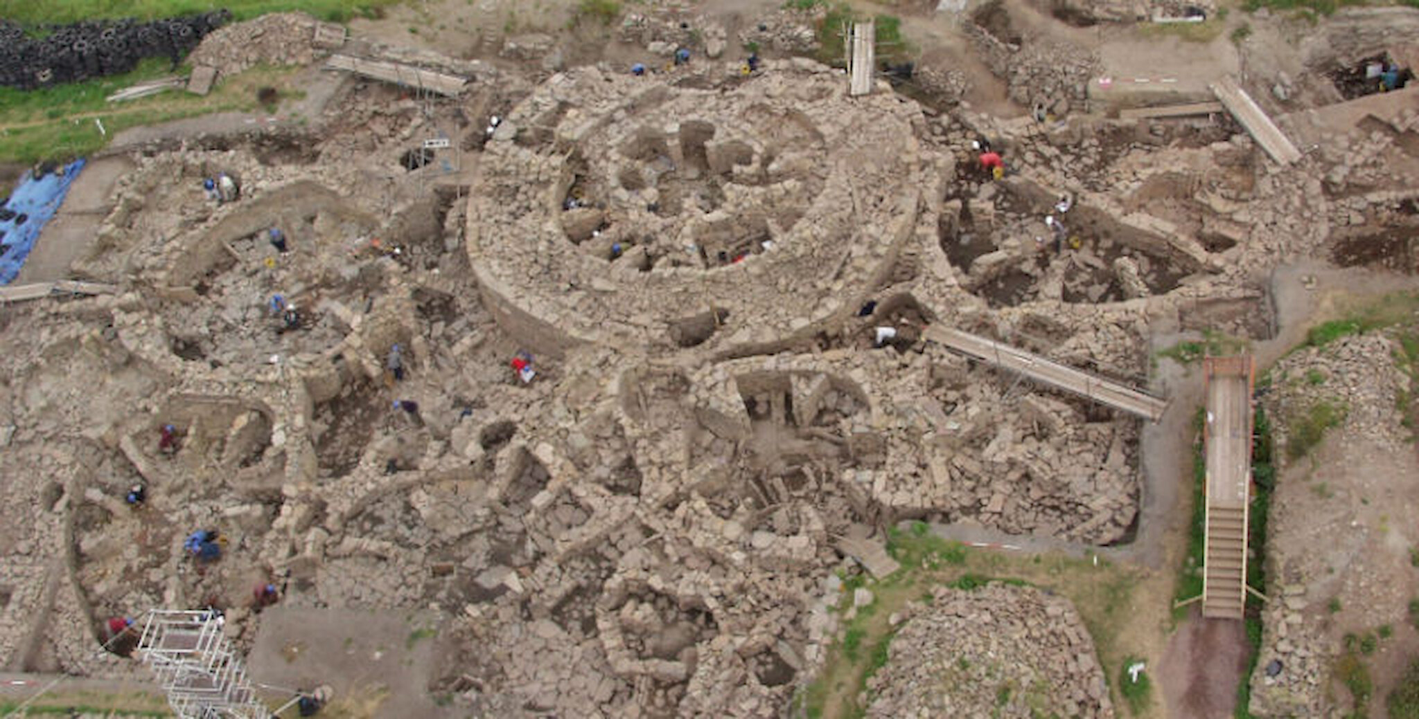
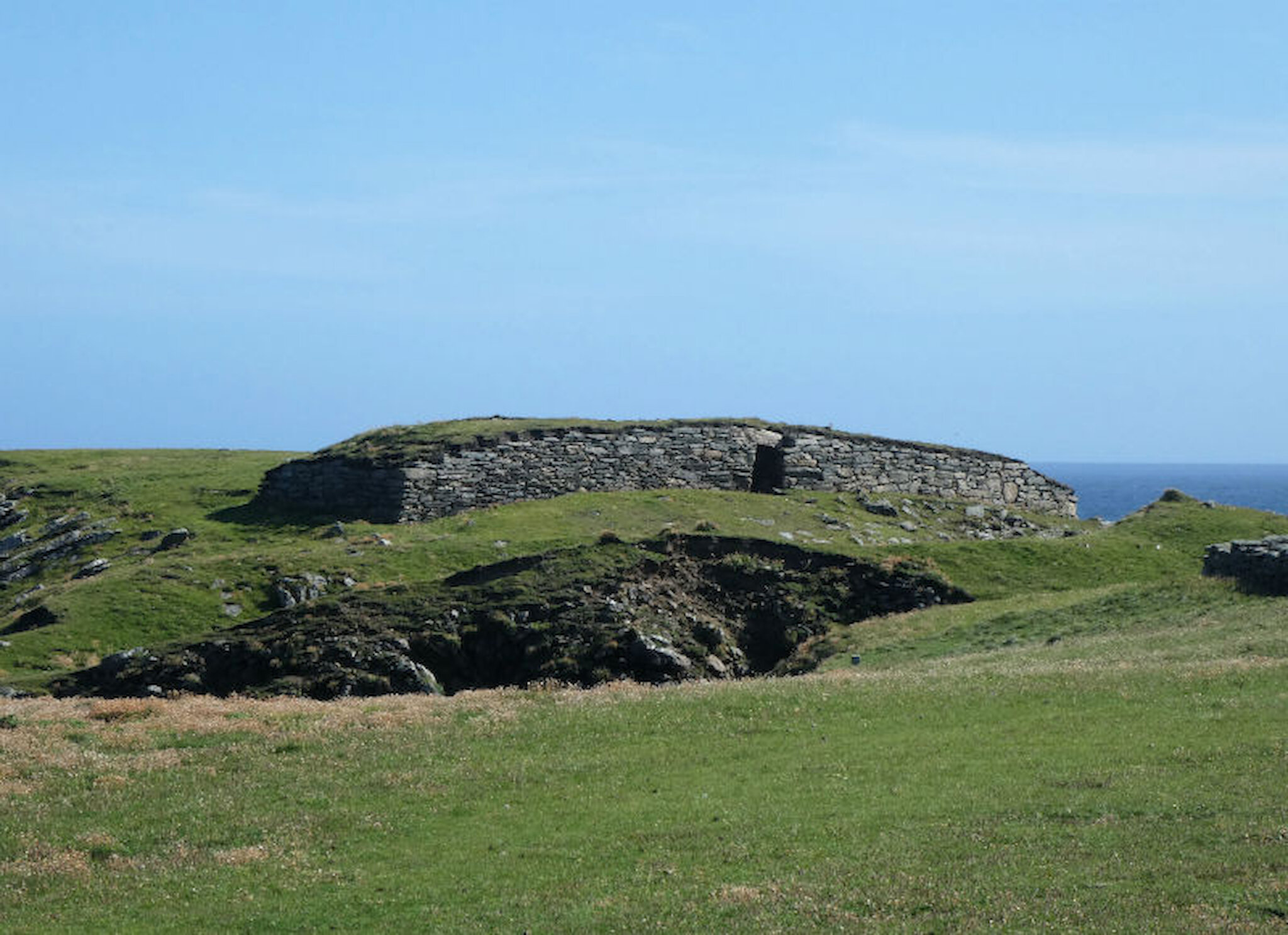
Shetland has thousands of archaeological sites: in fact, there are more than 8,000 in the islands' Sites and Monuments Record. All kinds of historic and prehistoric remains are present, from Second World War defences right back to the Neolithic period. There’s a rich maritime archaeology too, with many significant wreck sites that attract divers during the summer months.

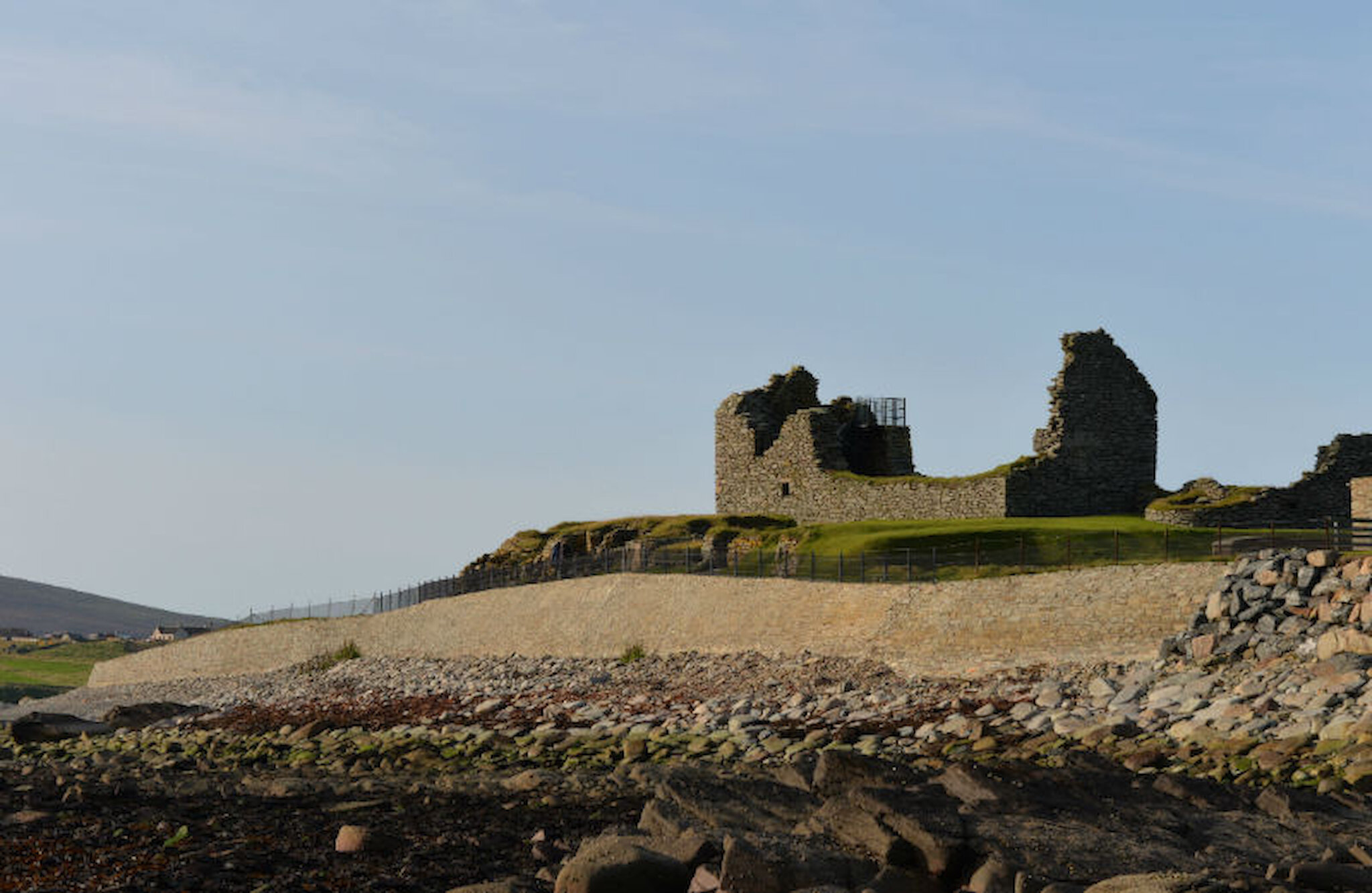
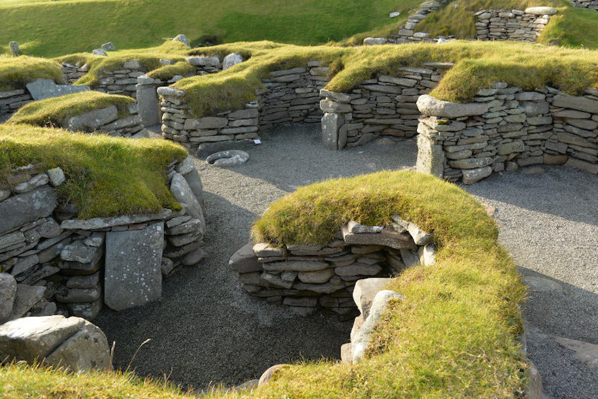
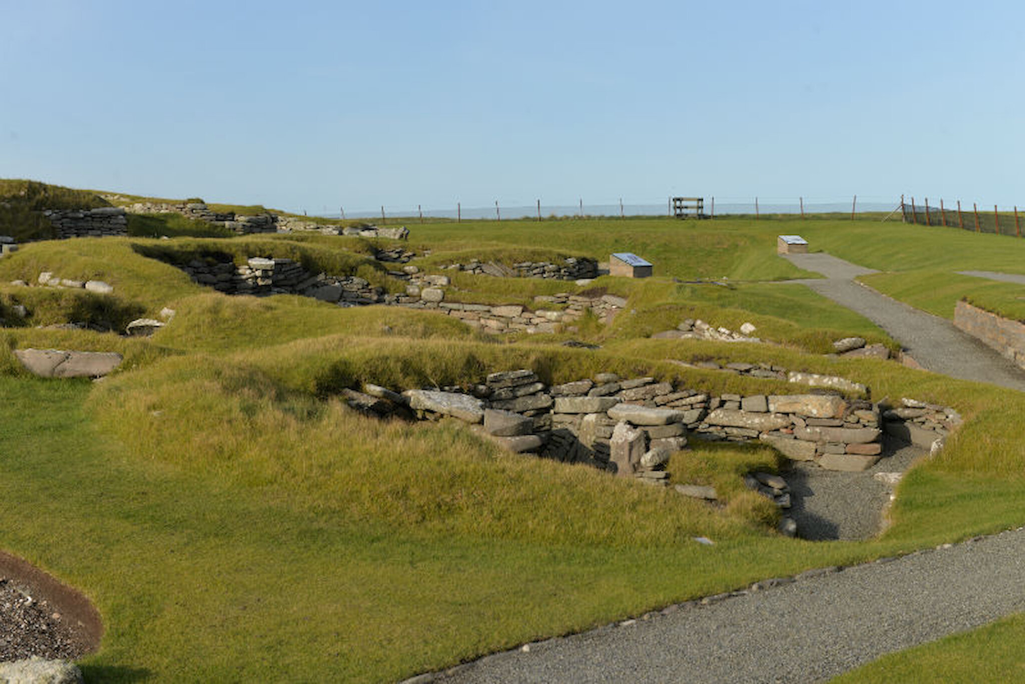
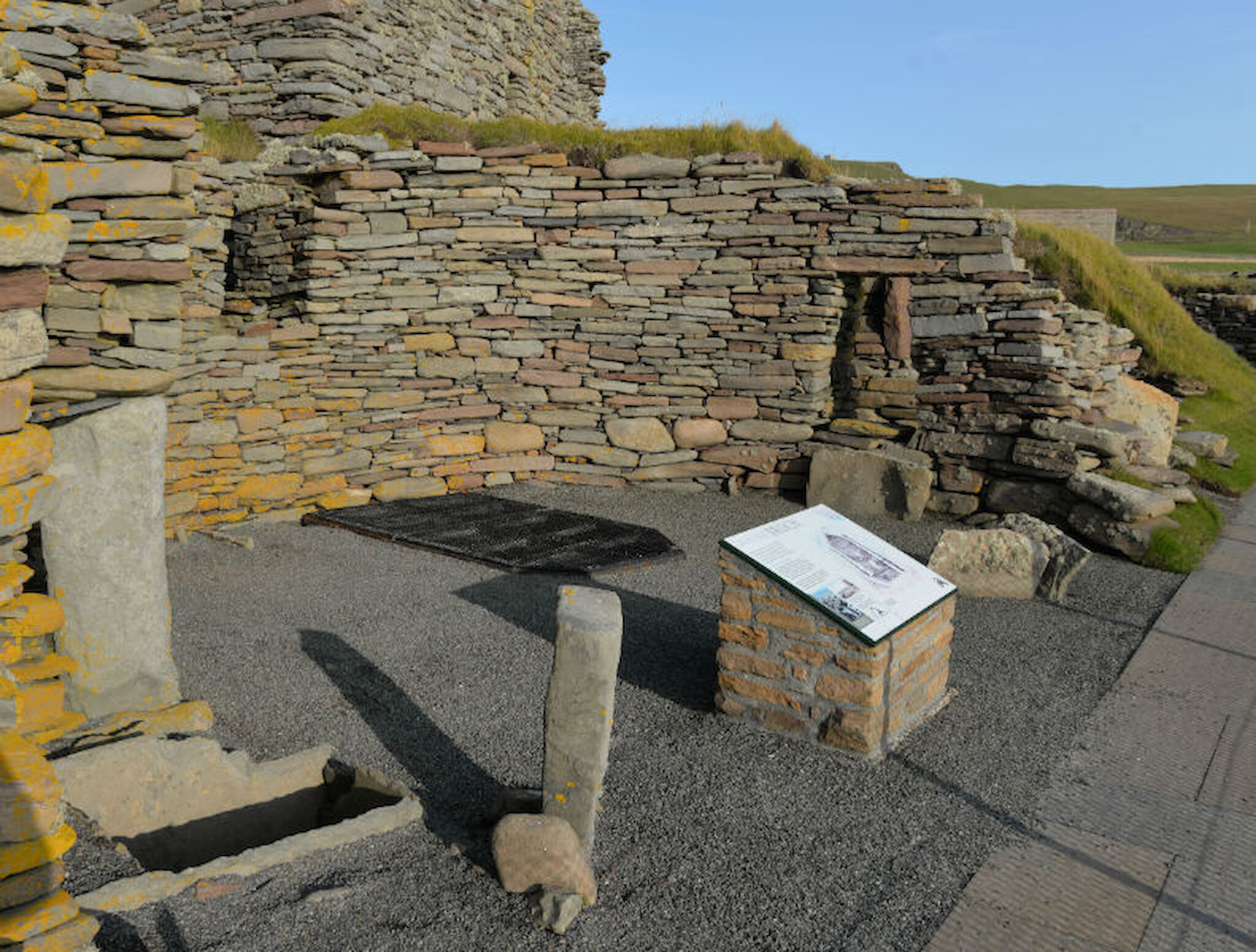
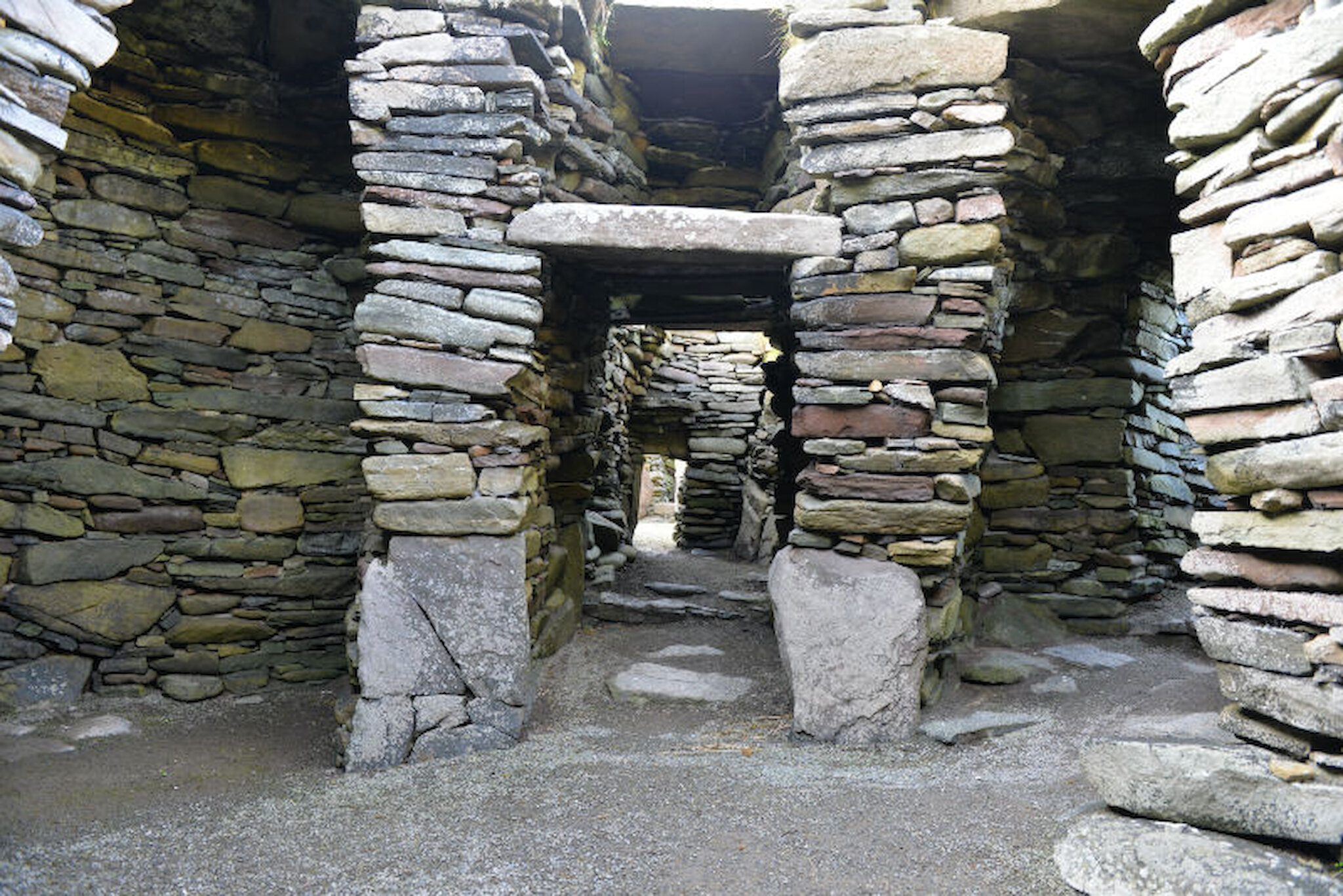
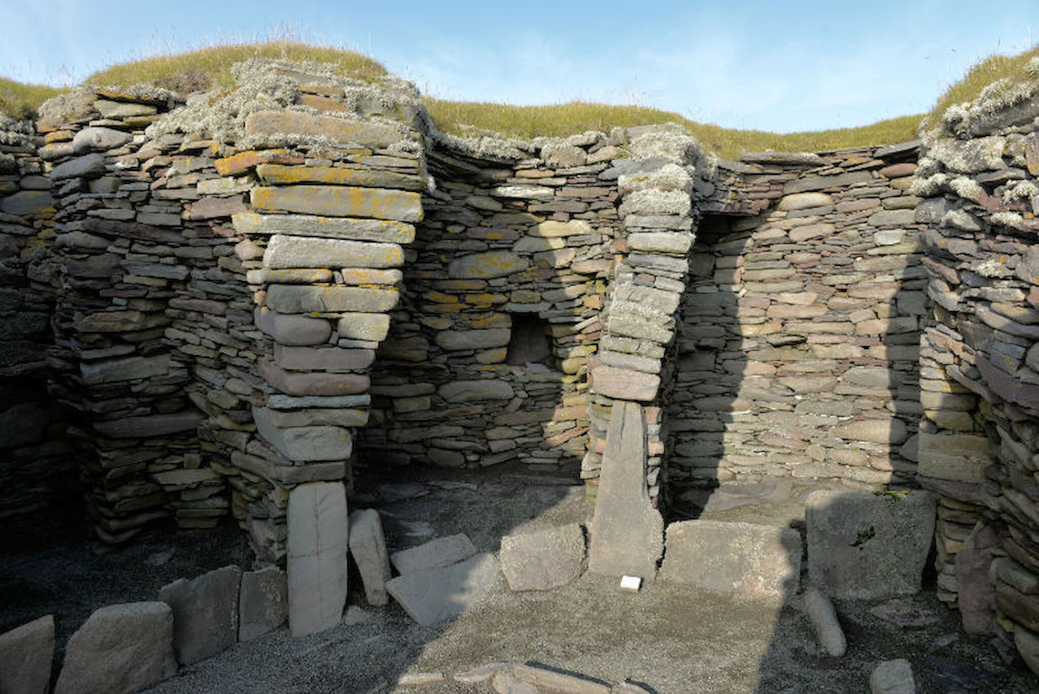
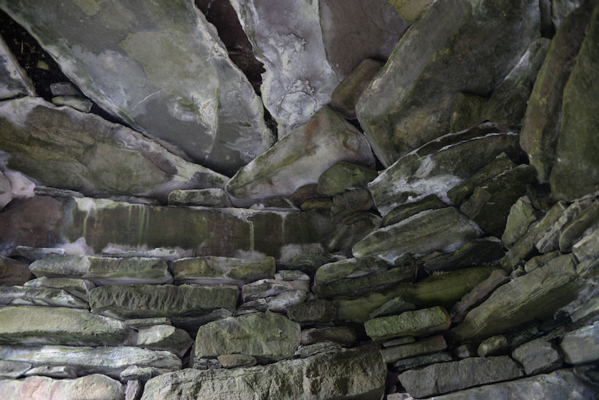
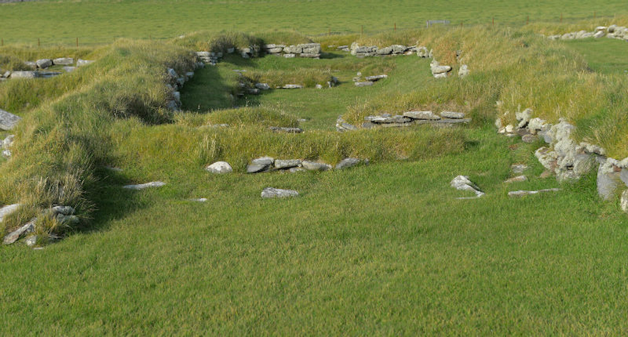
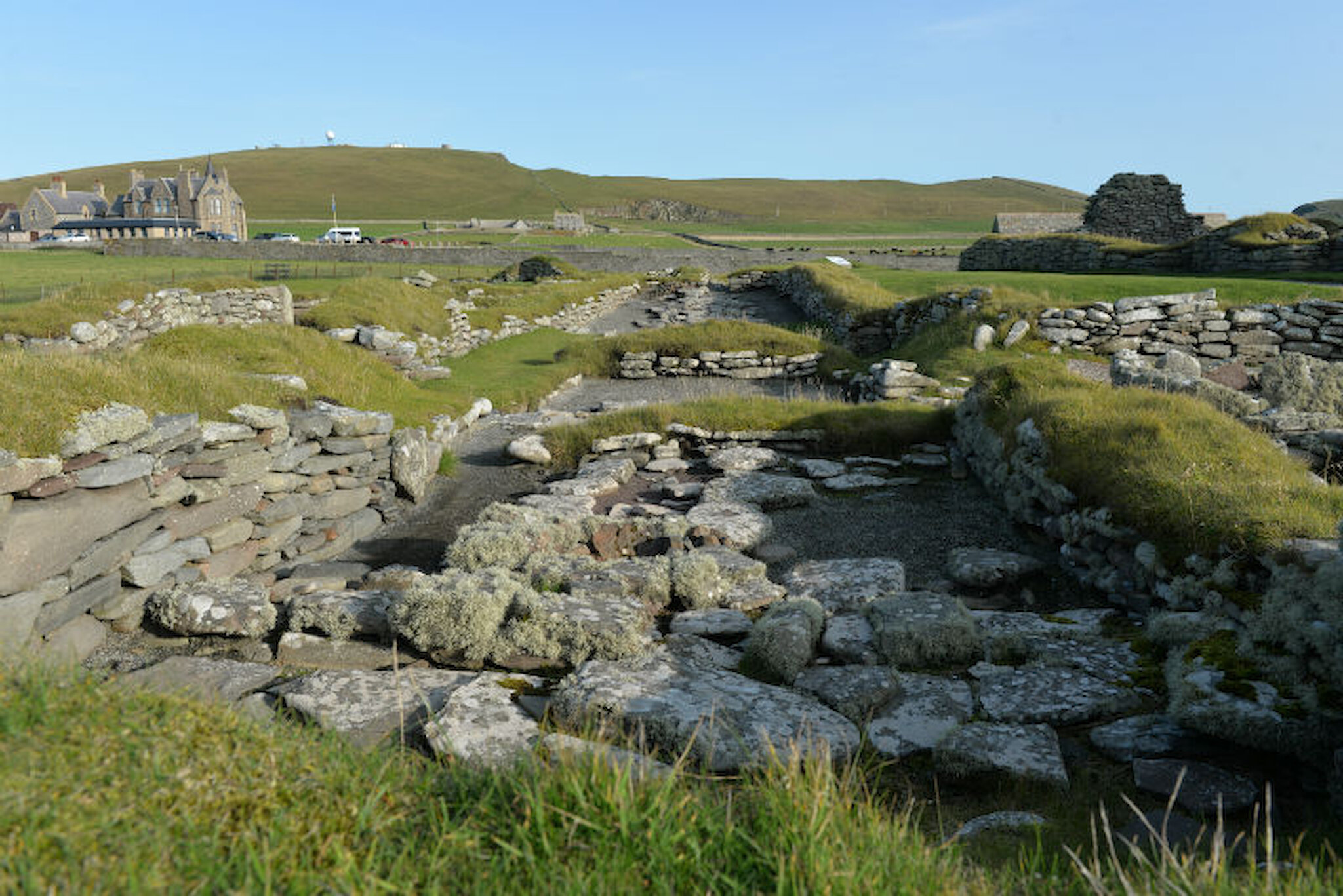
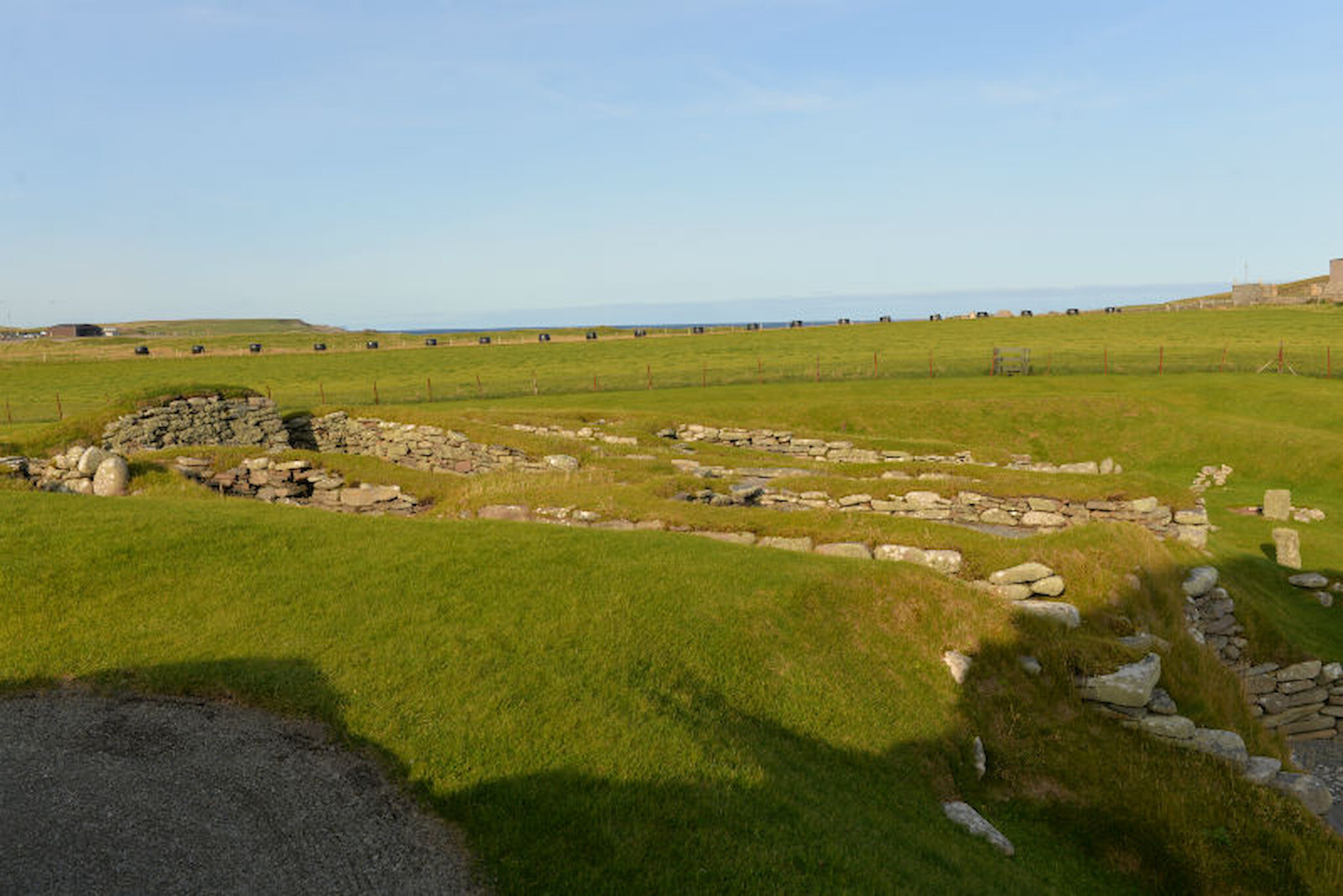
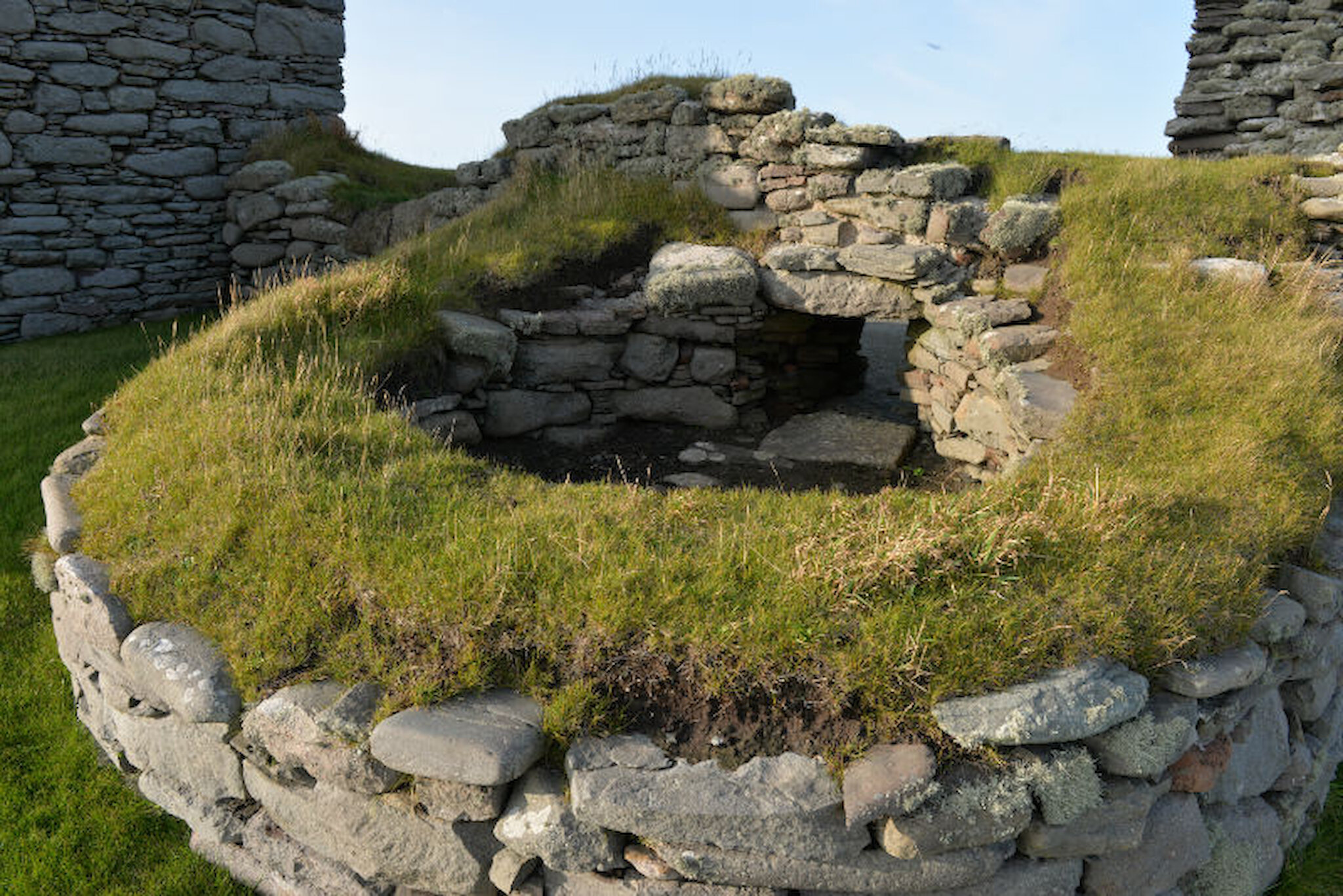
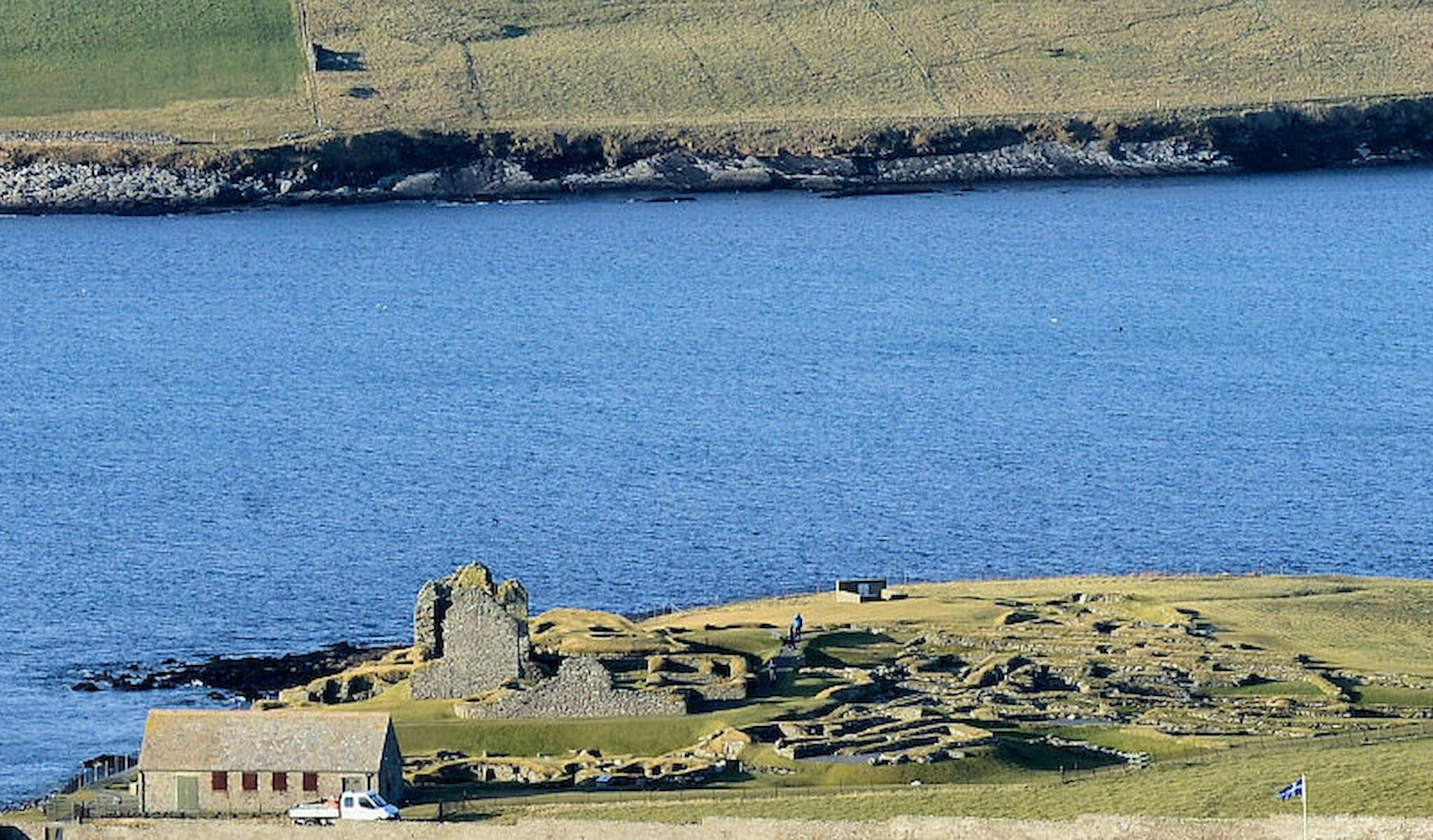
However, one site stands out, in national and international terms, as truly exceptional, and that is Jarlshof, situated in the south of the Shetland mainland, not far from Sumburgh Head.

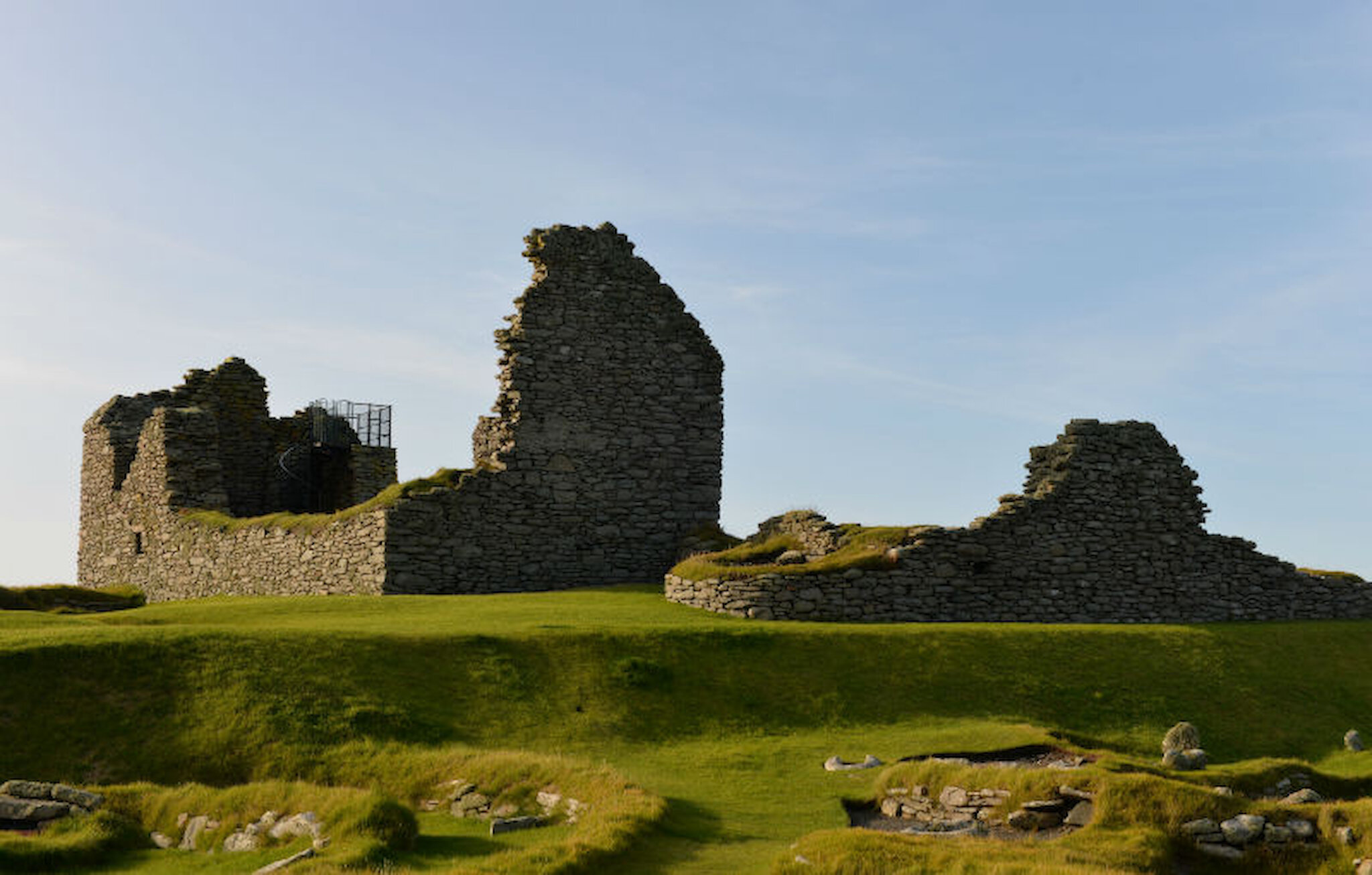
The name was bestowed on the site by Sir Walter Scott, who visited Shetland in 1814 on a cruise with the Commissioners of Northern Lighthouses. However, he gave the name not to the exceptional array of remains that we see today, but to the ruins of the early mediaeval laird’s house, the old house of Sumburgh, which at that time was the only structure visible. Scott went on to set one of the Waverley novels, The Pirate, here; it was published in 1822.

Why is the site so special? The first thing that strikes the visitor is its dramatic setting, right on the coast and protected by a sea wall. Then there’s its sheer size: it covers two hectares, or almost five acres.

However, two other things really set it apart. The first is the fact that this site has been in more or less continuous human occupation for more than 5,000 years; in Britain, that is extraordinary and possibly unique. The second is the quality and completeness of much of what remains. It’s a catalogue of building styles and technologies spanning almost the entire period of human settlement in Shetland.

Something else that’s striking about the Jarlshof site is its accessibility. There are many other sites in the northern isles that have well-preserved remains; the Neolithic settlement at Skara Brae in Orkney is an outstanding example, but visitors can only view the structures there from above. At Jarlshof, you can wander at will through the houses and experience the same feelings – the snug surroundings of the wheelhouses, or the scale of a Norse farmstead – as their original occupants. Especially if you’re visiting with children, few other sites give quite so much scope for the young imagination, or the opportunity to explore so many tunnels!

Scott could, of course, have had no idea of what lay beneath his feet as he wandered around the ruins of the laird’s house. It was only in the 1890s, eighty years after his visit, that erosion of the then unprotected coastline revealed the remains of some structures.

The first of several excavations was undertaken in stages under the auspices of the landowner, John Bruce, between 1897 and 1906. He also installed the first coastal defences. The site came into state care in 1925 and there were further periods of excavation between 1931 and 1939.

In 1950, another series of excavations was directed by John R C Hamilton, which led to the publication, in 1956, of a comprehensive account of the site as it was then understood.

However, he and the other leading archaeologists who had preceded him (including Alexander O Curle and Prof. V Gordon Childe) didn’t have the range of archaeological tools that their successors today take for granted. The first experiments in radiocarbon dating had begun in 1939 and the technique only became widely available after Hamilton had completed his work.

To help fill the gaps in our understanding of Jarlshof, small-scale excavations were undertaken in 2004, towards the north of the site, by Stephen J Dockrill, Julie M Bond and Colleen E Batey. These resulted in dates for the Neolithic settlement. However, research will no doubt continue in the years ahead.

So, what’s to see? In Covid-free times, a visit would begin at the small visitor centre at the site entrance, where the displays offer a good introduction to a site that is not only multi-period but multi-layered. Understanding it all does require us to think in three dimensions, and although excavations have revealed a great deal, the uppermost layers, perhaps especially the mediaeval one, undoubtedly conceal more archaeological riches below.

It's best to begin with the oldest visible part of the remains. These, north of the visitor centre, date from the Neolithic period and we find the outline of an oval house. According to the evidence from the 2004 excavations, it would have been occupied around 3,600BC.

Moving back towards the visitor centre, we come next to the Bronze Age settlement, which includes a former smithy that was in use around 800BC. To smelt bronze, it would have been necessary to import tin from the nearest source, which is in Cornwall. Trade over substantial distances was part of prehistoric life.

There are Iron Age remains close to the Visitor Centre.

We're now back by the sea wall and, walking along it, we come to the enormously thick walls of the broch. Half of it has been lost to the sea, which means that we can view it in cross-section.

We come next to the wheelhouses, which are among the best preserved anywhere, complete with the original room layouts, connecting passages and corbelled roofs.

Exploring the wheelhouses - so called because the structure resembles the spokes of a wheel - is a highlight of any visit.

Moving north again, the site opens out to reveal a large area occupied by the rectangular longhouses that are so characteristic of Norse settlement. Vikings probably began to settle here some time around 850AD. Archaeologists have puzzled over the chronology, but it seems that only one or two of the buildings may have been occupied at the same time. Here are two views of them.

Heading back towards the visitor centre, another set of remains appears, and this was a mediaeval farm, shown below.

Finally, we turn our attention to the laird’s house, featured in the pictures below, that has been in the background all the way. It is estimated to date from the late 1500s or early 1600s. Even in its ruined state, it’s clear that it would have been an impressive building and very easy to understand how, in this beautiful setting, it would have fired Sir Walter Scott’s imagination.

At the east end, a staircase leads to a viewing platform, from which you can see almost all of the site, with a particularly good view of the wheelhouses. Just north of the house, there is an area marked by stones which is said to be the burial place of shipwrecked seafarers.

Jarlshof really is an extraordinary place. You can find more information in the Statement of Significance for the site, prepared by Historic Environment Scotland, which can be downloaded here.

But Shetland has many more archaeological sites to explore, several of them close to Jarlshof.

Just to the west of Jarlshof, at the other end of a long, sandy beach, the remains at Old Scatness came to light in 1975, when a new airport access road was being built. Excavations began in 1995 and several years of excavation have thrown new light on the Iron Age and brochs in Shetland, incidentally helping us to understand more about that period at Jarlshof. Dating of the finds indicates that broch-building began earlier than expected, between 400BC and 200BC. There was also a Pictish village and Vikings left their mark, too.

Still within walking distance, the enigmatic structure, probably a fort, at the Ness of Burgi (above) is well worth a visit, too. There’s more about the walk to it here.

To the north, roughly half way to Lerwick, the broch on the island of Mousa is unmissable; but the ancient steatite quarries at Catpund, between Sandwick and Cunningsburgh are another highlight, though reaching them does involve a bit of a scramble up the hillside and care is needed.

There’s much more, of course and we’ve brought together some of the highlights here. An online search for Shetland archaeology will produce many rewarding links.